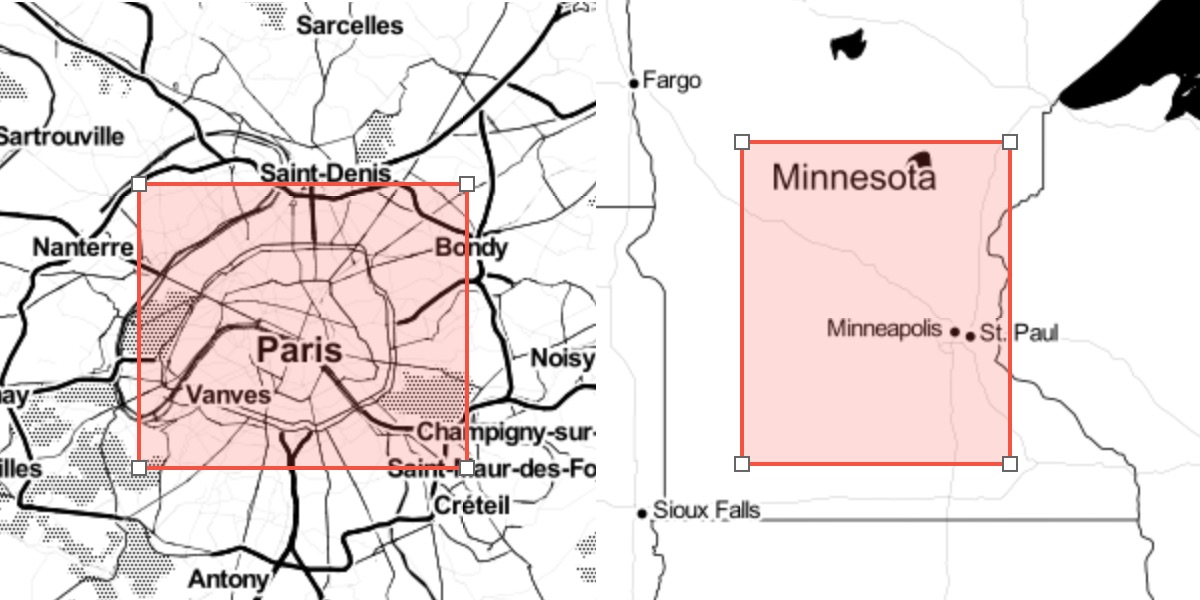
A common user interaction in GIS applications is selecting a bounding box or polygon: Your application may then use this polygon to do things like: Render a high resolution, printable map image. Generate a report of the surface area of buildings. Calculate an isochrone map of distance to transit. Users of your service expect that any action will complete in a reasonable amount of time. It’s smart to build in a limit for the amount of data processed on the server.