Drone vs. ground surveys: Why both are needed
Explore the differences between drone vs ground surveys and learn how both enhance site data collection in construction projects.| Propeller
Explore the differences between drone vs ground surveys and learn how both enhance site data collection in construction projects.| Propeller
Discover site data management strategies to consolidate surveys and designs for better team collaboration and efficiency.| Propeller
Cutting-edge drone technology and data solutions, Smart Surveys for Earthworks. Explore our tools, from aerial mapping to data analysis.| Propeller

Maximize your drone missions with effective mission planning. Discover best practices shared by experts during Power Hour.| Propeller
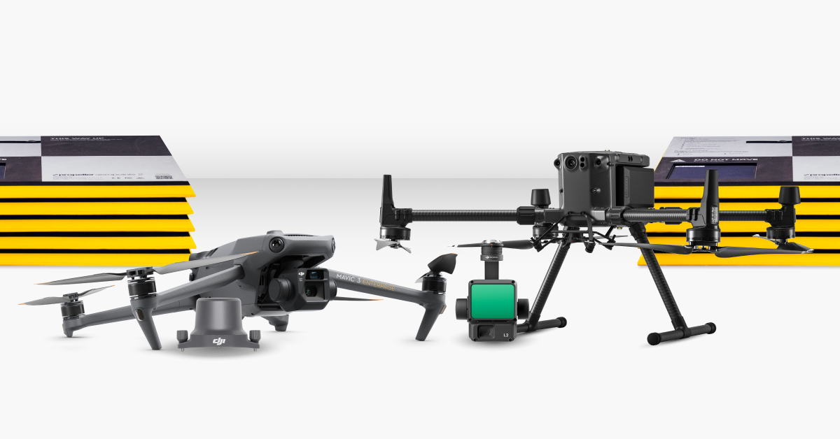
The post Choosing between M3E and M4E? Here’s what you need to know appeared first on Propeller.| Propeller
The post Certified under the Data Privacy Framework (DPF) appeared first on Propeller.| Propeller
The post Combine your drone and ground surveys in Propeller appeared first on Propeller.| Propeller
The post Site communication, solved: How Markup keeps teams in sync appeared first on Propeller.| Propeller
The post No drone, no problem: 5 drone-free workflows that deliver big value appeared first on Propeller.| Propeller

Explore how TIN surfaces can enhance your workflow with seamless integration for improved site data management.| Propeller

Discover how daily production data transforms your operations and keeps you on budget with real-time insights.| Propeller

Explore machine mapping to streamline civil construction projects. Update 3D site surfaces with real-time elevation data.| Propeller

Uncover construction's top 5 profit-draining time-wasters. Boost efficiency + save time with easy solutions from Propeller.| Propeller
Transform simple drone photos into precise 3D surveys. Boost project accuracy & collaboration. See how industries use photogrammetry.| Propeller
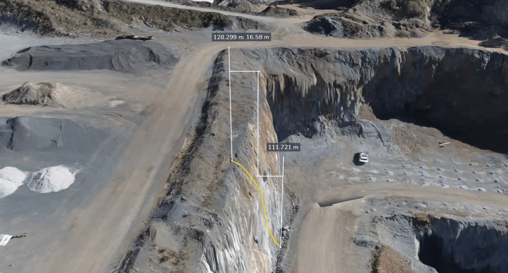
To validate our how accurate claims, we field-tested our PPK workflow for photogrammetry and lidar at a 100-acre civil construction site.| Propeller
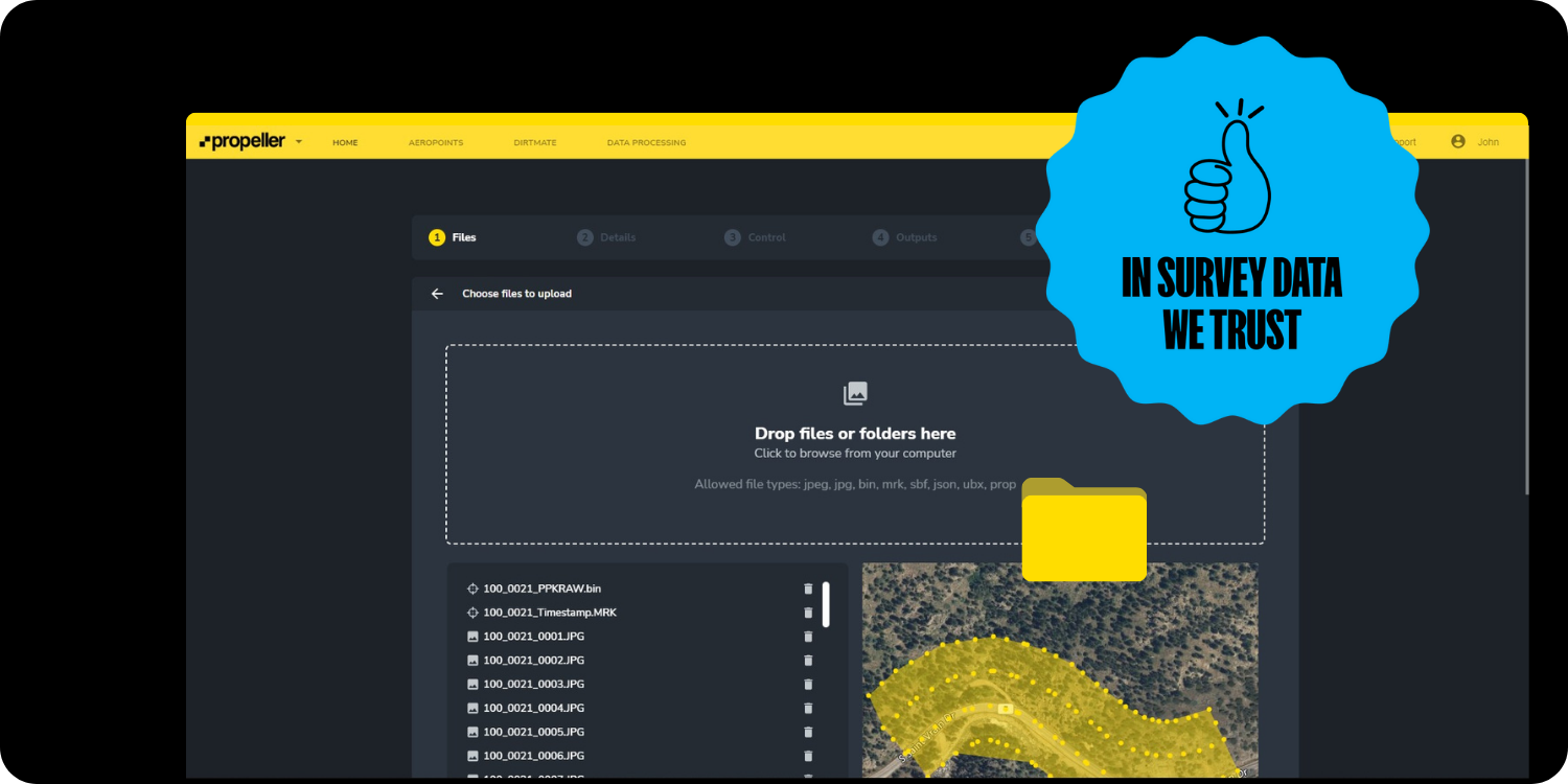
Discover the power of centralizing project documentation with Propeller. Store and share survey data with just a few clicks.| Propeller
