
TruPulse 360i: a Market Differentiator - Laser Tech
In this video Q&A & review of the TruPulse 360i, Acer Forestry Solutions founder M. Gabrielse calls his rangefinder a market differentiator.| Laser Tech
In this video Q&A & review of the TruPulse 360i, Acer Forestry Solutions founder M. Gabrielse calls his rangefinder a market differentiator.| Laser Tech
Magnetic interference can throw off your azimuth and 3D measurements taken with the TruPulse® 360i. This guide breaks down what to look for, how far to stay from common objects, and how to keep your compass calibrated – so your rangefinder delivers accurate data wherever you work. Avoid Magnetic Interference for Accurate TruPulse 360i Measurements… The post TruPulse 360i Magnetic Interference Guidelines appeared first on Laser Tech.| Laser Tech
We strongly recommend that our app users remain on Android OS 14 for the time being to maintain full functionality.| Laser Tech
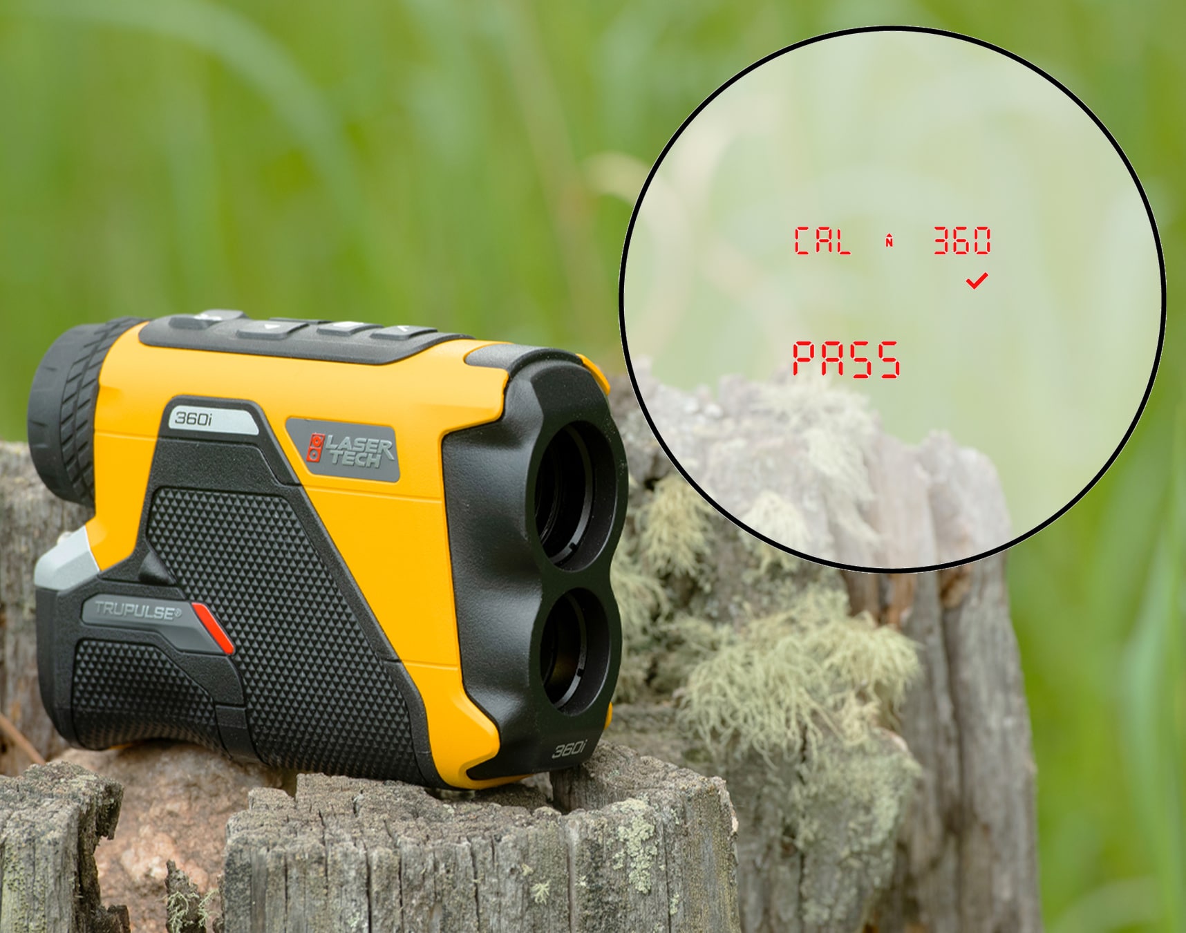
This article shows you how to perform a TruPulse 360i laser rangefinder's user compass calibration routine.| Laser Tech

Here's how to remotely position assets via the TruPulse 360i Distance-Azimuth offset workflow, compatible with ArcGIS Field Maps.| Laser Tech

The Mississippi Department of Public Safety's CMV safety push starts with training on TruVISION lidar with tailgating detection technology.| Laser Tech
Question: How can I maintain high-accuracy positioning abilities in RTK-denied locations? Answer: Traverse into the RTK-denied area with a GNSS receiver, TruPulse® rangefinder, and MapStar® TruAngle® II to position assets via Laser GIS®. Our traverse workflow helps you easily position hard-to-reach assets, often located in tight urban alleys, parking garages, or underneath a dense canopy. The hardware… The post High Accuracy in RTK Denied Locations: Traversing with LaserGIS® appeared...| Laser Tech
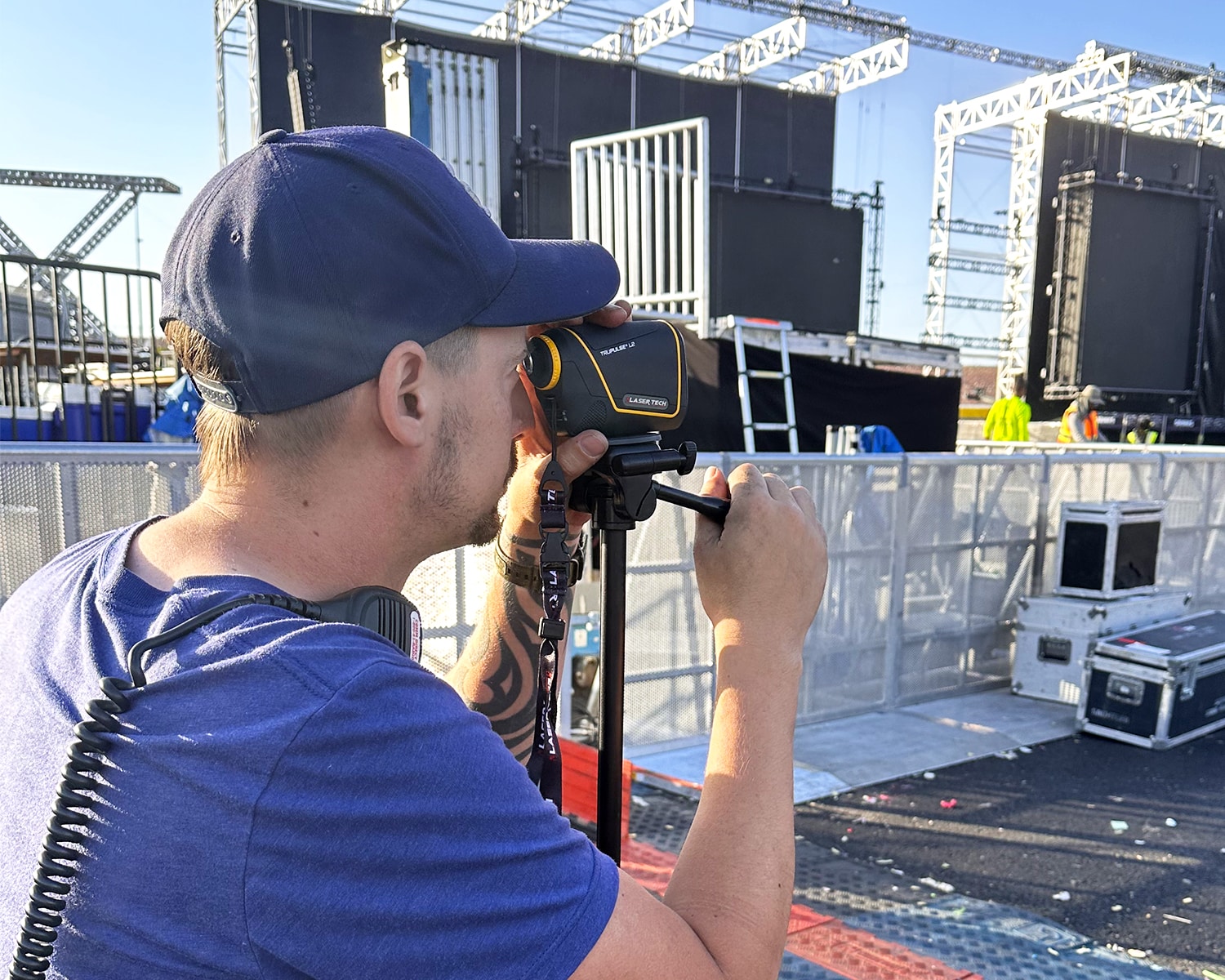
A. Zuber from Zipper Touring LLC describes how a TruPulse rangefinder is a critical time saver for audio engineers.| Laser Tech
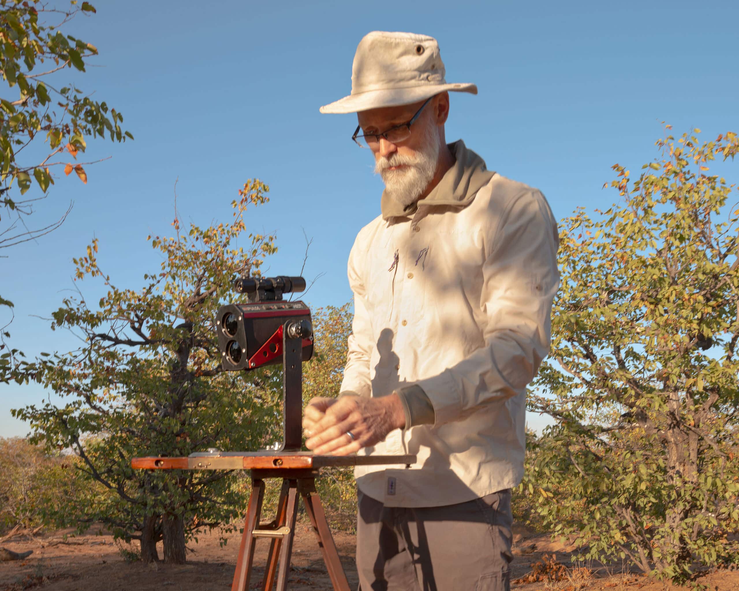
This University of Hawaiʻi at Mānoa Professor describes using rugged Impulse rangefinders for 20+ years of Archaeological Site Mapping.| Laser Tech
We designed the LaserSoft Connect app as a free solution that bridges TruPulse rangefinders and laser offset workflows with Esri’s ArcGIS Field Maps solution, for use with any GNSS receiver. The Distance Distance method is one of three laser offset methods available to users. While each comes with its own unique workflow and gear requirements,… The post Using Distance Distance Offset Method with LaserSoft® Connect™ appeared first on Laser Tech.| Laser Tech
