Thermal Infrared Sensor (TIRS) on Landsat - GIS Geography
Landsat's Thermal Infrared Sensor (TIRS) measures the Earth's surface temperature by focusing on the infrared part of the light spectrum.| GIS Geography
Landsat's Thermal Infrared Sensor (TIRS) measures the Earth's surface temperature by focusing on the infrared part of the light spectrum.| GIS Geography
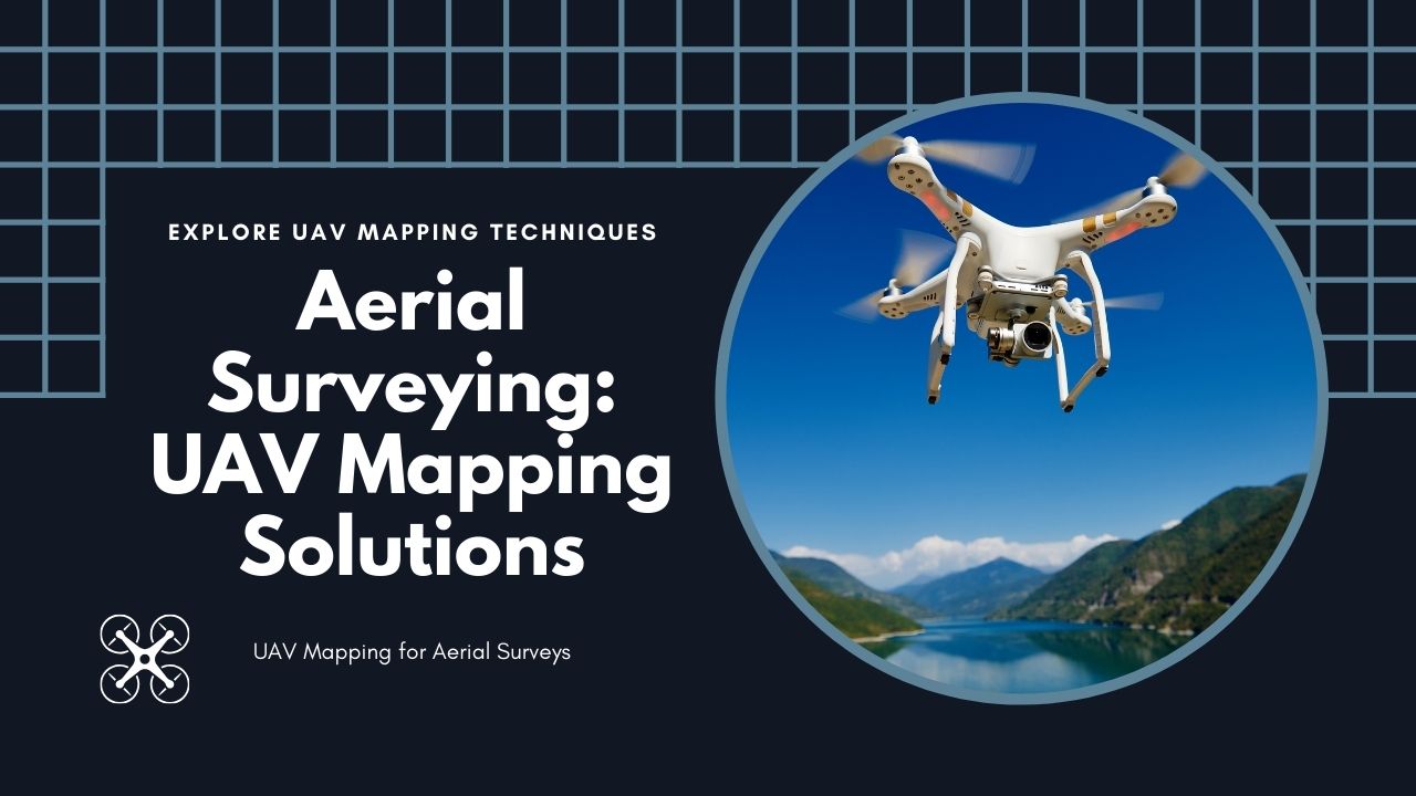
UAV mapping has changed how we do aerial surveying. With drones, we can now map areas quickly, accurately, and in a cost effective way.| GIS Geography
BIM, or Building Information Modeling, is a smart way to design buildings. It creates virtual 3D models about the its materials and systems. The post BIM – Building Information Modeling appeared first on GIS Geography.| GIS Geography
GNSS vs GPS: GNSS is an umbrella for multiple navigational satellites. Under this umbrella, GPS, along with other systems, finds its place. The post GNSS vs GPS: What’s the Difference? appeared first on GIS Geography.| GIS Geography
While traditional images are taken from directly above, oblique imagery captures them at an angle. Learn more about oblique images. The post What Is Oblique Imagery? appeared first on GIS Geography.| GIS Geography
GIS supports various ways to explore spatial relationships. Among these, fishnets stand out for their utility in spatial analysis. The post Fishnets in GIS: An Overview appeared first on GIS Geography.| GIS Geography
XTools Pro is a special add-on for ArcMap and ArcGIS Pro. It’s mostly a tool for GIS analysis. But it has a fair share of productivity tools. The post 7 Best Features of XTools Pro appeared first on GIS Geography.| GIS Geography
Some maps are timeless. While others, well, they have time in them. This list of 10 ways to show time in maps for temporal maps. The post Time in Maps: 10 Types of Temporal Maps appeared first on GIS Geography.| GIS Geography
In the 2024 U.S. presidential election, Donald Trump made a historic comeback to the White House by securing around 50% of the popular vote. The post US Election of 2024 Map appeared first on GIS Geography.| GIS Geography
Mapping overlays in GIS work like stacking different layers on top of each other. Each layer represents a different data type. The post Mapping Overlays in GIS appeared first on GIS Geography.| GIS Geography