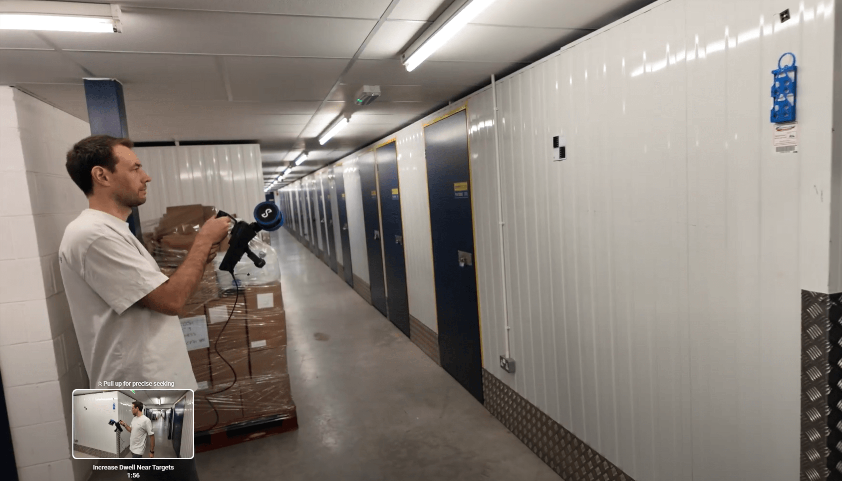
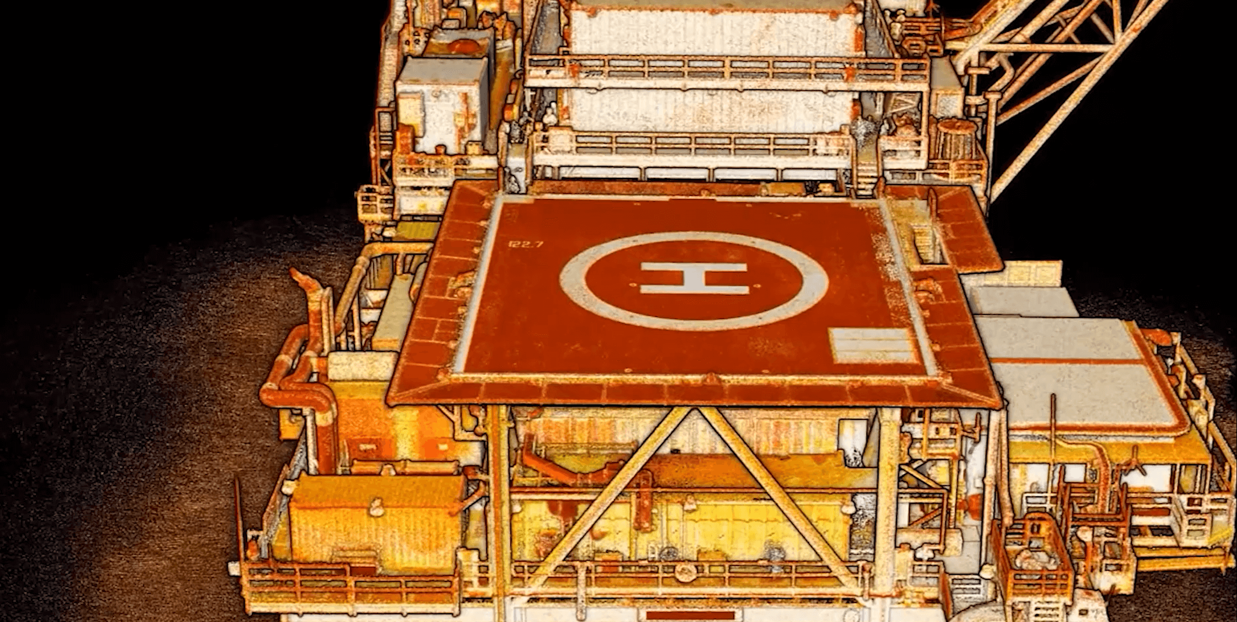
This dataset – from a Hovermap scan of a storage facility – demonstrates how user-selected targets were used in Aura 2.0 to georeference the scan and validate its real world accuracy.| Emesent
Join Emesent and Mangoesmapping for an online session showcasing how RTK-enabled LiDAR and GNSS are transforming infrastructure and construction projects. We’ll highlight how Australian teams are adopting Emesent Hovermap systems with Emlid GNSS receivers to capture accurate data, streamline workflows, and reduce project costs. The post Smarter Field Accuracy: Emesent Hovermap + Emlid GNSS with Mangoesmapping appeared first on Emesent.| Emesent
News release: Emesent's proactive new recovery service provides rapid replacements for damaged Hovermap units and drones, ensuring maximum productivity for critical missions| Emesent
Emesent's Senior Product Manager Greg Davis shares how Aura 2.0 is unlocking hours of additional productivity with its latest enhancements. The post Aura 2.0 – More flexibility, increased confidence appeared first on Emesent.| Emesent
With concurrent user licensing, user-selected targets, and enhanced accuracy validation, Aura 2.0 transforms how Emesent Hovermap users process their LiDAR data.| Emesent
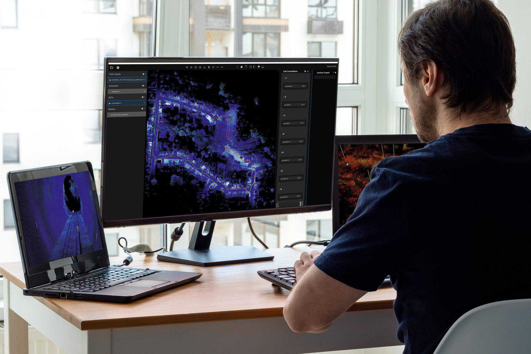
The shift to concurrent Aura licensing is a big step forward in flexibility and collaboration. Where physical dongles have previously constrained users sharing licenses by access to the dongle, you can now share licenses across teams in multiple locations and on different computers.| Emesent
Hovermap users BIM Manufacture share 3 real-world projects showcasing the speed, flexibility, and accuracy of Emesent Hovermap and hybrid scanning techniques. The post From Hospital to Forest: Unlocking deeper insights through faster reality capture appeared first on Emesent.| Emesent
Emesent’s Director of Product, Christian Skinner, outlines how the recent upgrade to Emesent Hovermap’s autonomous capabilities delivers better outcomes for underground mining operators, helping reduce risk while providing more actionable data. The post Transforming Underground Surveying: Fully Autonomous Stope Mapping appeared first on Emesent.| Emesent
AirborneLogic presents case studies on how they use the Emesent Hovermap ST-X to accurately measure trees, carbon and biodiversity in an effort to quantify natural capital and help regenerate our environment. The post Nature’s Point Clouds – Outdoor adventures with Emesent Hovermap appeared first on Emesent.| Emesent
Russian-language webinar: Meet Micromine, a mining software company that provides Hovermap-integrated solutions for the exploration, modeling, design, and operation of mining projects and highlights the value of LiDAR integration for underground surveying. The post Интеграция системы Hovermap LiDAR с Micromine: от импорта облака точек до каркасного анализа appeared first on Emesent.| Emesent
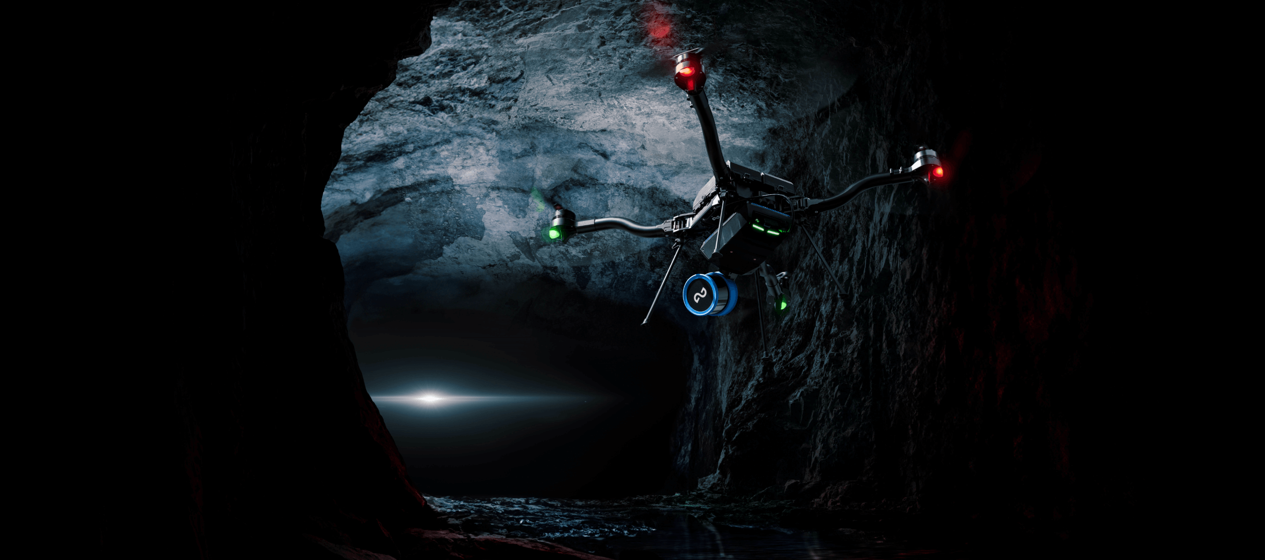
The Hovermap LiDAR scanner by Emesent offers a versatile range of drone, robot, vehicle, and handheld operated mapping and inspection solutions for various industries.| Emesent