Fieldwork on Volcán de Fuego - British Geological Survey
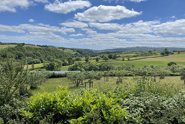
Understanding how one of the world’s most active volcanoes builds up material, and how they collapse to feed hot flows| British Geological Survey
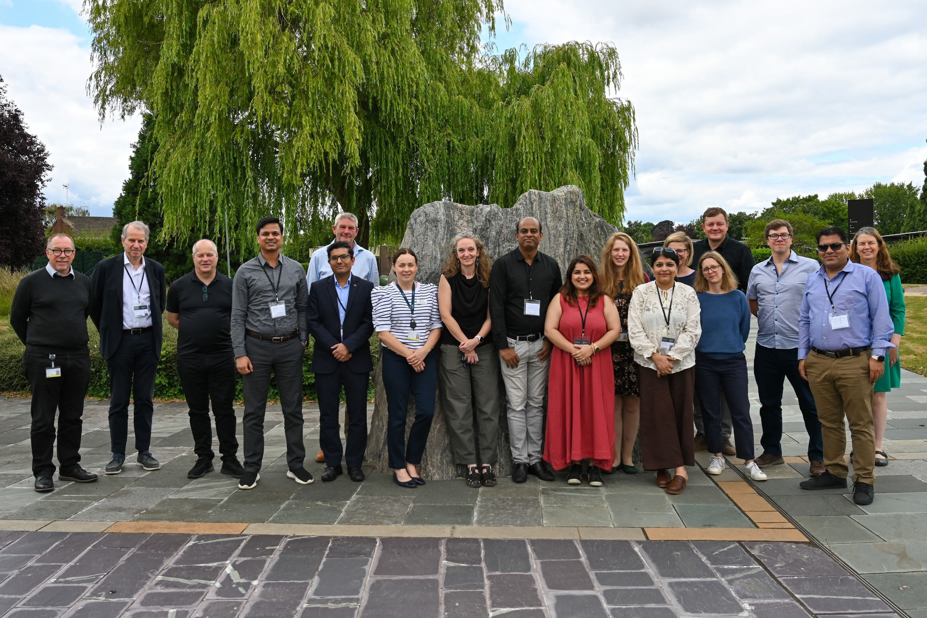
The AGEO project enjoyed a double success at the RegioStars awards, hosted at the European Commission in Brussels. The post GSNI project wins multiple awards at RegioStars event appeared first on British Geological Survey.| British Geological Survey
Understanding how one of the world’s most active volcanoes builds up material, and how they collapse to feed hot flows| British Geological Survey
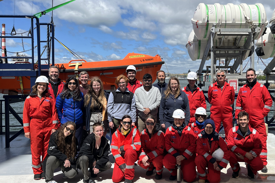
BGS scientists join latest IODP research project investigating freshened water under the ocean floor| British Geological Survey
39 results for "marine geoscience"| British Geological Survey
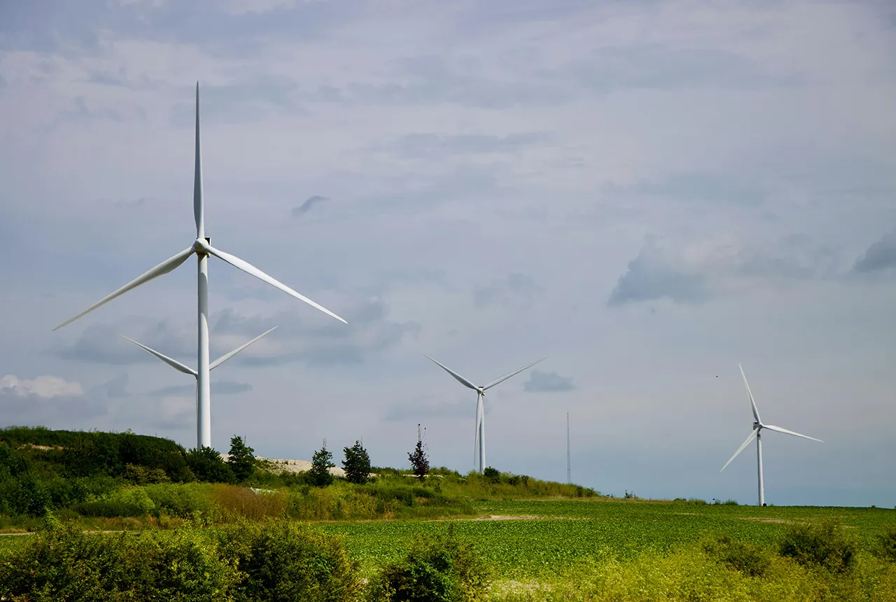
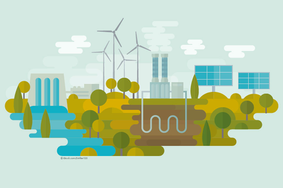
7 results for "hydrogen storage"| British Geological Survey
The UK Critical Minerals Intelligence Centre has produced a scoping report that examines the aims of the UK with regards to developing a hydrogen economy, the sustainability of these targets, given current metal loadings, and provides some suggestions for overcoming potential challenges that the UK may face in securing raw materials to support this ambition.| British Geological Survey
BGS has released significantly extended high-resolution maps that will support offshore green-energy initiatives in the area. The post Extended seabed geology map of the Bristol Channel published appeared first on British Geological Survey.| British Geological Survey
Dr Lamb will take up the position of honorary professor of environmental geochemistry, with a focus on collaborative research. The post Dr Angela Lamb appointed as honorary professor by the University of Nottingham appeared first on British Geological Survey.| British Geological Survey
A new White Paper, co-developed by Indonesian and UK hazard experts, presents a strategic roadmap to significantly reduce the impacts of geological hazards in Indonesia. The post New report sets pathway to reduce the impacts of geohazards in one of the world’s most hazard-prone nations appeared first on British Geological Survey.| British Geological Survey
A new approach that combines AI and satellite data has been used by scientists to detect actively moving landslides at a national scale. The post Artificial intelligence helps scientists identify 3000 moving slopes potentially at risk of landslide appeared first on British Geological Survey.| British Geological Survey
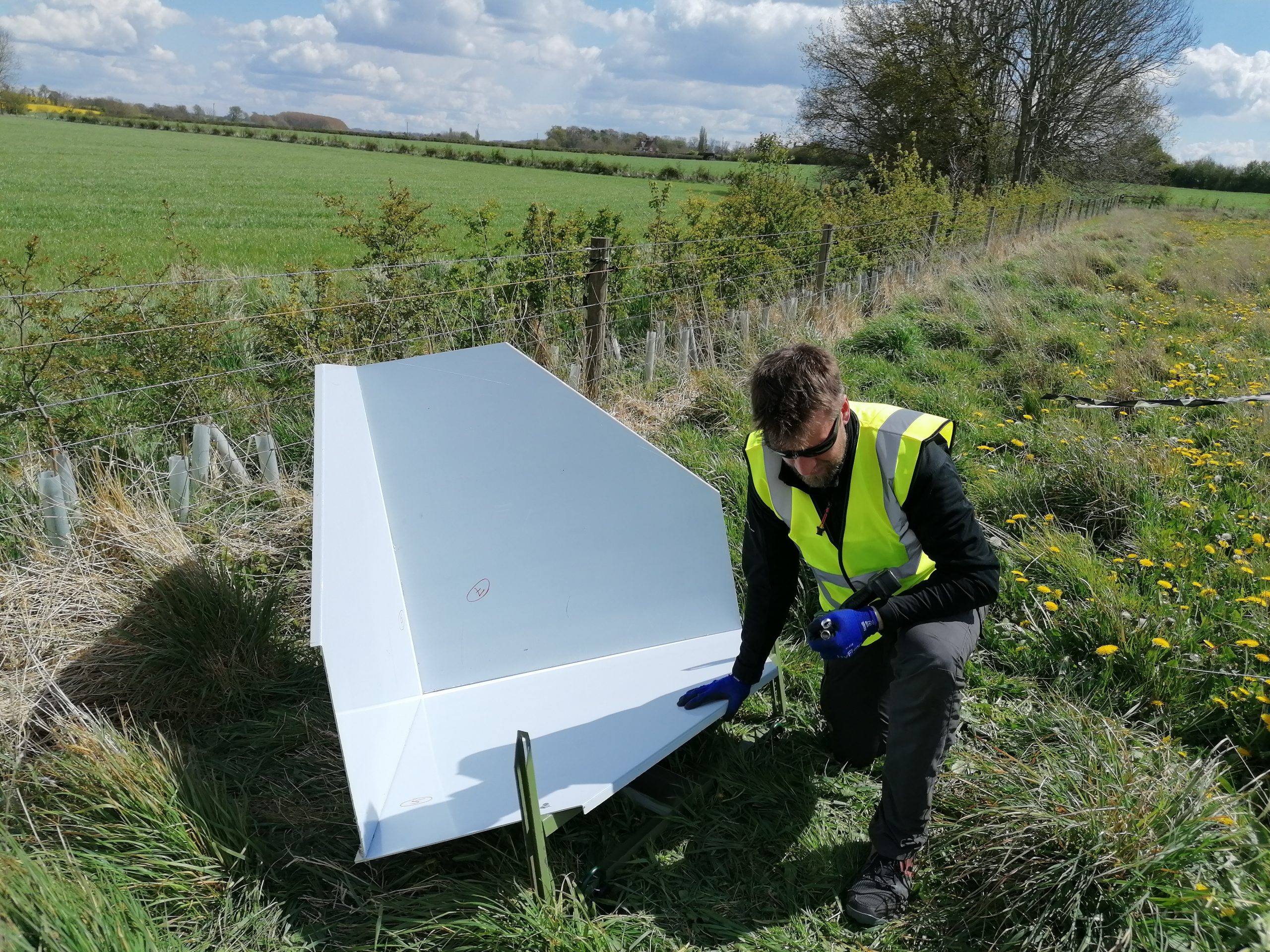
New sensors being installed across the UK are helping us understand the effects that extreme magnetic storms have on technology and national infrastructure. The post UK scientists in awe-rora as national coverage of magnetic field complete for the first time appeared first on British Geological Survey.| British Geological Survey
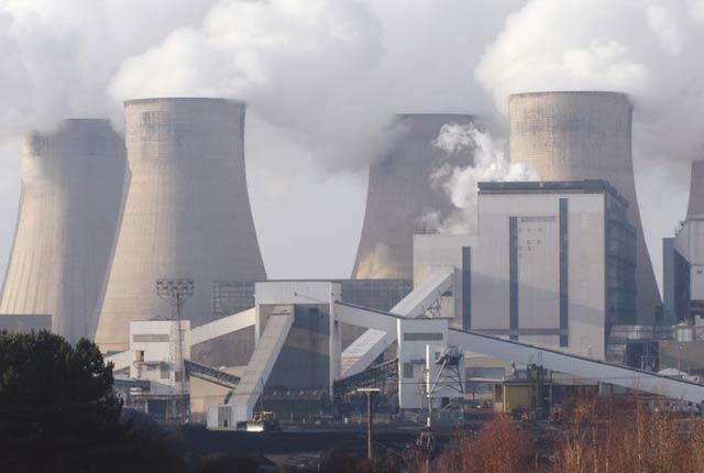
A new study has been awarded funding to explore the potential for underground hydrogen storage near the Knapton power plant.| British Geological Survey
19 results for "open data"| British Geological Survey
4 results for "ngdc"| British Geological Survey

The premium map-viewing application has been given a major upgrade and made available as a beta release.| British Geological Survey
12 results for "earth observation"| British Geological Survey

Holly Hourston is an Earth observation scientist in the Geodesy and Remote Sensing group within the Multi-hazards and Resilience challenge area. Her early academic career varied across modelling future gravitational wave observations using Bayesian inference, to studying the organic chemistry of meteorites through techniques including GC-MS and X-ray CT. In her role at BGS, she analyses Interferometric Synthetic Aperture Radar (InSAR) data to study ground deformations due to various geologica...| British Geological Survey
Geoscientists have developed a practical framework for assessing the degree of ’readiness’ of a prospective carbon dioxide storage site.| British Geological Survey
The latest news on the status of geological storage of carbon dioxide in Europe is outlined in a comprehensive new report from CO2GeoNet.| British Geological Survey
New report underlines importance of community engagement in achieving the UK national climate change targets.| British Geological Survey

High resolution viewing of images of almost all small and medium scale geological maps produced by BGS since mapping started in 1832.| British Geological Survey
New research shows that modern pesticides used in agriculture and veterinary medicines have been found for the first time in English rivers.| British Geological Survey
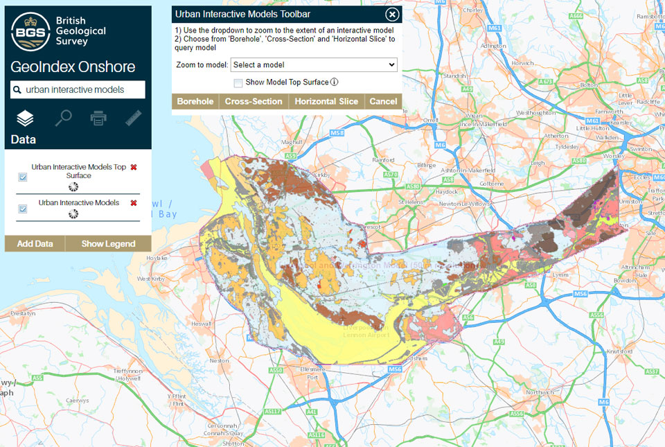
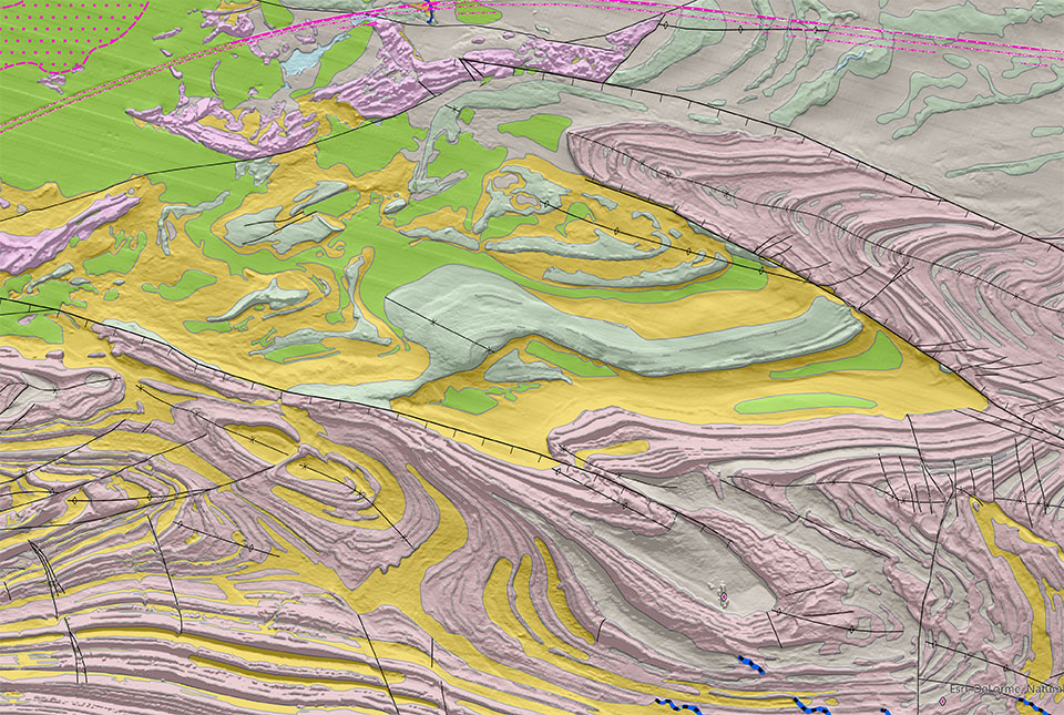
The geological secrets lying under the surface of Liverpool and Warrington have been unveiled for the first time on a new 3D interactive tool.| British Geological Survey
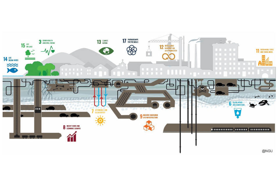
European policy is clear in its ambition to deliver a sustainable urban future for Europe.| British Geological Survey
17 results for "digital geoscience"| British Geological Survey
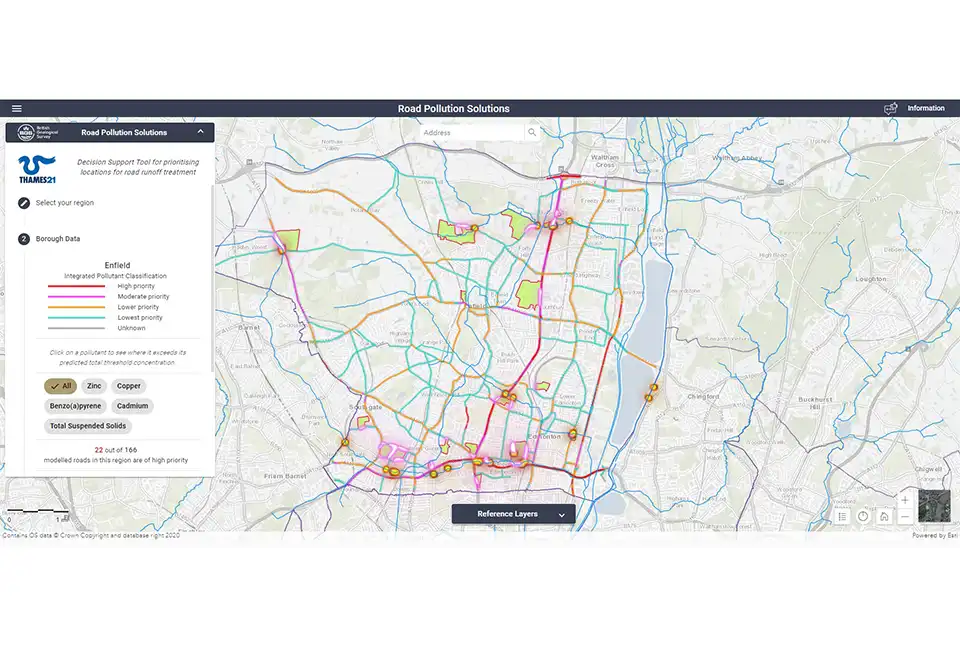
The new Road Pollution Solutions tool predicts pollution levels from road runoff and suggests nature-based solutions to combat it.| British Geological Survey
BGS is seeking user feedback on artificial ground data – how you use it, what information do you consider, and what we can do to improve our services.| British Geological Survey
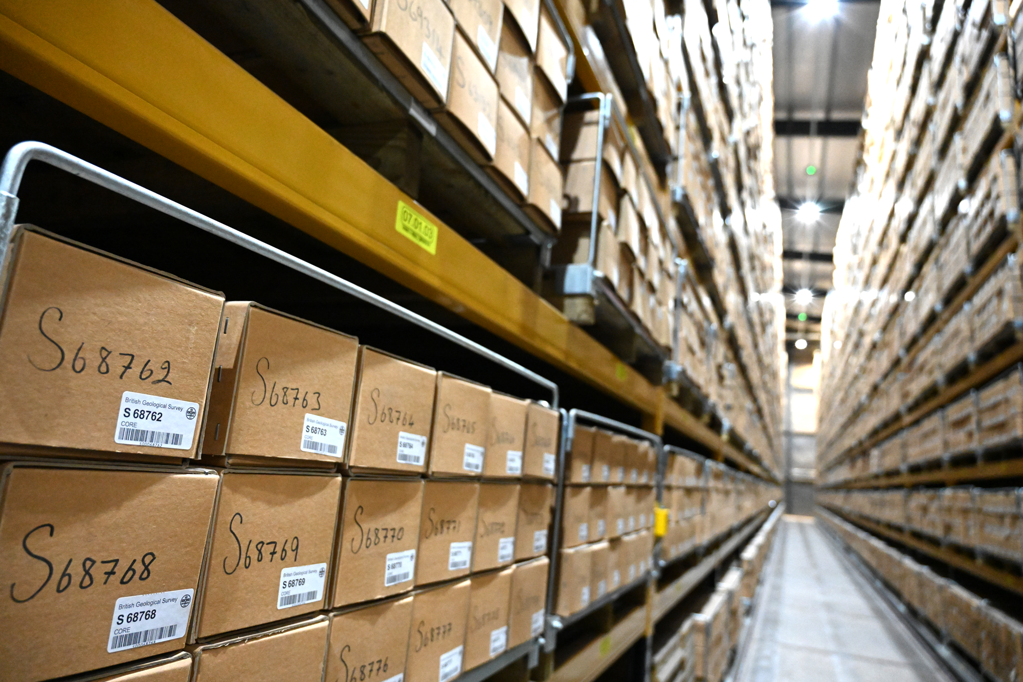
With space at a premium and the advance of new digitisation techniques, why does retaining over 600 km of physical specimens remain of national importance?| British Geological Survey
Reports from over 260 mineral exploration projects are now freely available on BGS’s GeoIndex.| British Geological Survey
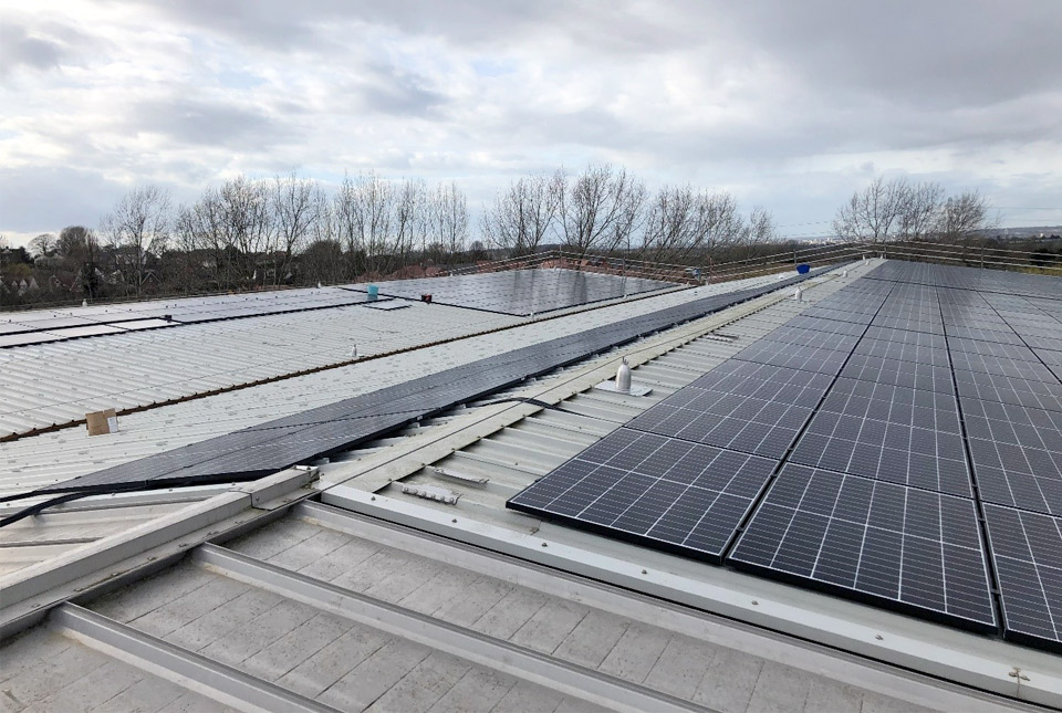
A large new solar panel array on the roof of the BGS Core Store is expected to result in a significant reduction in our carbon footprint.| British Geological Survey
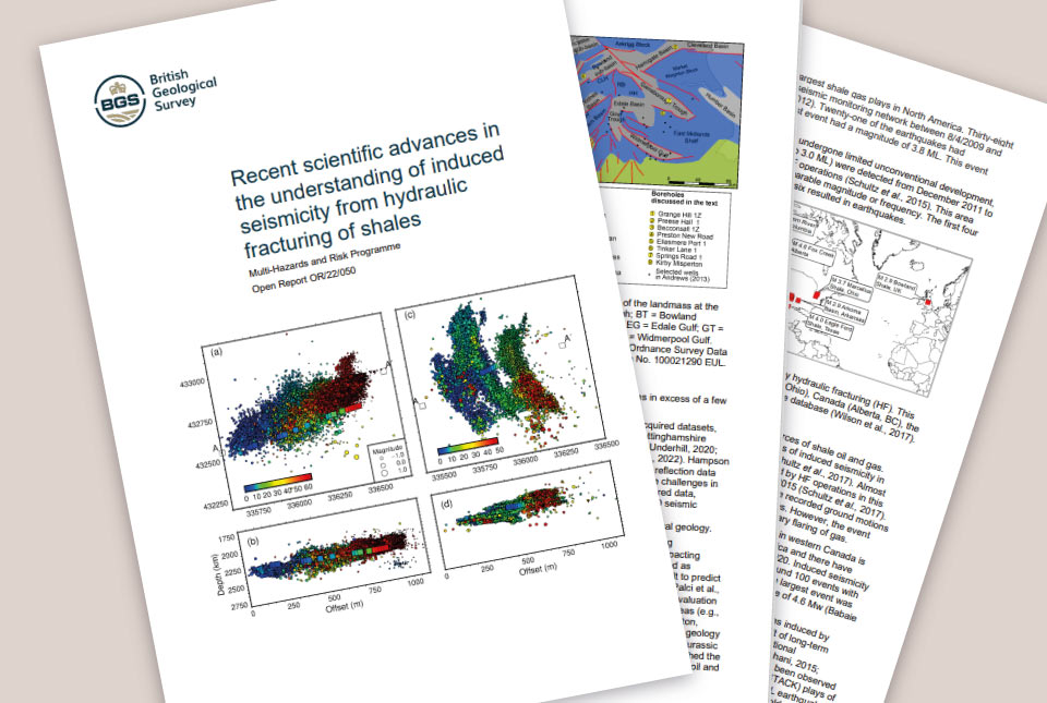
BGS was requested by the UK Government to address six questions related to recent scientific research on the hazard and risk from induced seismicity during hydraulic fracturing of shale rocks.| British Geological Survey
A new tool is now available which has been designed for coastal engineers and practitioners to better manage the compound risk of coastal erosion and flooding.| British Geological Survey
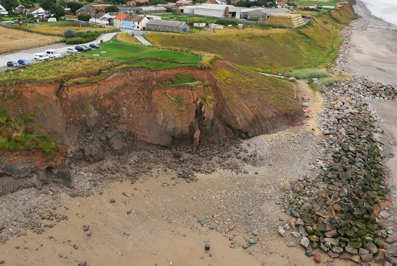
A new tool is now available which has been designed for coastal engineers and practitioners to better manage the compound risk of coastal erosion and flooding.| British Geological Survey
Scientists have uncovered clear signs of the impact environmental pollution is having across the country’s soil.| British Geological Survey
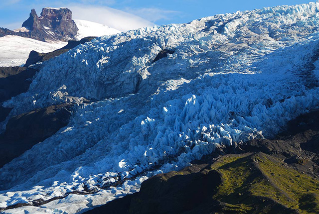
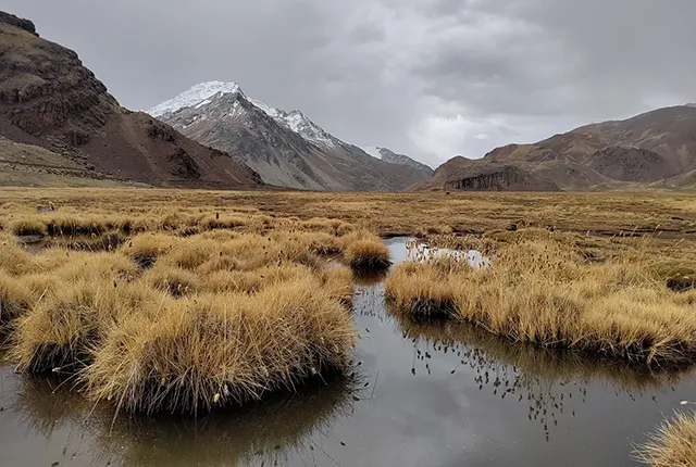
Glacier ice and permafrost have important implications for global water security and energy infrastructure| British Geological Survey
The British Geological Survey is part of a three-month research project to begin in August, that will help to test the capability and validate the safety of carbon capture and storage applications.| British Geological Survey
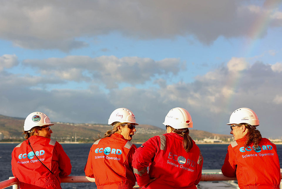
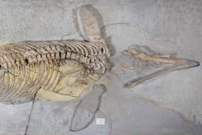
BGS scientists are taking part in an expedition off Hawai'i to investigate sea-level changes recorded by ancient coral reefs.| British Geological Survey
As a BGS-hosted Lancaster University PhD student, Elizabeth Flint has been working to understand the effects of water supply processes upon macronutrient cycling.| British Geological Survey
25 results for "africa"| British Geological Survey

Marine ecosystem science and offshore infrastructure will be boosted by a new dataset showing sediment composition across the UK continental shelf.| British Geological Survey
20 years of evidence from earthquake monitoring proves the Britpop legends are the most ‘ground shaking’ musical act to perform at Murrayfield Stadium| British Geological Survey
From tsunamis to sinkholes, the profiles provide a standardised, internationally agreed definition of hazards to support disaster risk management worldwide.| British Geological Survey
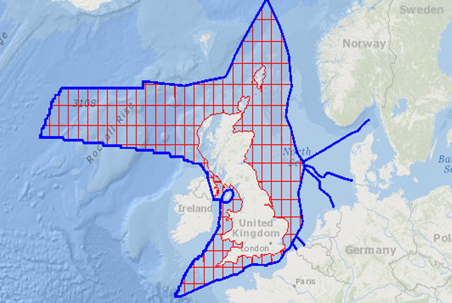
The offshore GeoIndex shows the range of marine geoscience data held by the BGS within the National Geoscience Data Centre (NGDC).| British Geological Survey
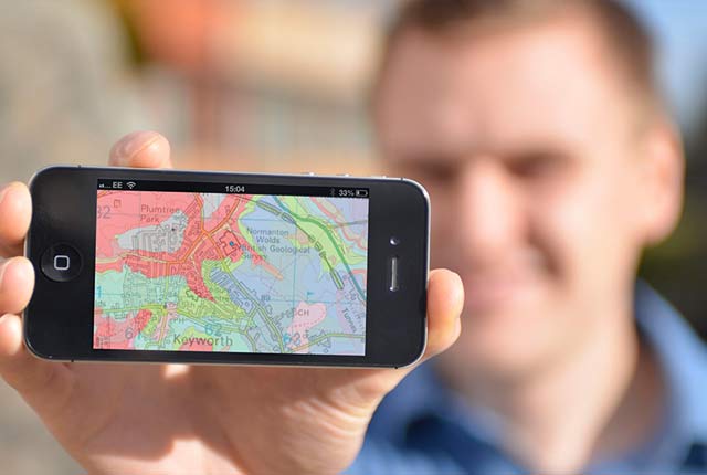
Accessing maps and downloading data, scans, photos and other information via BGS's free OpenGeoscience service.| British Geological Survey
The BGS palaeontology and biostratigraphy collections are split between Keyworth and Edinburgh. Most of the type, figured and cited material is stored centrally at Keyworth.| British Geological Survey
Engineering geologists have an essential role to play in meeting the UN's Sustainable Development Goals (SDGs).| British Geological Survey
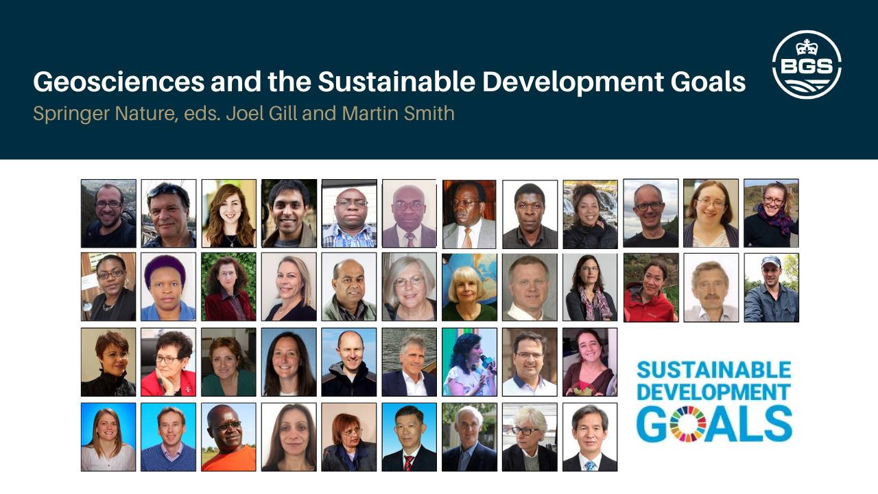
The role of geoscience in achieving the UN Sustainable Development Goals is the subject of a new book edited by staff at the British Geological Survey (BGS) and Geology for Global Development (GfGD), a charity which aims to promote the role of geology in sustainable development.| British Geological Survey
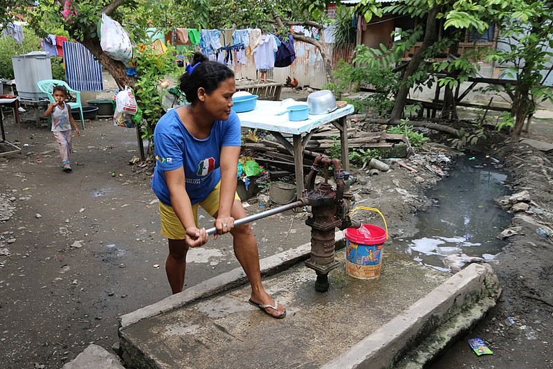
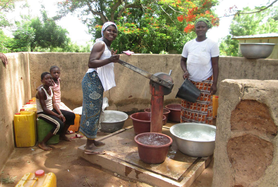
Water supplies in parts of the Philippines are frequently scarce and supplies are often shut down. Intermittent water supply in parts of the country presents serious consequences to health.| British Geological Survey
Why the United Nations 2023 Water Conference needs to know more about groundwater.| British Geological Survey
The main aim of our Partnerships for Development work is to support our partner countries in developing sustainable extractives sectors.| British Geological Survey
17 results for "soil"| British Geological Survey
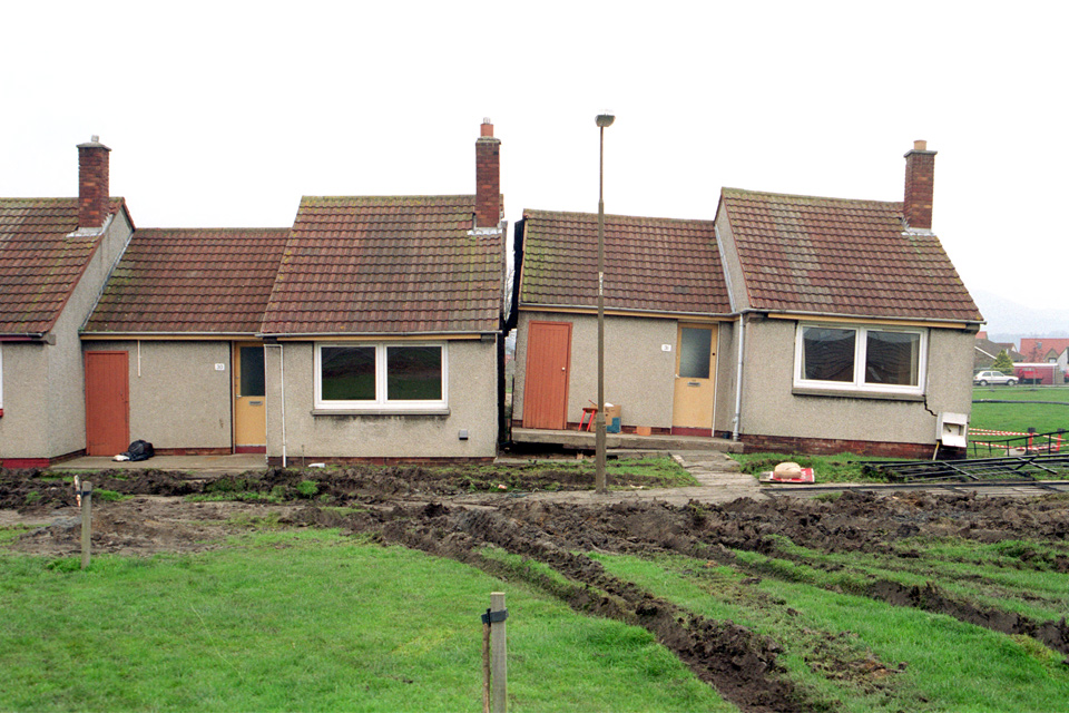
9 results for "shrink-swell"| British Geological Survey
25 results for "resilience"| British Geological Survey
6 results for "agriculture"| British Geological Survey
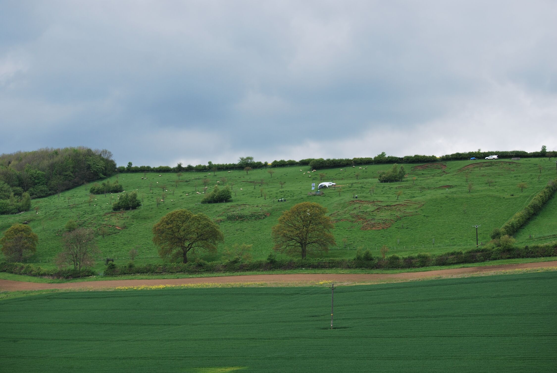
A new study aims to determine lead isotope ratios in soil and rock across Great Britain which could inform future archaeological studies about human and animal origins.| British Geological Survey
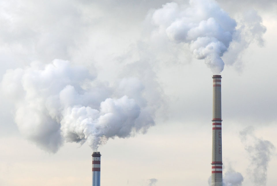
Carbon sequestration is one method of reducing the amount of carbon dioxide in the atmosphere, by capturing and storing it, contributing to climate change reduction.| British Geological Survey
BGS’s new tool highlights the development of wind energy installations over time, along with their magnet and rare earth content.| British Geological Survey
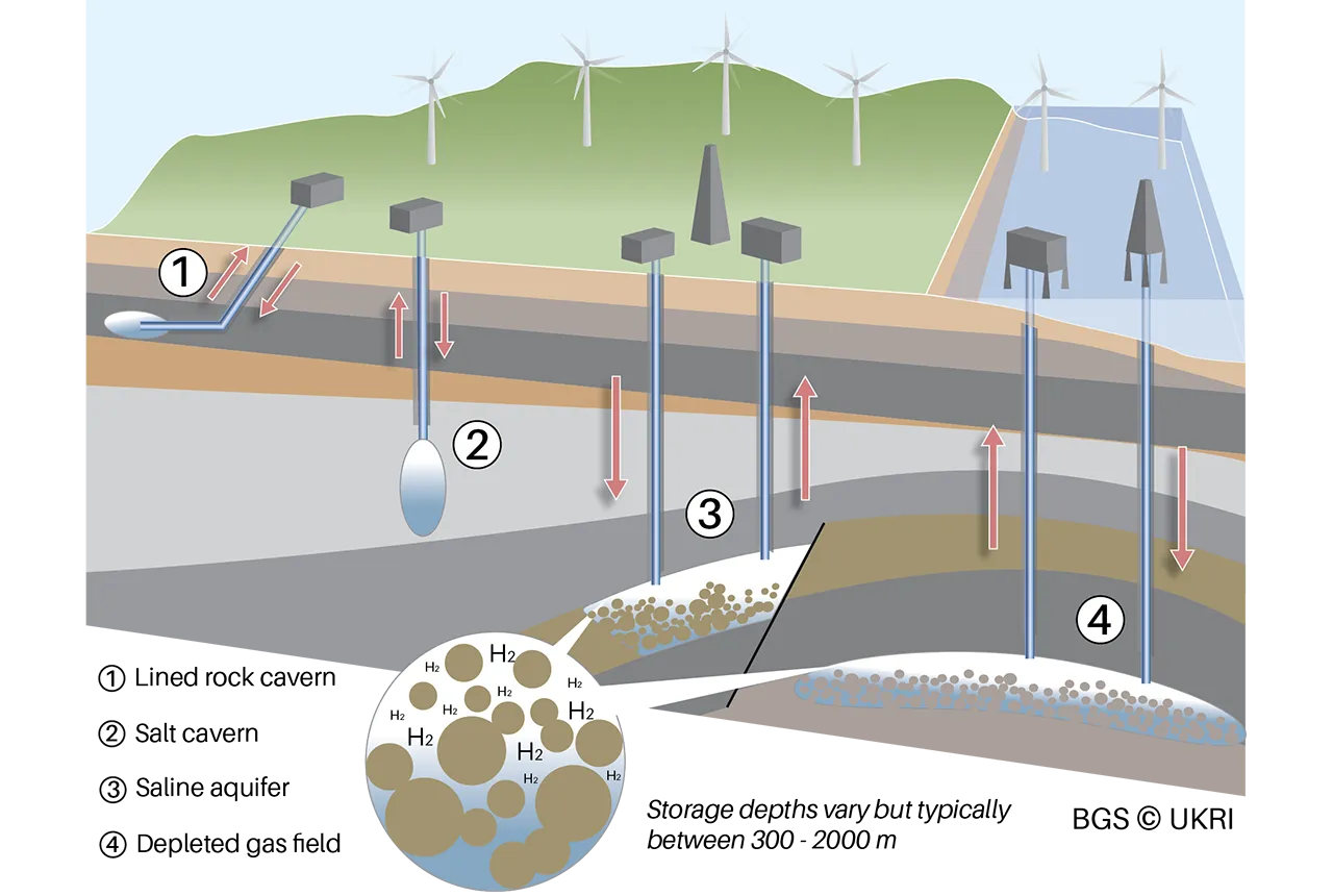
A new BGS science briefing note focuses on the potential of hydrogen storage to support the UK energy transition.| British Geological Survey
22 results for "uk geoenergy observatories"| British Geological Survey
50 results for "net zero"| British Geological Survey
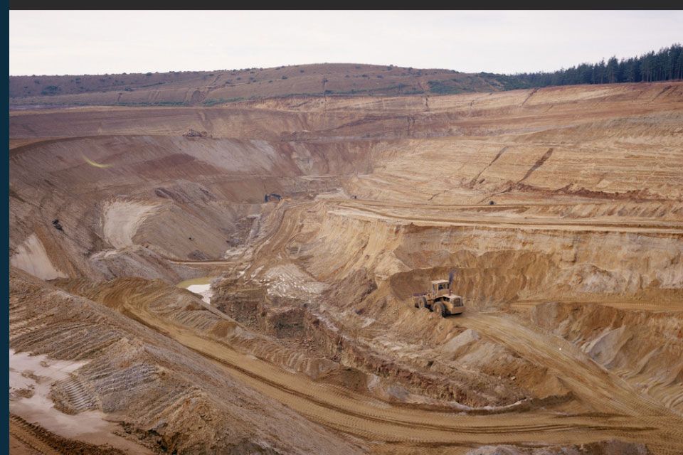
The newest release of BGS BritPits provides information on an additional 6500 surface and underground mineral workings.| British Geological Survey
BGS is seeking user feedback on artificial ground data – how you use it, what information do you consider, and what we can do to improve our services.| British Geological Survey
Geology doesn’t stop at international borders, so BGS is working with neighbouring geological surveys and research institutes to solve common problems with the geology they share.| British Geological Survey
9 results for "tsunamis"| British Geological Survey
BGS is inviting interested parties to investigate how site-scale geological data can be used to optimise storage scheme performance.| British Geological Survey

More than 70 mineral commodities have been captured in the newly published volume of World Mineral Production.| British Geological Survey

20 years of evidence from earthquake monitoring proves the Britpop legends are the most ‘ground shaking’ musical act to perform at Murrayfield Stadium| British Geological Survey

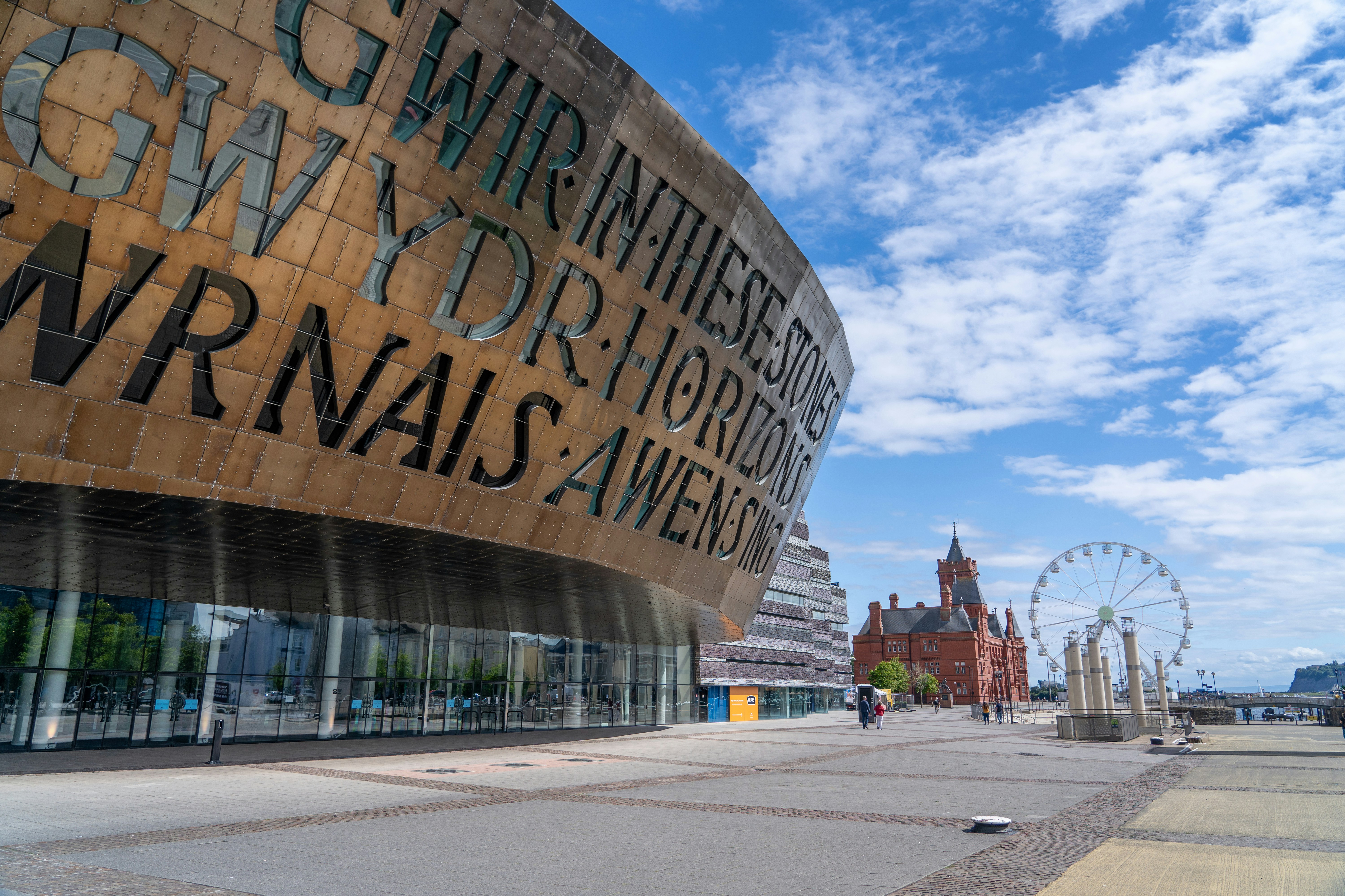
BGS geologist, Luis Albornoz-Parra, discusses the iconic Edinburgh monument, the building stones used in its construction and the result (so far) of its conservation efforts.| British Geological Survey
Megan Trusler gives an overview of her PhD project, which studies the role salt marshes play in the accumulation and transport of microplastics.| British Geological Survey
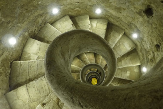
Tim Kearsey reports on his underground excursion around Rome.| British Geological Survey
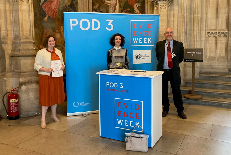
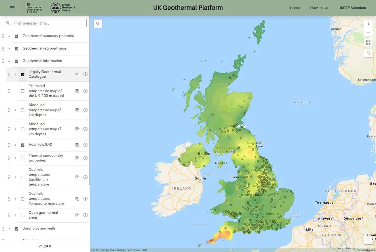
Representatives from BGS took part in Evidence Week 2021 to talk to parliamentarians about unlocking the potential of geothermal energy in the UK.| British Geological Survey
Dr Abesser will be supporting BGS staff in the translation of their science outputs to inform policy and regulation as well as advising senior management on policy-related issues.| British Geological Survey
BGS was requested by the UK Government to address six questions related to recent scientific research on the hazard and risk from induced seismicity during hydraulic fracturing of shale rocks.| British Geological Survey
Work experience student Patrick visited BGS to learn more about being a professional rock lover.| British Geological Survey
12 results for "renewable energy"| British Geological Survey
6 results for "core store"| British Geological Survey
6 results for "core scanning facility"| British Geological Survey
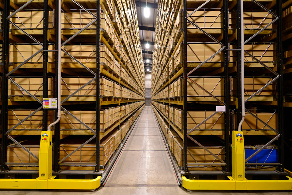
A new economic valuation report has brought into focus the scale of the National Geological Repository’s impact on the UK economy.| British Geological Survey
A data sharing partnership has been agreed between BGS and Ossian, to advance its knowledge of the rock and soil conditions under the seabed.| British Geological Survey
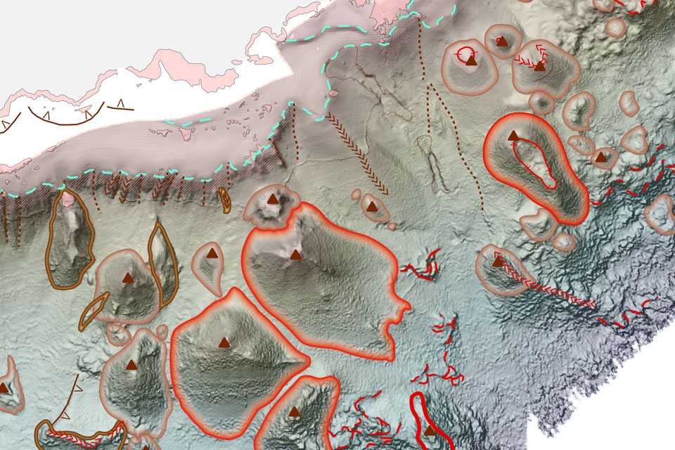
BGS deliver the first marine geology and habitat maps for one of the World’s largest marine protected areas.| British Geological Survey
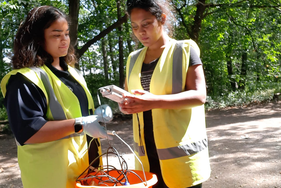
PhD student Archita Bhattacharyya is undertaking a project focused on exploring the ecosystem of microorganisms in groundwater of England.| British Geological Survey
From sinkholes to radon: new maps highlight Britain's most geologically at-risk regions| British Geological Survey
20 years of evidence from earthquake monitoring proves the Britpop legends are the most ‘ground shaking’ musical act to perform at Murrayfield Stadium| British Geological Survey
21 results for "science facilities"| British Geological Survey
7 results for "engineering and geotechnical capability"| British Geological Survey

20 years of evidence from earthquake monitoring proves the Britpop legends are the most ‘ground shaking’ musical act to perform at Murrayfield Stadium| British Geological Survey

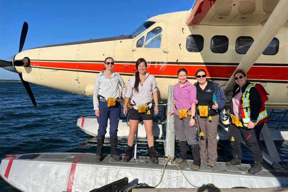
For the first time scientists managed to take water and sediment samples from beneath the ocean on the New England Shelf with the intention of understanding this offshore aquifer system.| British Geological Survey
6 results for "caves and karst"| British Geological Survey
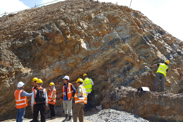
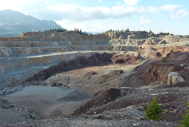
BGS is part of a groundbreaking science partnership aiming to improve critical minerals mining and supply chains.| British Geological Survey
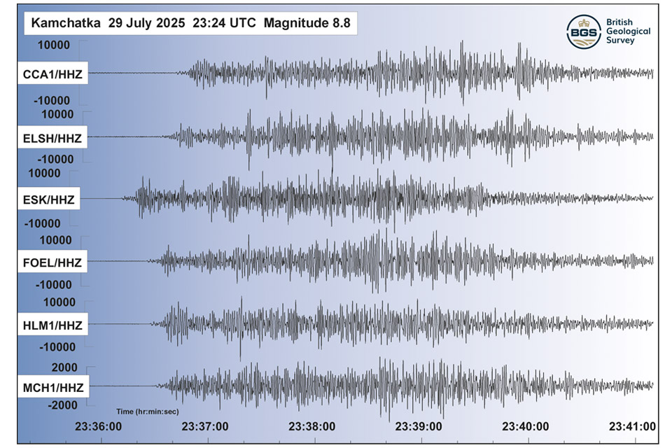
The response to the 8.8 magnitude earthquake in Russia has emphasised how far scientific understanding of tsunamis has come over the last two decades, and the improved mitigation measures that are now in place| British Geological Survey
BGS is part of a groundbreaking science partnership aiming to improve critical minerals mining and supply chains.| British Geological Survey
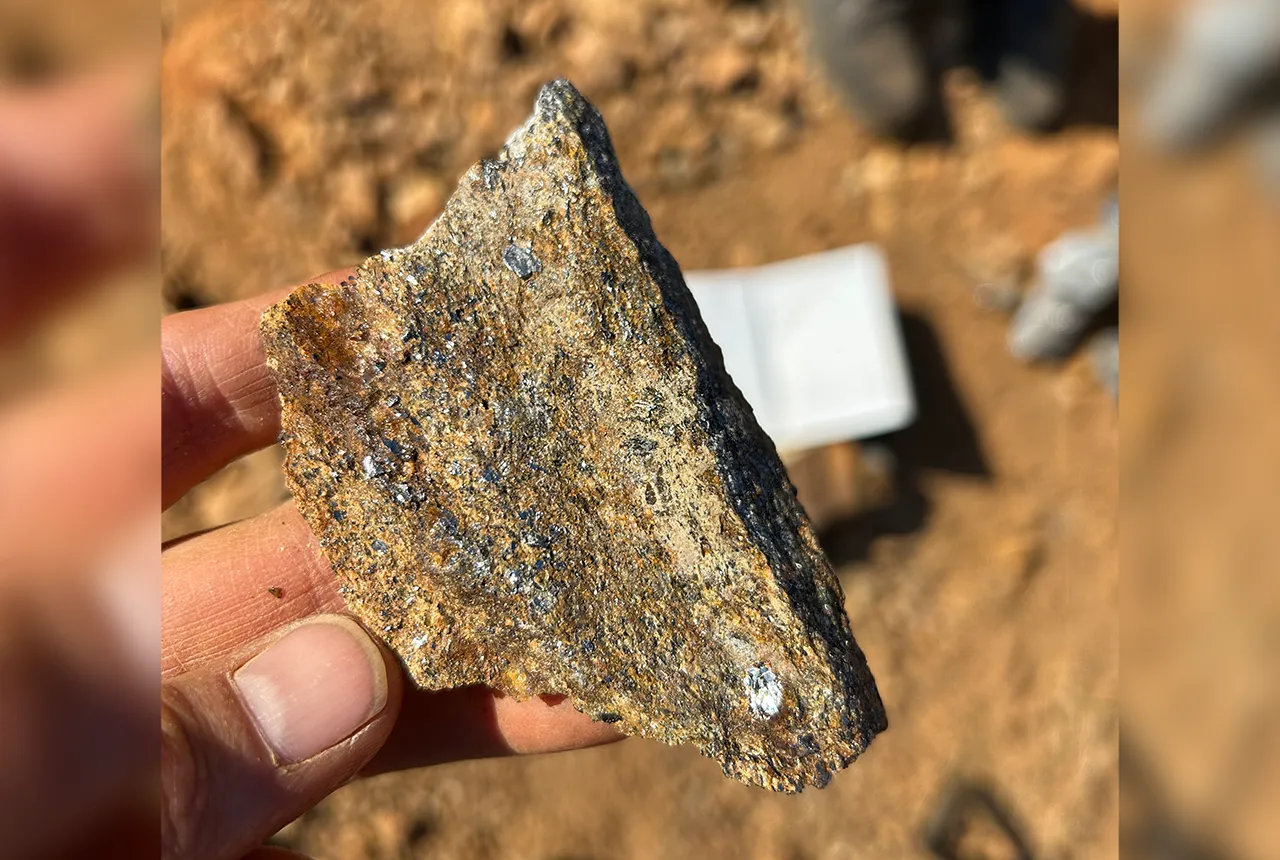
BGS is part of a groundbreaking science partnership aiming to improve critical minerals mining and supply chains.| British Geological Survey
Research | British Geological Survey
Statistical information about minerals and metals in Europe by country and commodity.| MineralsUK
50 results for "critical raw materials"| British Geological Survey
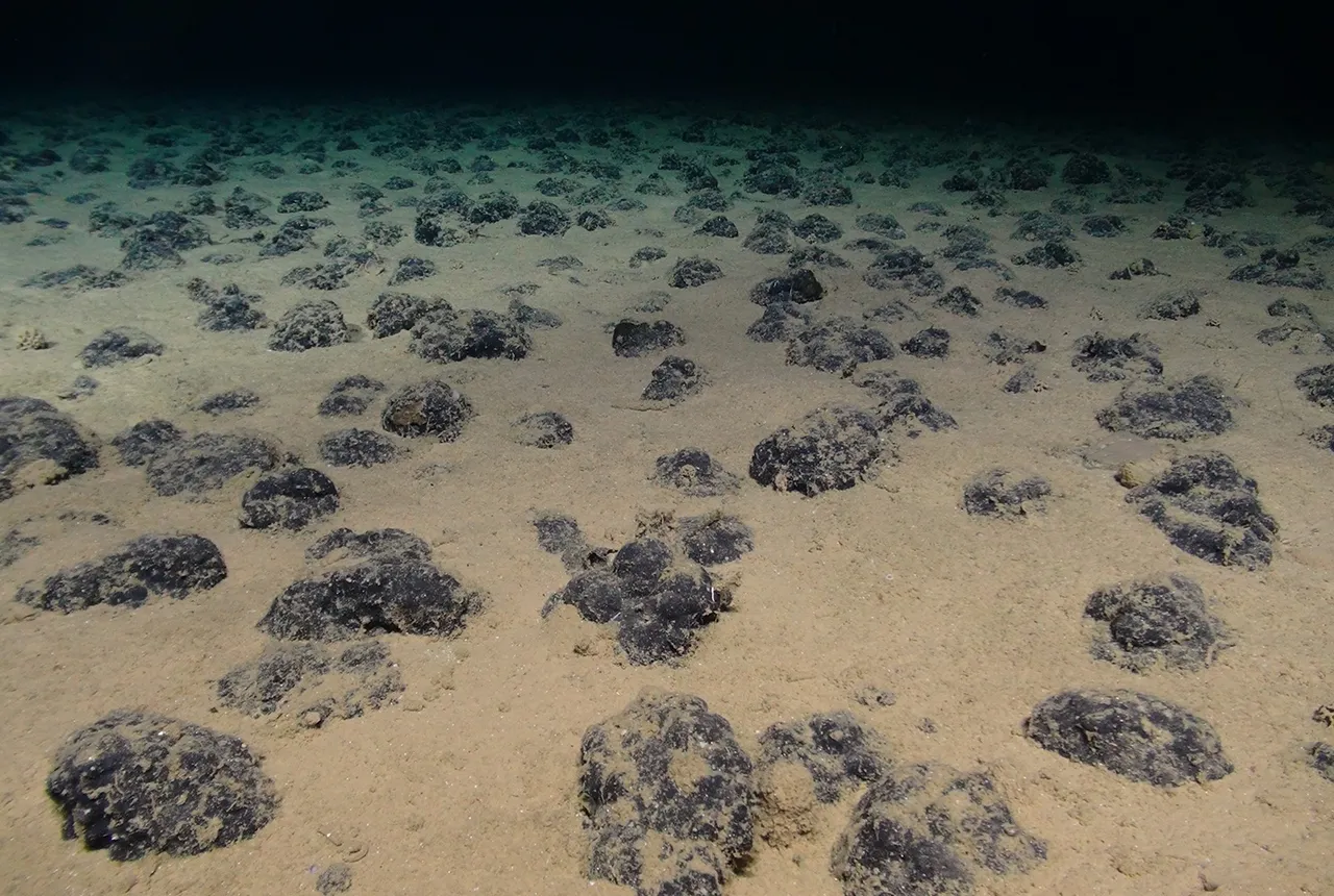
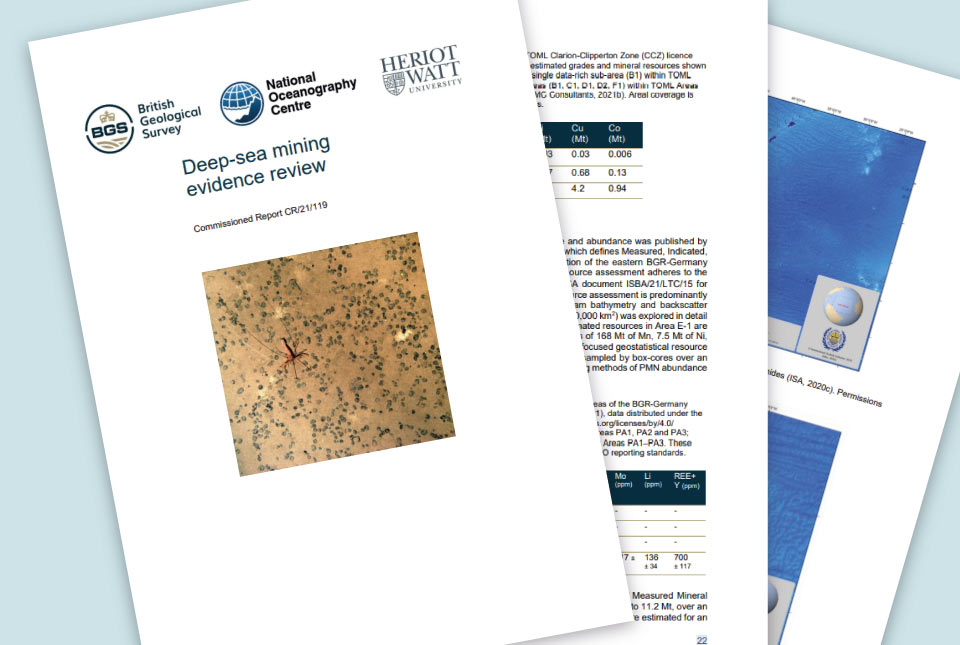
BGS geologists were involved in new study revealing the long-term effects of seabed mining tracks, 44 years after deep-sea trials in the Pacific Ocean.| British Geological Survey
BGS is part of a groundbreaking science partnership aiming to improve critical minerals mining and supply chains.| British Geological Survey