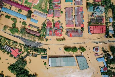
Human Health Monitoring
| ArcGIS StoryMaps
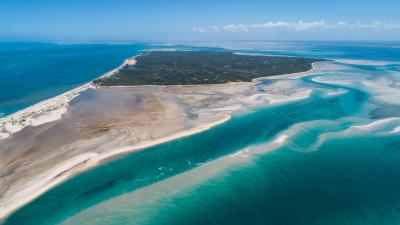
Mission Blue has declared the Inhambane Seascape a Hope Spot in recognition of the spatial planning work being done in the area to develop a network of marine protected areas in the surrounding waters. Releasing first leopard shark © Janneman ConradieMission Blue acknowledges Marine Megafauna Foundation and their partners’ work assisting the government of Mozambique as they strive to meet the UN Convention on Biological Diversity to formally protect 10% of its territorial waters by 2024, w...| ArcGIS StoryMaps
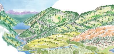
Climate change is rapidly accelerating the impacts of living in a fire-prone ecosystem. We’ve come to understand how connected we all are – how a fire in Grand County can impact water supplies on the Front Range, or how a fire that starts in the upper St. Vrain Watershed can impact the City of Longmont. What we can do is prepare our communities and landscapes to be resilient to wildfire.Look familiar? A legacy of fire suppression and logging, longer fire seasons, more frequent warm period...| ArcGIS StoryMaps
A Global Perspective: Voluntary Local Reviews & the UN SDGs| ArcGIS StoryMaps

Restoring tidal marsh habitat and enhancing marsh resilience in the face of sea level rise| ArcGIS StoryMaps

Help TRCA's Monitoring Team find migrating Salmon in regional streams and rivers!| ArcGIS StoryMaps

Harness the power of maps to tell stories that matter. ArcGIS StoryMaps has everything you need to create remarkable stories that give your maps meaning.| ArcGIS StoryMaps
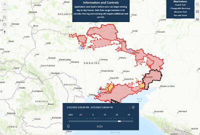
This interactive map complements static control-of-terrain maps that ISW produces by showing a dynamic frontline.| ArcGIS StoryMaps

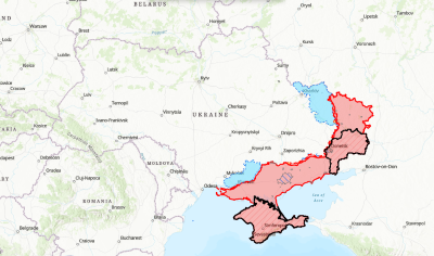
This interactive time-lapse complements static control-of-terrain maps that ISW produces by showing a dynamic frontline.| ArcGIS StoryMaps
This interactive map complements the static control-of-terrain maps that ISW daily produces with high-fidelity.| ArcGIS StoryMaps
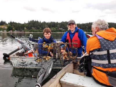
Developing new methods for recovering lost crab pots with a remotely operated vehicle and community partnerships.| ArcGIS StoryMaps