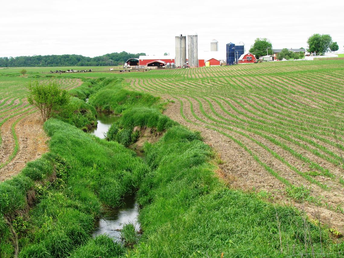
In the Corn Belt states of the Midwestern U.S., intensive row-cropping surrounds small streams, effectively eliminating riparian cover and habitat. Agricultural activities can have profound effects on the chemical and physical characteristics of small streams. In 2013, the USGS Regional Stream Quality Assessment (RSQA) investigated relations between stream characteristics and stream ecology in 100 small streams across the Midwest.| USGS
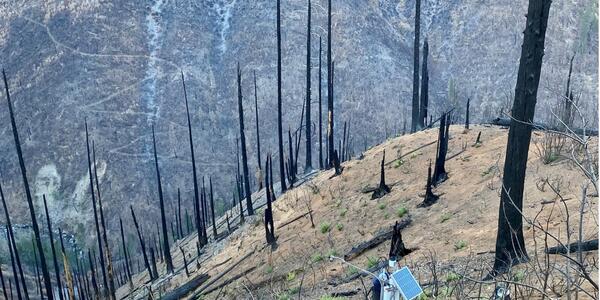
The USGS “Chips” site is located in the Plumas National Forest in northern California. The site consists of instrumentation monitoring the hillslope in the lower part of the image. The hillslope exhibits moderate soil burn severity and hosts silty soils derived from metamorphic bedrock.| USGS
The FY 2026 President’s Budget restructures the Landsat Next mission. The USGS and the National Aeronautics and Space Administration (NASA) will work together to identify more affordable approaches to ensuring the continuity of Landsat data for users.| USGS
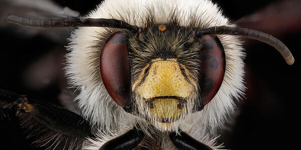
Bees are nearly ubiquitous, occurring on every continent except Antarctica. Wherever there are insect-pollinated flowering plants — forest, farms, cities and wildlands — there are bees. And just because you don’t see plants blooming, does not mean that there are no bees around.| USGS
A new report about the Landsat satellite program – a partnership between the U.S. Geological Survey and National Aeronautics and Space Administration – calculates its 2023 value at \$25.6 billion—a marked increase from its 2017 estimate of \$3.45 billion.| USGS
We provide science about the natural hazards that threaten lives and livelihoods; the water, energy, minerals, and other natural resources we rely on; the health of our ecosystems and environment; and the impacts of climate and land-use change. Our scientists develop new methods and tools to supply timely, relevant, and useful information about the Earth and its processes.| USGS
At least 45% of the nation’s tap water is estimated to have one or more types of the chemicals known as per- and polyfluorinated alkyl substances, or PFAS, according to a new study by the U.S. Geological Survey. There are more than 12,000 types of PFAS, not all of which can be detected with current tests; the USGS study tested for the presence of 32 types.| www.usgs.gov