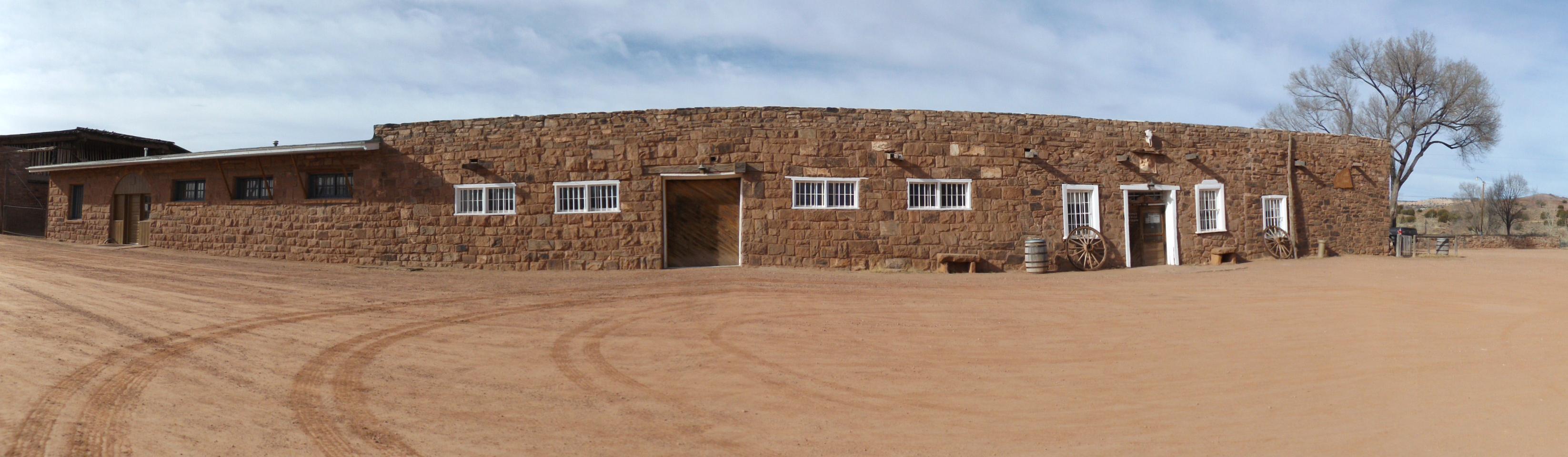
Wóshdę́ę́, please come in where the squeaky wooden floors greet your entry into the oldest operating Trading Post on the Navajo Nation. As your eyes adjust to the dim light in the "bullpen", you'll find you've just entered a mercantile. Hubbell's in Ganado has been selling goods and trading Native American Art since 1878. Discover Hubbell Trading Post NHS, sheep, rugs, jewelry and so much more...| www.nps.gov
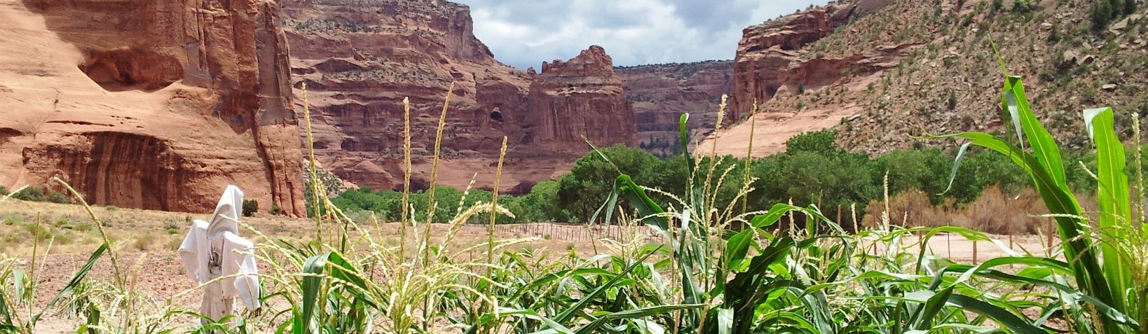
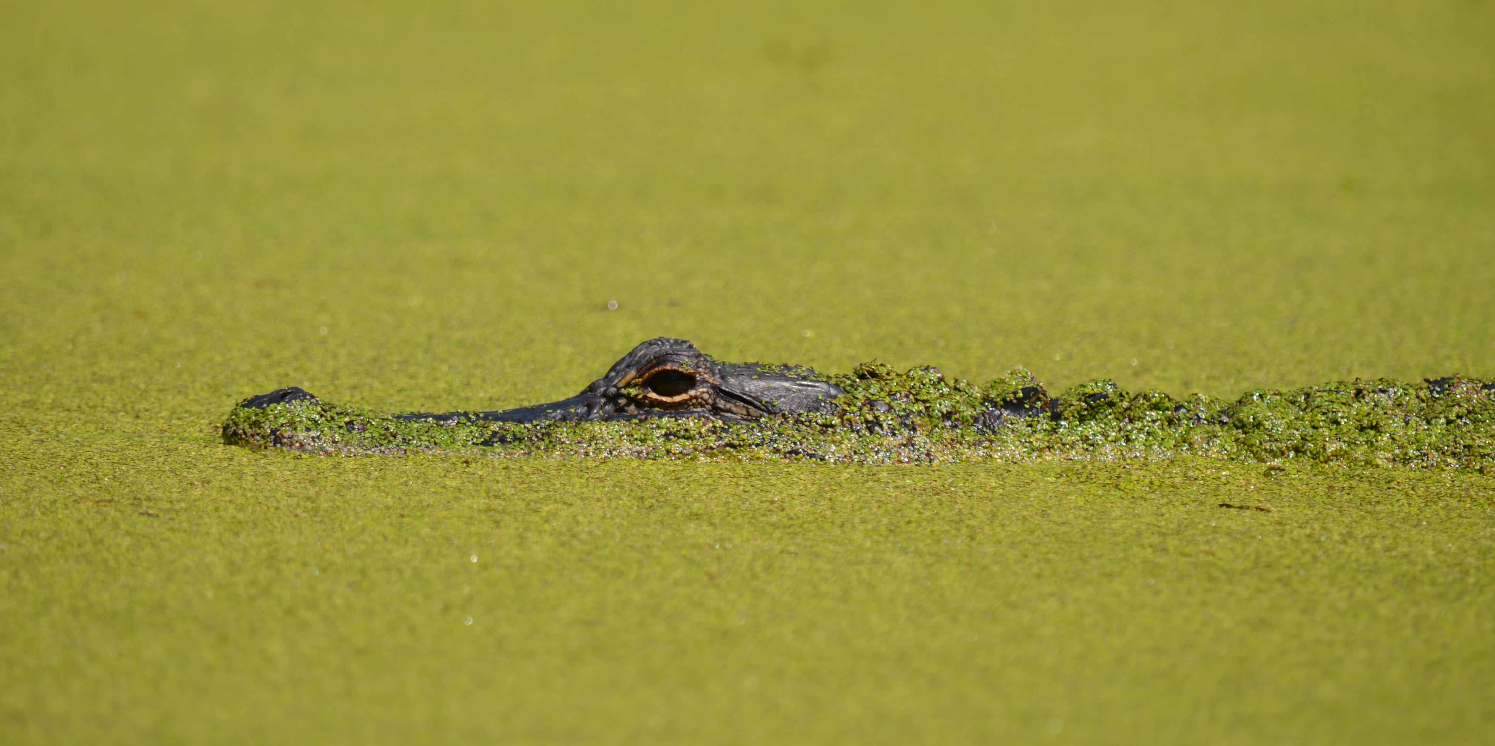
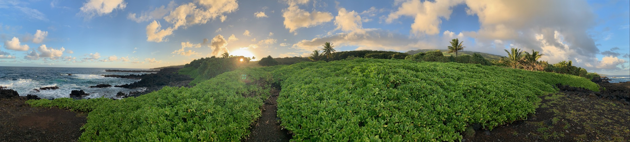
This canyon is home to Diné families who raise livestock, farmlands, and live here. People have lived in these canyons for nearly 5,000 years, which is longer than anyone has lived continuously on the Colorado Plateau. In this place called Tsegi, their homes and images tell us their stories. Today, the park and Navajo Nation work together to manage the rich cultural and natural resources.| www.nps.gov
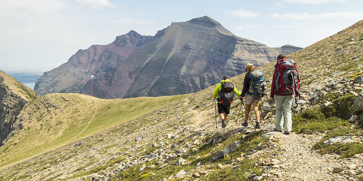
Glacier Guides offers guided half day, full day, and multi day day hikes and backpacking trips in Glacier National Park. Options include both regularly scheduled and private, custom departures. Multi day tours of Granite Park and Sperry Chalets are also available. Glacier Guides supplies a backcountry Sherpa/porter service by carrying gear into backcountry campgrounds or chalets for visitors. Camping equipment is available for rent at Glacier Guides’ West Glacier office.| www.nps.gov
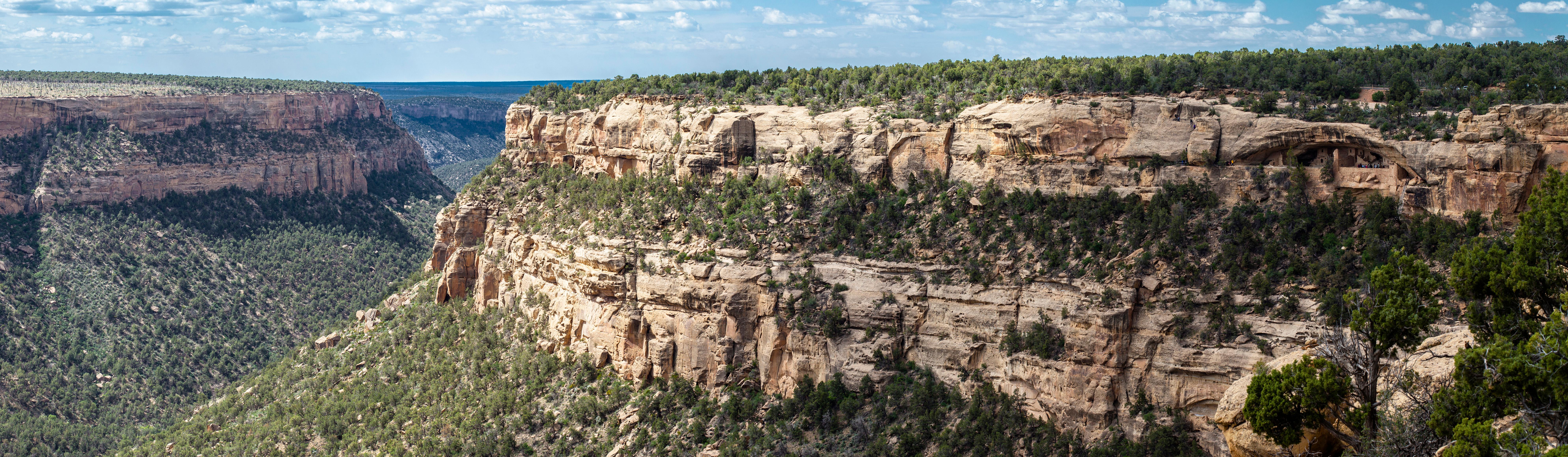
For over 700 years, the Ancestral Pueblo people built thriving communities on the mesas and in the cliffs of Mesa Verde. Today, the park protects the rich cultural heritage of 27 Pueblos and Tribes and offers visitors a spectacular window into the past. This World Heritage Site and International Dark Sky Park is home to over a thousand species, including several that live nowhere else on earth.| www.nps.gov
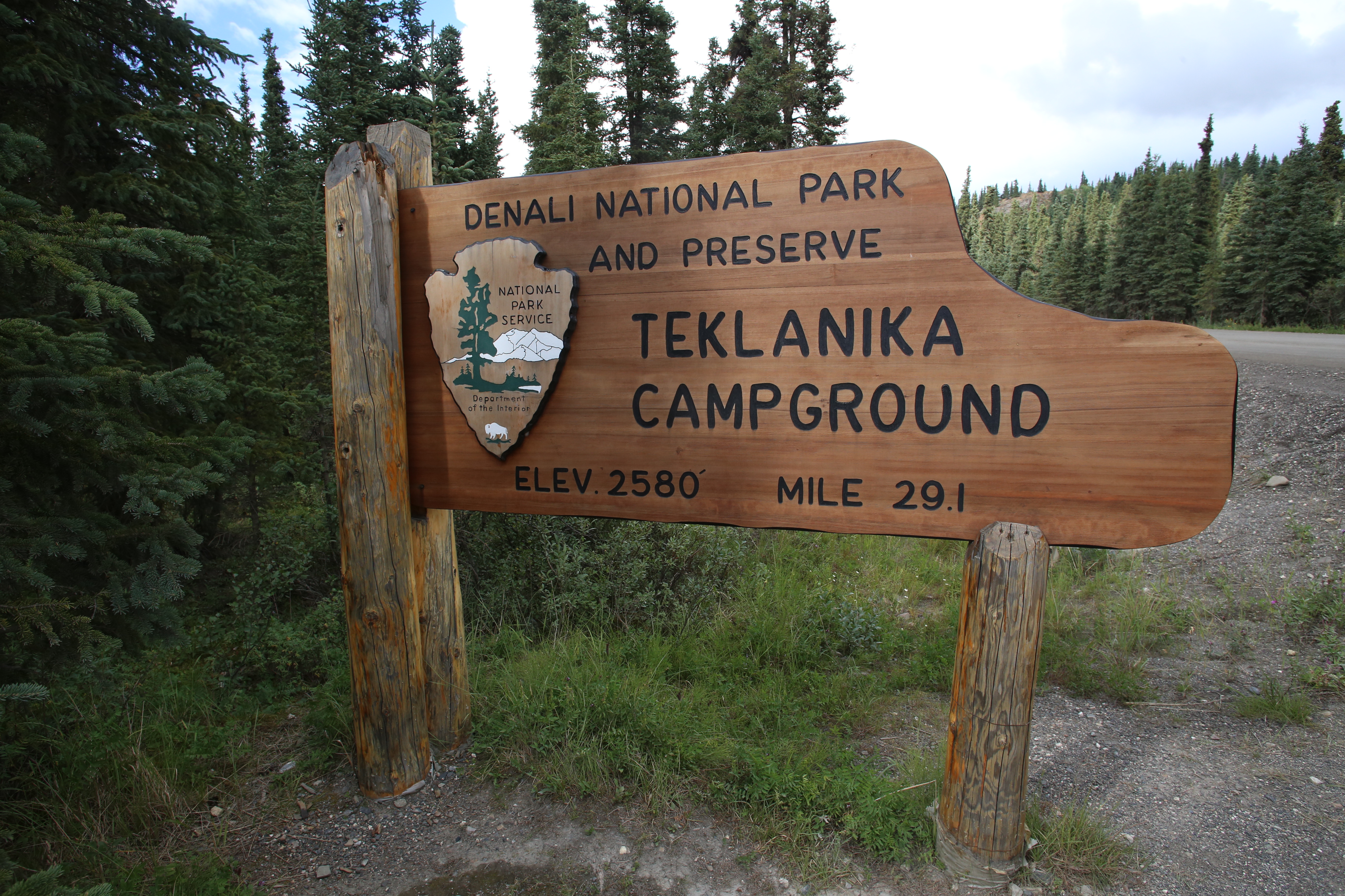
Though nearly all park visitors driving private vehicles must turn around at Mile 15 (Savage River), Tek campers are an exception to that rule. If you wish, you may drive your own vehicle or RV to Tek. The road between Savage River and the Tek Campground (Mile 29) is gravel. If you drive your car to Tek, the trade-off for being able to drive farther into the park than most visitors is that you must make a three-night minimum stay. You may stop on your way to/from the campground to sight-see (...| www.nps.gov
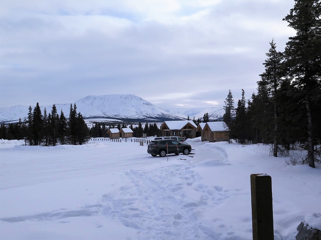
The Mountain Vista area is located near the end of the paved and publicly-accessible portion of the Denali Park Road. In summer we highly recommend taking the free bus, called the Savage River Shuttle, as available parking is extremely limited.| www.nps.gov
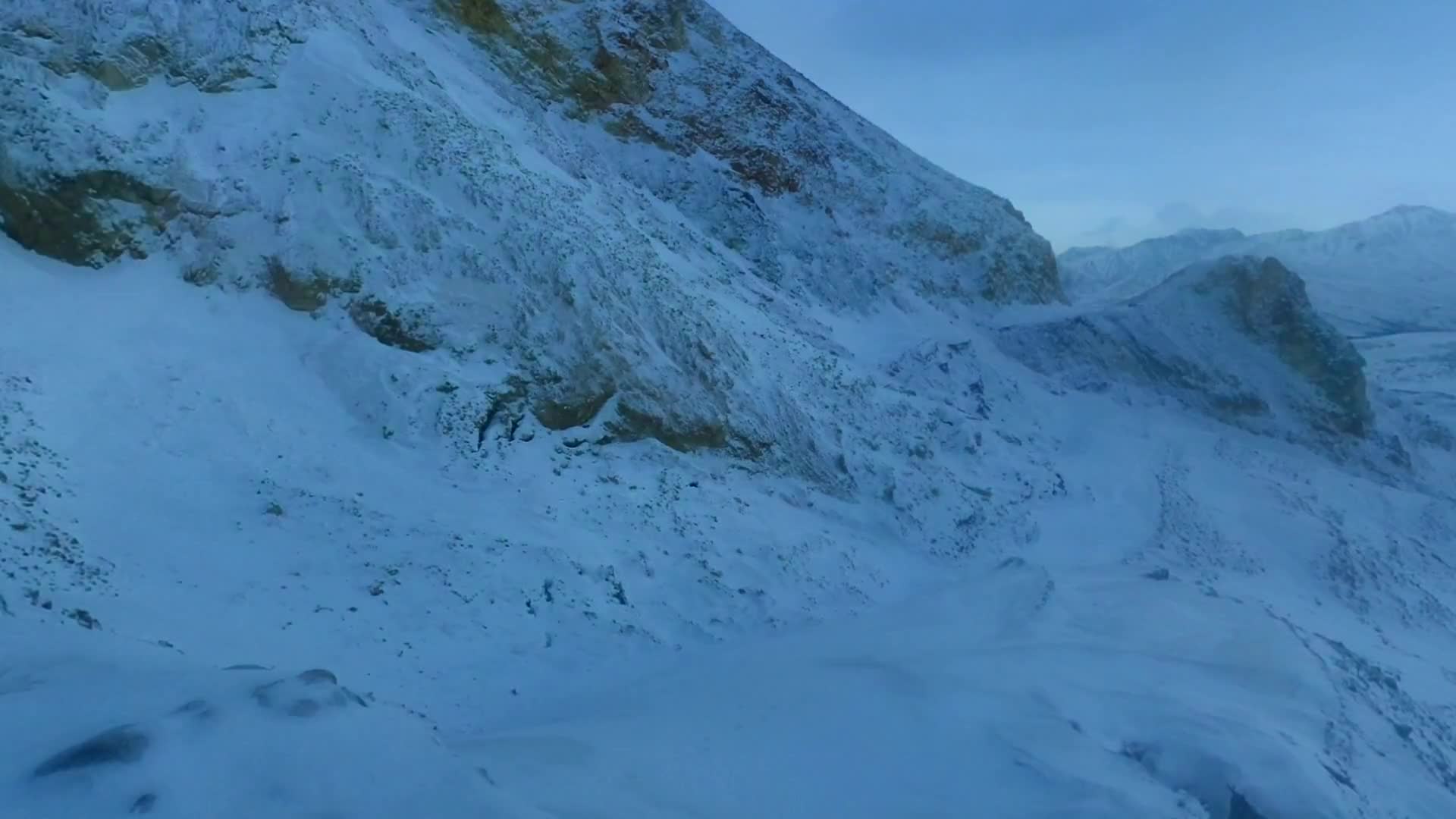
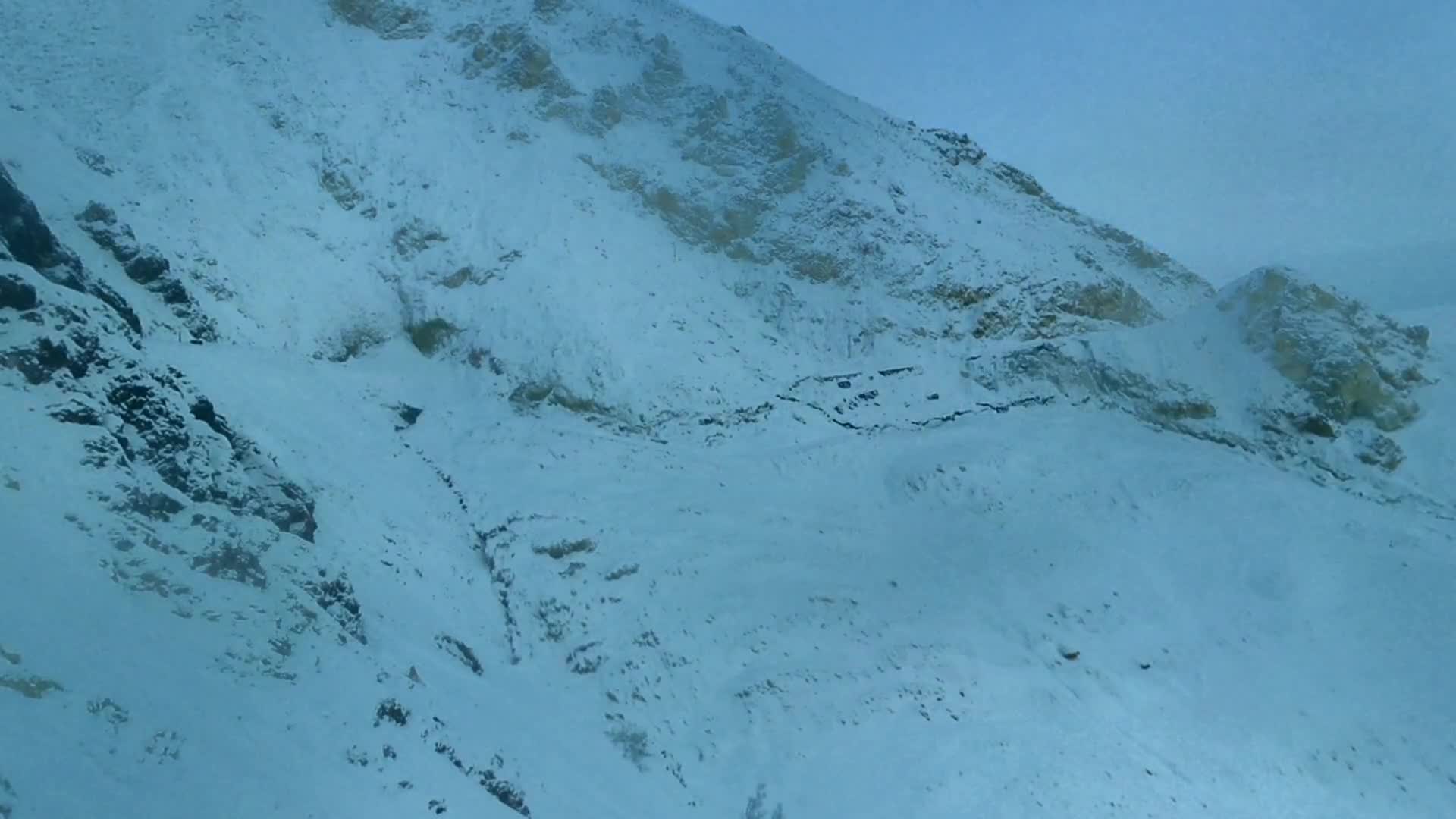
Time-lapse video of the Pretty Rocks landslide from July 25, 2021 to April 18, 2022, looking to the northeast. From July 25th until September 2nd, road maintenance crews were spreading up to 100 truckloads of gravel per week within the landslide to maintain the road.| www.nps.gov
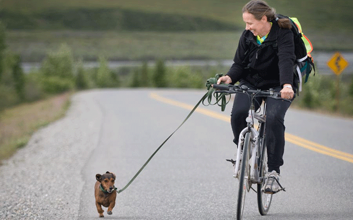
Bringing a pet to Yellowstone may limit your activities in the park. To protect your pet, park wildlife, and the experience of others, please follow these regulations:| www.nps.gov
Dentist, doctor, lawyer, and activist John Stewart Rock fought against slavery and for the elevation of the Black community. [Please note: John Rock's middle name was Stewart, not "Sweat," as some sources cited below had indicated. Thanks to our readers for pointing out the error.]| www.nps.gov
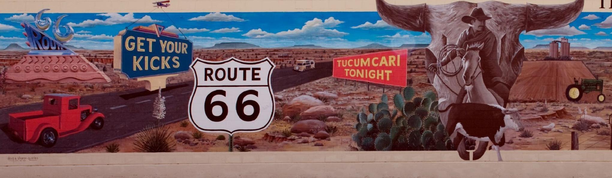
U.S. Route 66 was established in 1926, but it was after WWII that the road earned its place in pop culture. A trip from middle America to the coast could take about a week along swinging 66. No interstate speeds back then! For many, the journey was not just across miles, it was across culture and lifestyles, as each stop along the way offered local flair and regional flavor. Of course, getting to your destination was important, but the trip itself was a reward. Imagine the neon signs of one-o...| www.nps.gov
You’re visiting a park and notice a bison walk up a little way away from you. You’ve heard us joke about not petting the fluffy cows, but they just look so tame. Getting just a little closer to take an epic selfie won’t hurt... will it?| www.nps.gov
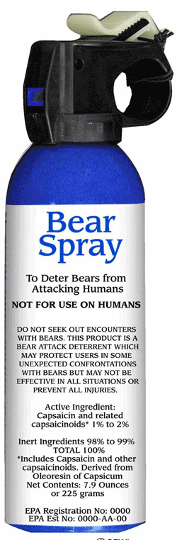
Bear spray has proven to be an effective, non-lethal, bear deterrent capable of stopping aggressive behavior in bears. The proper use of bear spray will reduce human injuries caused by bears as well as the number of grizzly bears killed in self defense. When carrying bear spray, it is important that you select an EPA approved product that is specifically designed to stop aggressive behavior from bears. Personal defense, jogger defense, and law enforcement or military defense spray's may not c...| www.nps.gov
Discover the roots of jazz at the New Orleans Jazz National Historical Park. Located in the heart of the French Quarter, our park offers live performances, exhibits, and programs that celebrate the legacy of America's unique musical art form. Immerse yourself in the vibrant history and culture of jazz, a sound that continues to inspire the world. Join us in preserving and celebrating the music!| www.nps.gov
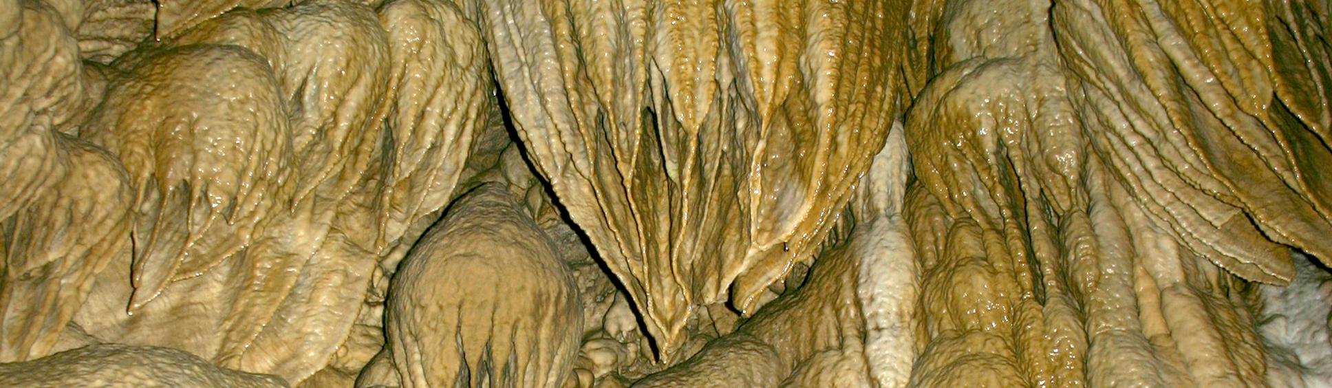
Deep within the Siskiyou Mountains are dark, twisting passages that await your discovery. Eons of acidic water seeping into marble rock created and decorated the wondrous “Marble Halls of Oregon.” Join a tour, get a taste of what caving is all about, and explore a mountain from the inside and out!| www.nps.gov
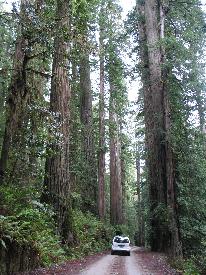
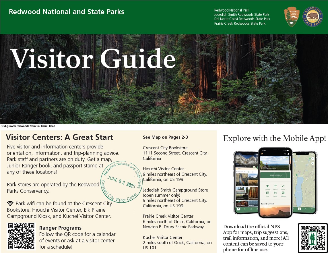
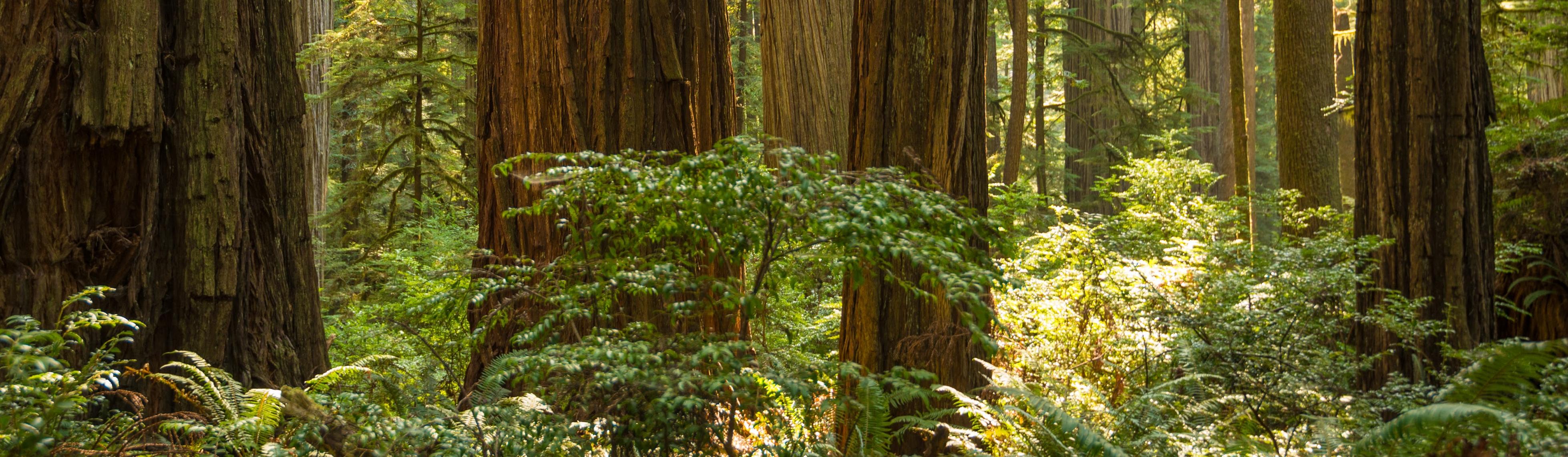
The Klamath Network (KLMN) consists of six national park units located in northern California and southern Oregon. KLMN parks encompass an array of habitats including lagoons, dunes, rocky intertidal zones along the Pacific shore, wet coastal forests, subalpine forests, meadows, lakes, alpine environments, and semiarid sagebrush steppe.| www.nps.gov
Pets are only allowed on paved trails and viewpoints, roads, campsites, and picnic areas. The 0.5 mi (0.8 km) section of Rim Trail between Sunset and Sunrise Points and the Shared-Use Bike Path are the only paved trails within this park.| www.nps.gov
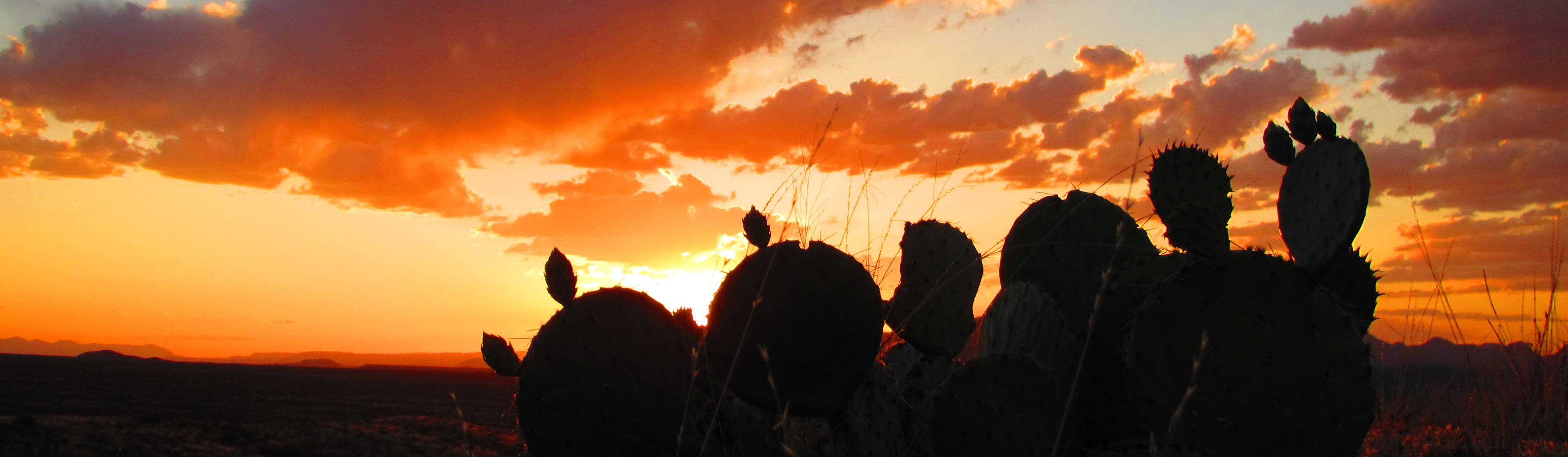
There is a place in Far West Texas where night skies are dark as coal and rivers carve temple-like canyons in ancient limestone. Here, at the end of the road, hundreds of bird species take refuge in a solitary mountain range surrounded by weather-beaten desert. Tenacious cactus bloom in sublime southwestern sun, and species diversity is the best in the country. This magical place is Big Bend...| www.nps.gov
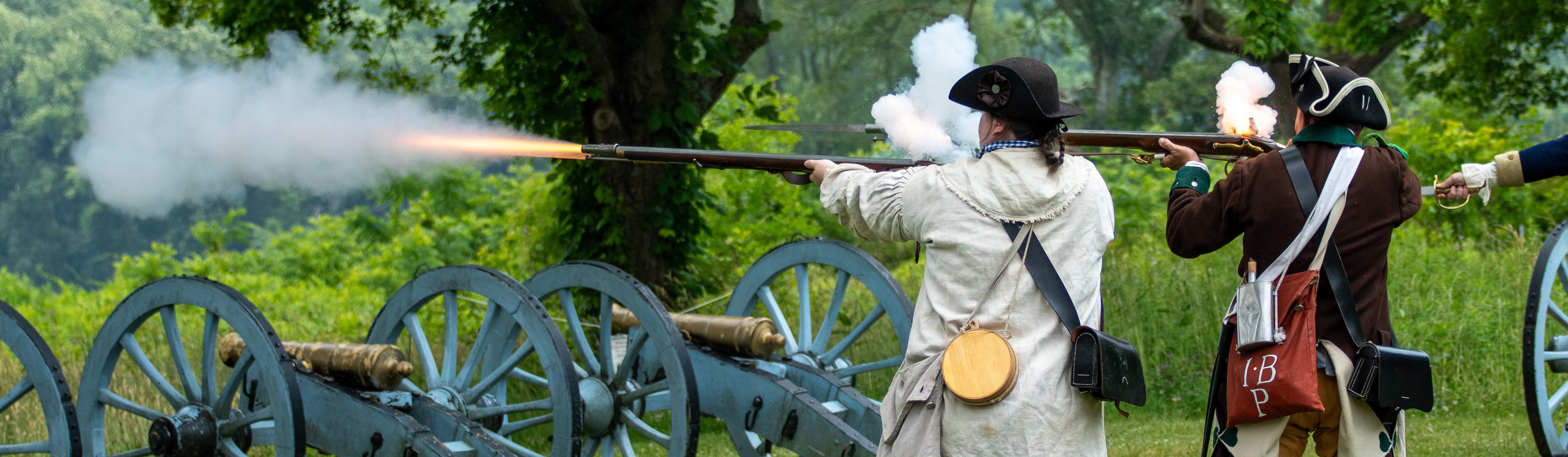
Valley Forge is the place where George Washington and the Continental Army took refuge during the winter of 1777-1778. Today the park protects 3,500 acres of meadows, woodlands, historic landscapes, and monuments commemorating the resolve of the Revolutionary War generation and honoring the power of people to pull together, overcome adversity, and find renewal through transformation.| www.nps.gov
People first arrived in the Chesapeake Bay during the last ice age. As glaciers melted, diverse societies learned to thrive in a world of water. When Englishman Captain John Smith explored the Bay in 1608, he documented hundreds of American Indian communities. Today, sites on his map are archeological treasures and sacred sites for tribal citizens. Come join us on the shores of the Chesapeake Bay!| www.nps.gov
U.S. Highway 66 -- popularly known as Route 66 or the Mother Road -- holds an elevated place in American consciousness and tells diverse stories of a mobile nation on the road. Discover this shared heritage through historic places you can still experience today, which are reminders of our past and the influence the automobile has had on our lives and nation today. | www.nps.gov
Note: Ranger programs in Denali are mainly offered in the summer, from mid-May through mid-September. Some weekend ranger walks and special programs are available in fall, winter, or spring—check our event calendar to see if anything is scheduled for when you plan to visit.| www.nps.gov
The calendar below advertises scheduled, specific events occurring in the park. These are generally ranger programs and other special events.| www.nps.gov
April 2025 Update: The construction crews are back in the park for the 2025 season! In late March, they plowed snow and set up their housing areas in Igloo and Teklanika, and they plan to move into the camps full time by mid-April. By the end of the month, they will be on site at Pretty Rocks to resume steel erection of the bridge truss and to prep the ramps for the cranes that will be used to help launch the bridge later this summer. The first four bays of the bridge truss were completed at ...| www.nps.gov
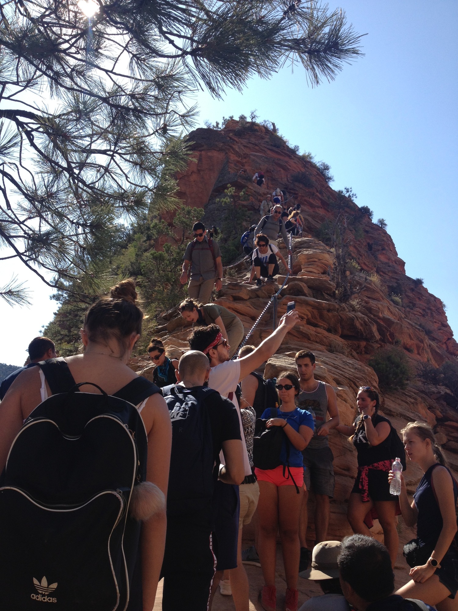
You can apply for a permit before your trip. You will get to pick seven ranked days and times or windows of days and times you want to hike.| www.nps.gov
Valley garter snake (Thamnophis sirtalis fitchi), a subspecies of the common garter snake. Gary Nafis, californiaherps.com CC BY-NC-ND 3.0.| www.nps.gov
Now, gentlemen, your Black Republicans have cheered every one of those propositions, ("good and cheers, ") and yet I venture to say that you cannot get Mr. Lincoln to come out and say that he is now in favor of each one of them. (Laughter and applause. "Hit him again.) That these propositions, one and all, constitute the platform of the Black Republican party of this day, I have no doubt; ("good") and when you were not aware for what purpose I was reading them, your Black Republicans cheered ...| www.nps.gov
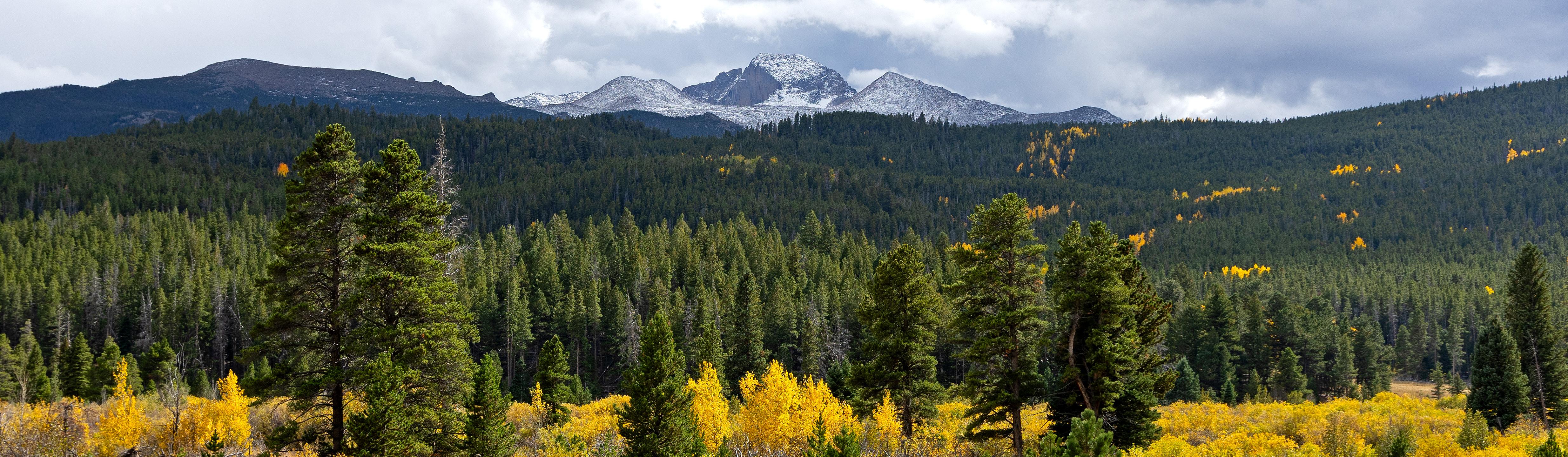
Rocky Mountain National Park's 415 square miles (265,807 acres) encompasses a spectacular range of mountain environments. From meadows found in the montane life zone to glistening alpine lakes and up to the towering mountain peaks, there is something for everyone to discover. Along the way explore over 300 miles of hiking trails and incredible wildlife viewing.| www.nps.gov
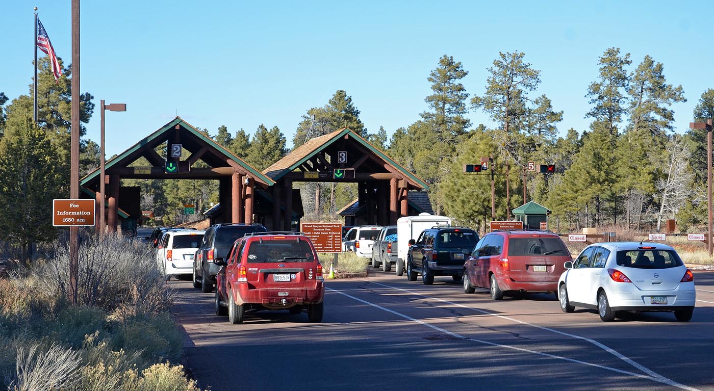
The America the Beautiful – The National Parks and Federal Recreational Lands Pass Series includes different options of interagency passes that provide access to more than 2,000 federal recreation areas across the United States. Participating agencies include the National Park Service, Bureau of Land Management, Bureau of Reclamation, US Fish and Wildlife Service, US Forest Service, and US Army Corps of Engineers. Most interagency passes are available through the USGS Online Store. Use the ...| www.nps.gov
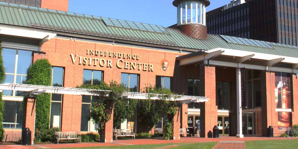
Plan your visit in the Independence Visitor Center. Ask our knowledgeable park rangers about Independence Hall, the Liberty Bell Center, and other sites. City concierge staff will gladly assist you with information about lodgings and restaurants. NPS photo| www.nps.gov
Welcome! The National Park Service strives to make the parks as universally accessible as possible. Here at Independence, park buildings, programs, films and exhibits are accessible through a variety of means, including ramps, open captioning and assistive listening devices. Service animals are permitted in all park buildings.| www.nps.gov
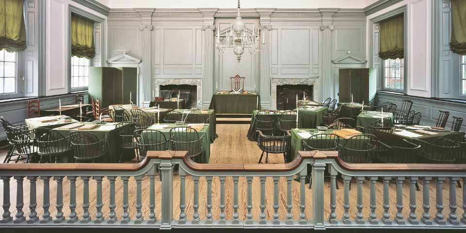
The West Wing of Independence Hall contains original printed 18th century documents as well as the inkstand most likely used to sign the Declaration of Independence and U.S. Constitution. NPS photo| www.nps.gov
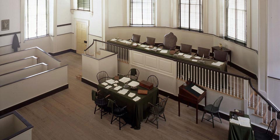
Gaze into the Supreme Court chamber and imagine the arguments that took place here in the 1790s over issues still familiar today, like state's rights. NPS photo| www.nps.gov
Service animals are welcomed in all public areas of Great Basin National Park. This includes all visitor centers, campgrounds, park trails, and Lehman Caves. Interface between service animals and wildlife is possible, so precautions should be taken to ensure a safe visit.| www.nps.gov
Great Basin National Park may schedule after-hour cave tours to take photographers into Lehman Caves for filming or photography activities. A Special Use Permit is required, and must be approved before activities can commence. The permit applies only in the cave. Filming, photography, and audio recording in other areas of the park may require a Filming Permit.| www.nps.gov
We are glad that you have decided to visit Great Basin National Park! As guardians of your park, we want to make sure that you and your students enjoy your visit and have a successful, educational experience.| www.nps.gov
White-nose syndrome (WNS) is a fungal disease killing hibernating bats in North America. The fungus, named Pseudogymnoascus destructans (or Pd for short) likely originated in Europe or Asia. Sometime in the early 2000's Pd arrived in North America and attacked vulnerable bat species, resulting in unusual and large die-offs of bats first observed in New York in 2006. Since then, the disease has spread to most US states and Canadian provinces, leaving millions of dead bats in its path. W...| www.nps.gov
The Antiquities Act of 1906 established the foundation for preserving and protecting the nation's archeological heritage. Presidents have used the authority of the Antiquities Act almost 300 times to protect archeological sites, historic landmarks, historic and prehistoric structures, and other objects of historic or scientific interest already on Federal lands. Congress has since enlarged the original boundaries of many presidentially-proclaimed national monuments or changed their park des...| www.nps.gov
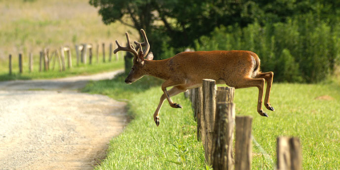
You are responsible for your own safety! Travel in Great Smoky Mountains backcountry areas has inherent risks and hikers assume complete responsibility for their own safety. Rescue is not a certainty!| www.nps.gov
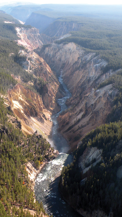
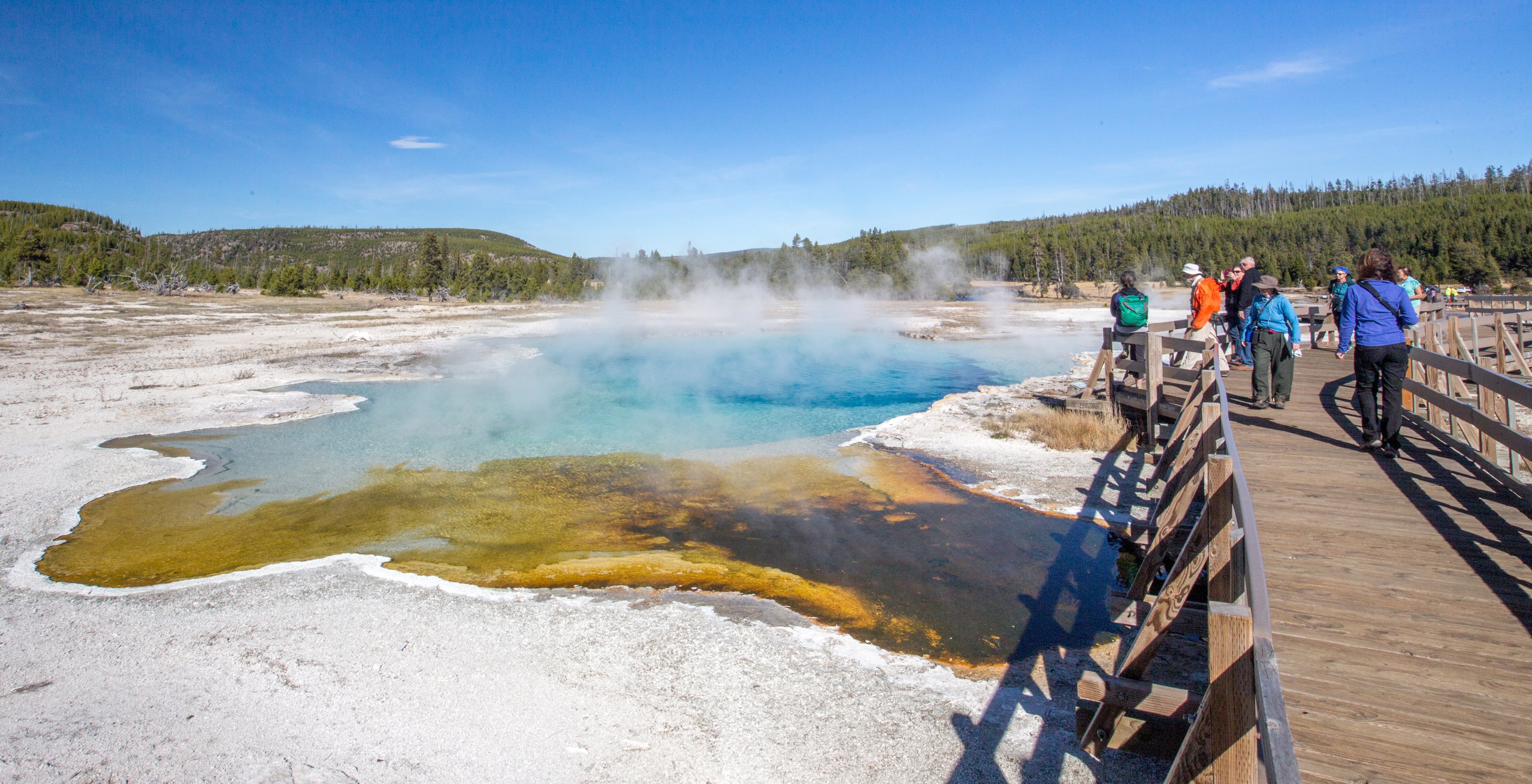
On March 1, 1872, Yellowstone became the first national park for all to enjoy the unique hydrothermal and geologic features. Within Yellowstone's 2.2 million acres, visitors have unparalleled opportunities to observe wildlife in an intact ecosystem, explore geothermal areas that contain about half the world’s active geysers, and view geologic wonders like the Grand Canyon of the Yellowstone River.| www.nps.gov
The map offers a quick snapshot of current trail and campsite status. Below the map is more detailed information regarding the condition of the trail, further descriptions of trail closures, warnings, and known hazards. Please make sure to review both the backcountry conditions map and the Area Conditions Detail Section of this page| www.nps.gov
Yellowstone National Park covers nearly 3,500 square miles in the northwest corner of Wyoming (3% of the park is in Montana and 1% is in Idaho).| www.nps.gov