The City of Edmonton, Canada, used StreetLight to fill in the traffic volume data gaps caused by the pandemic, validating their regional travel demand model and analyzing insights to understand the changing mobility landscape.| learn.streetlightdata.com
StreetLight’s AADT 2023 metrics provide high-quality and validated traffic counts across all road sizes, including local roads - without sending staff to the field to perform manual data collection.| learn.streetlightdata.com
StreetLight’s rigorously validated AADT 2022 Metrics continue to improve year over year, allowing for traffic count comparisons across time and counts for all road types.| learn.streetlightdata.com
This report analyzes how walking and driving activity correlates with retail vibrancy in Washington D.C. and shows how granular pedestrian and vehicle traffic data can be used to identify high priority retail locations.| learn.streetlightdata.com
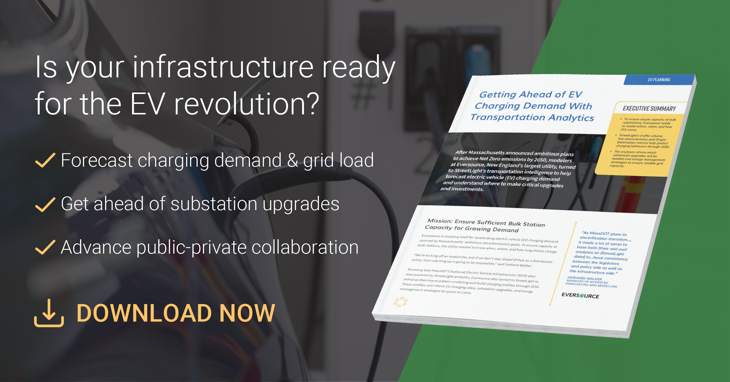
To ensure electric vehicle charging stations are prepared for the EV revolution, Massachusetts’s largest electric utility uses mobility data to forecast future demand| learn.streetlightdata.com
As we push toward ambitious electrification goals in the coming decades, is our EV charging infrastructure ready? Panelists discuss the data behind intelligent forecasting and public-private collaboration.| learn.streetlightdata.com
StreetLight InSight® is a self-serve platform that lets users ask mobility questions and get the answers within minutes, with our proprietary transportation cloud-based software.| learn.streetlightdata.com
See Sarasota's data-backed active transportation plan that guided decisions and funding for transit, bicycle, and pedestrian facilities.| learn.streetlightdata.com
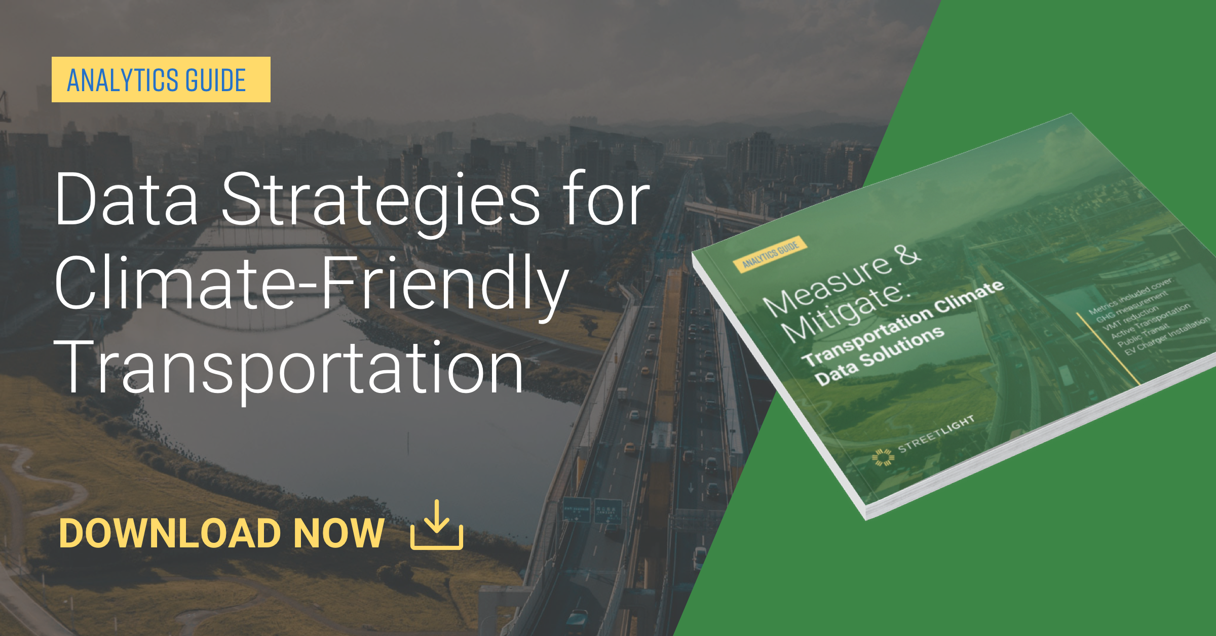
Understand the link between transportation and climate change and see how data solutions can help mitigate emissions, encourage active transportation, and more.| learn.streetlightdata.com
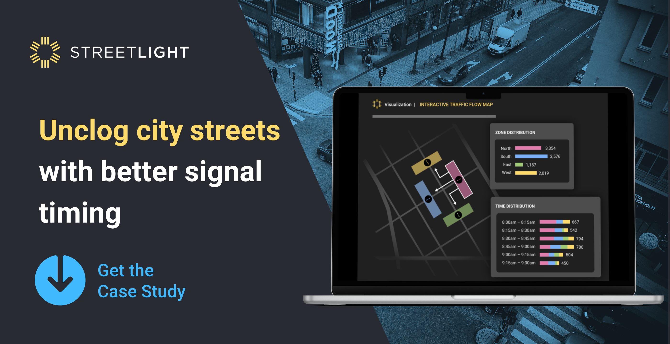
See how Temecula used on-demand Turning Movement Counts to optimize signal timing, reduce congestion, and make intersections safer throughout the city.| learn.streetlightdata.com
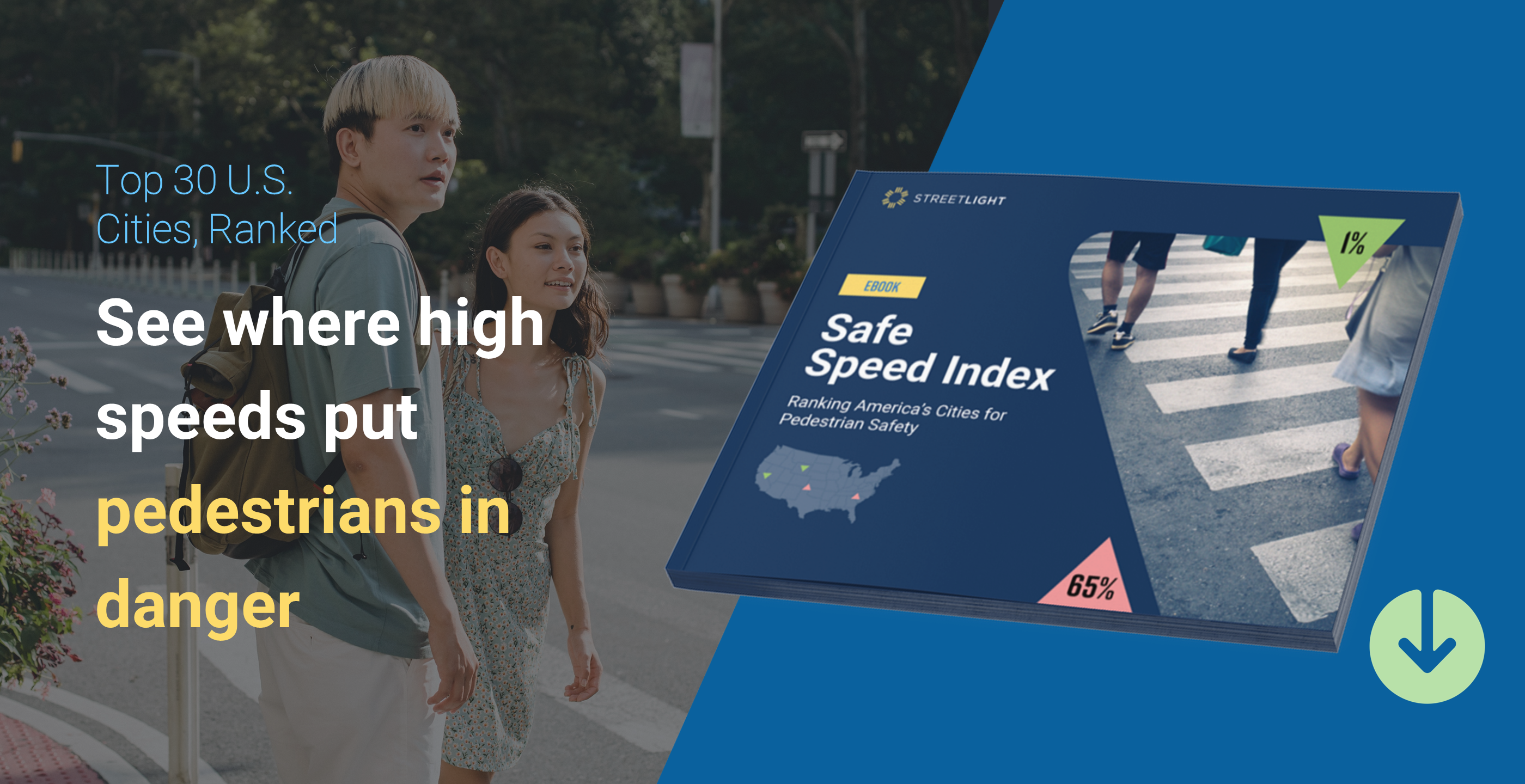
See where the top 30 American cities rank on unsafe traffic speeds and learn how you can use speed data to advance pedestrian safety.| learn.streetlightdata.com
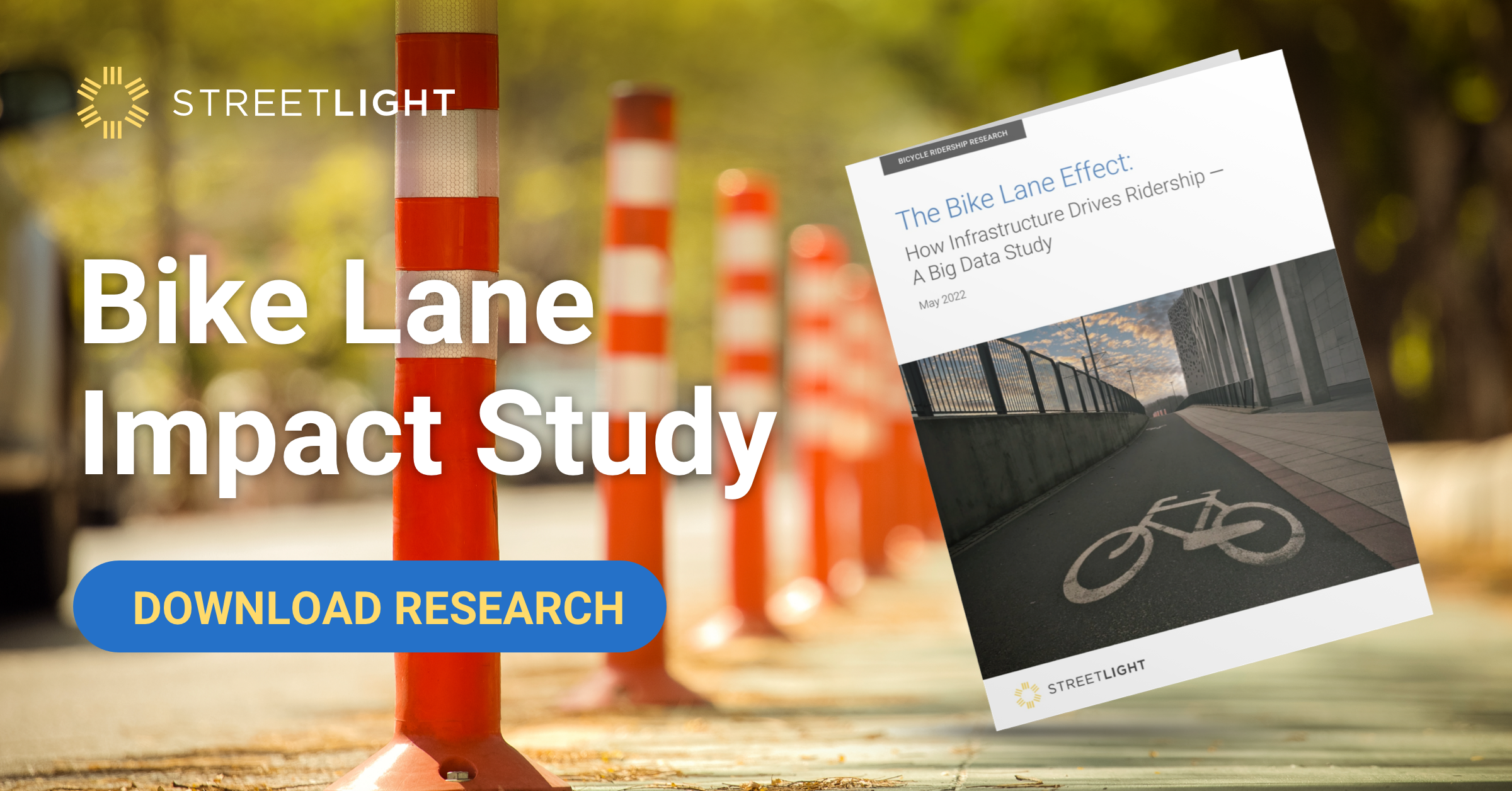
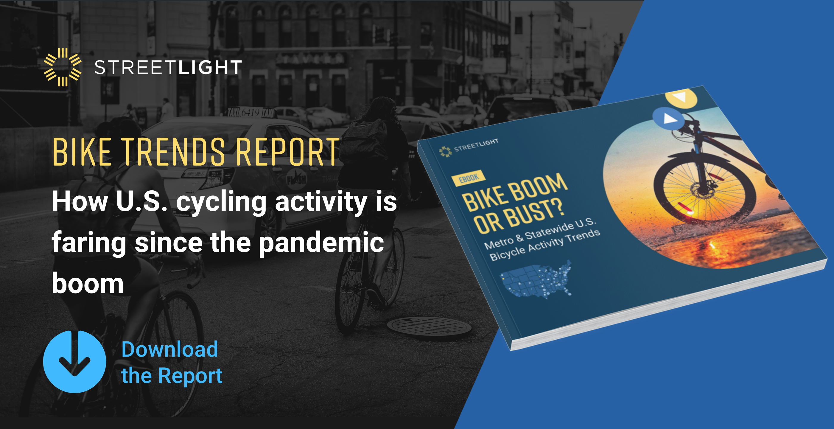
In 2020, headlines touted a boost in biking activity. Our new report explores the latest bike analytics to determine whether that lasted, and where daily bicycle volumes have grown the most.| learn.streetlightdata.com
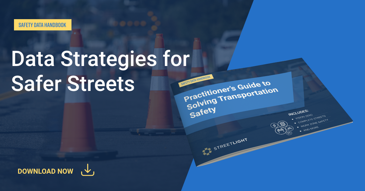
This handbook shows how vehicle, bicycle, and pedestrian analytics can power transportation safety initiatives like Vision Zero, Complete Streets, MIRE, and work zone safety.| learn.streetlightdata.com
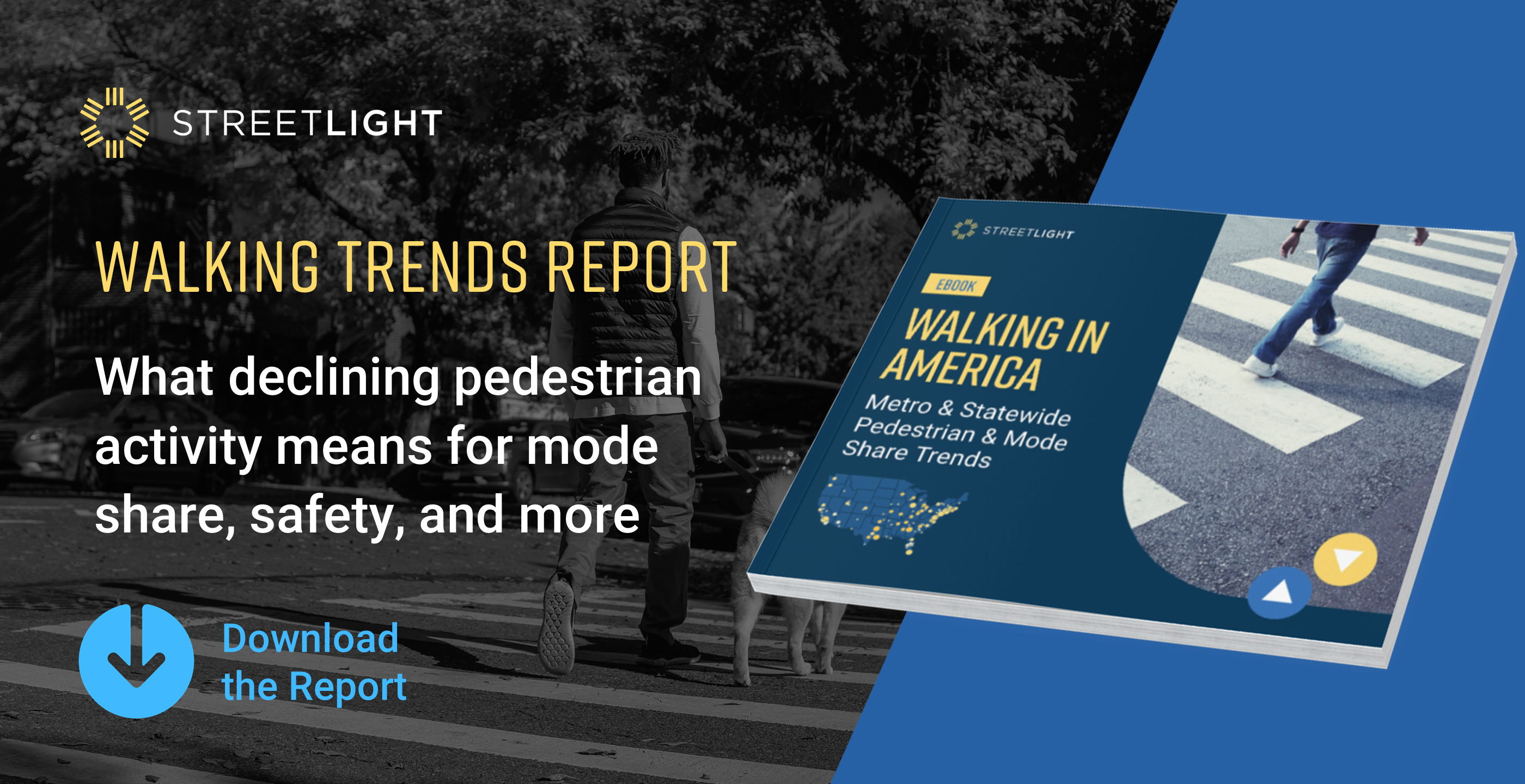
With pedestrian activity declining, our new analysis of walking and mode share data shows where U.S. cities and states rank and what this means for safety.| learn.streetlightdata.com