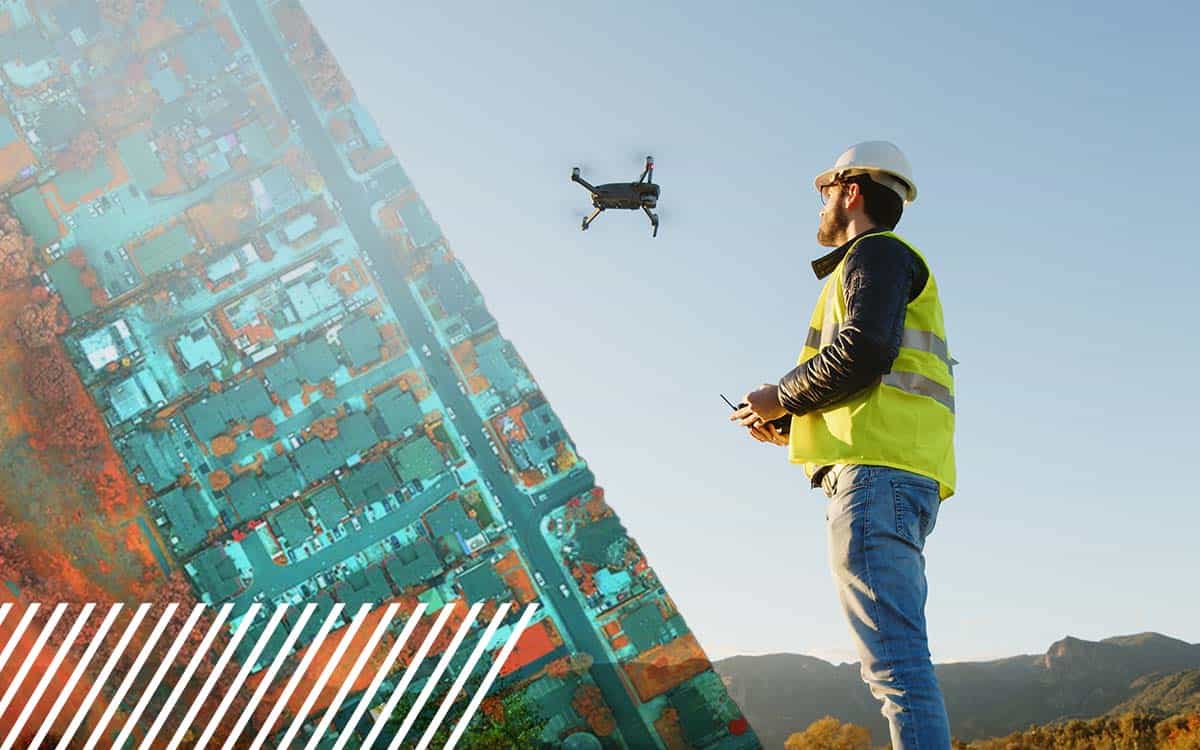
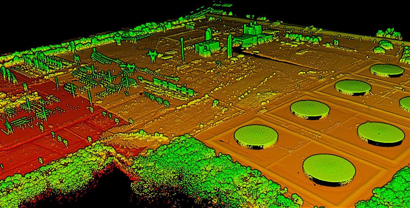
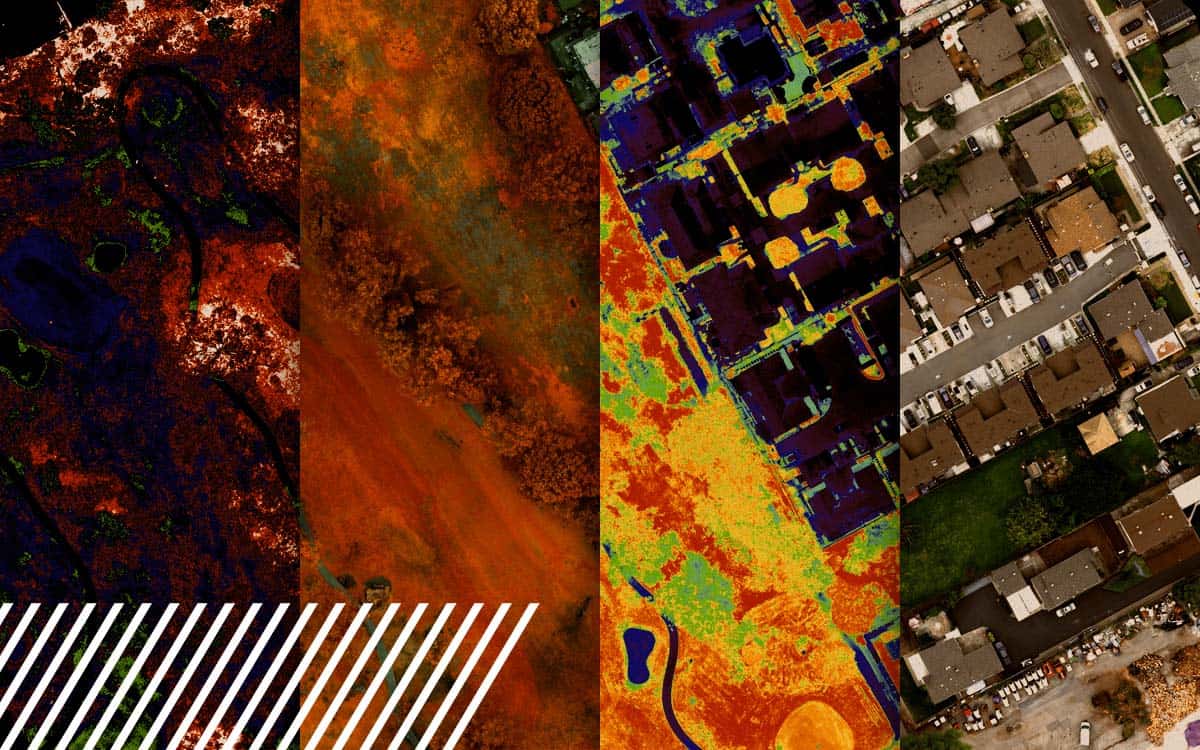
LiDAR Transforms Urban Development Mapping: Insights from a Client Perspective | FlyGuys
How LiDAR is transforming urban development and 3D mapping, pushing boundaries and setting new industry standards.| FlyGuys
How LiDAR is transforming urban development and 3D mapping, pushing boundaries and setting new industry standards.| FlyGuys
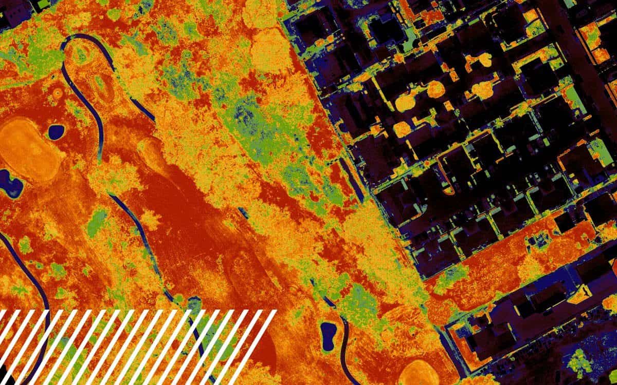
The Normalized Difference Vegetation Index (NDVI) is a metric derived from multispectral imaging, useful in assessing vegetation health.| FlyGuys

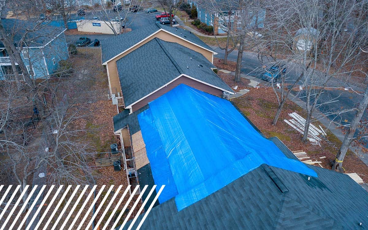
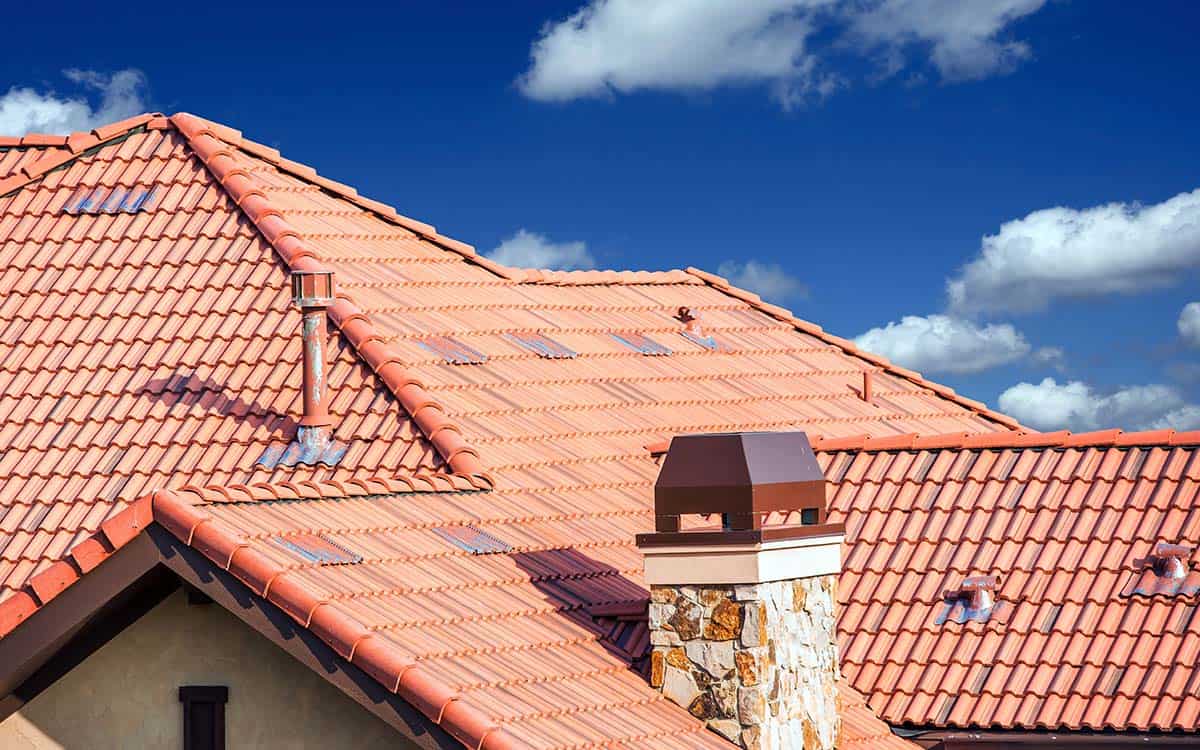
Win more roofing bids and boost ROI with drone-based reality data capture for accurate insights.| FlyGuys
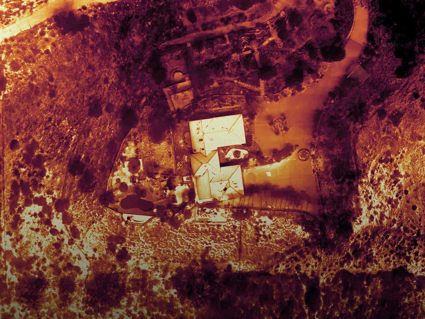
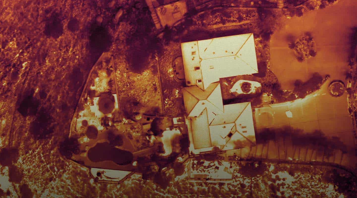
Thermal inspections utilize infrared technology to detect heat patterns and anomalies that are invisible to the naked eye. Our thermal imaging services provide critical insights into the condition of…| FlyGuys
Discover how insurance companies use drones to speed up claims and improve inspections.| FlyGuys
FlyGuys discusses the role and future of reality data capture in modern roofing inspections with an industry expert.| FlyGuys
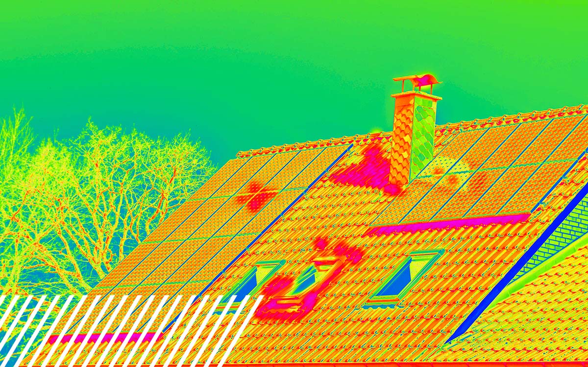
All of your thermal roofing inspection questions answered. Learn how drones can inspect your roof.| FlyGuys

Explore the transformative journey of reality data capture technology, from its manual origins to the sophisticated AI systems used today.| FlyGuys
Find out how LiDAR can save you time and money Source| FlyGuys

FlyGuys and Flock Safety partner to give communities smarter, faster crime response.| FlyGuys
We are a nationwide drone services provider that acquires aerial imaging data so you can make more informed decisions at an affordable cost.| FlyGuys
Find out how LiDAR can save you time and money Source| FlyGuys

Watch as Kevin O’Leary grills FlyGuys CEO Joe Stough on scaling drone-powered data, fueling AI innovation, and why culture drives success.| FlyGuys

We help utility companies execute and manage drone inspection programs to safely inspect their assets. Contact us today for a consultation.| FlyGuys
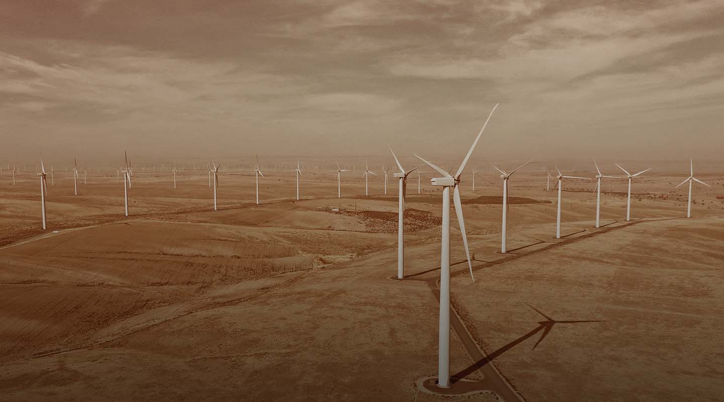
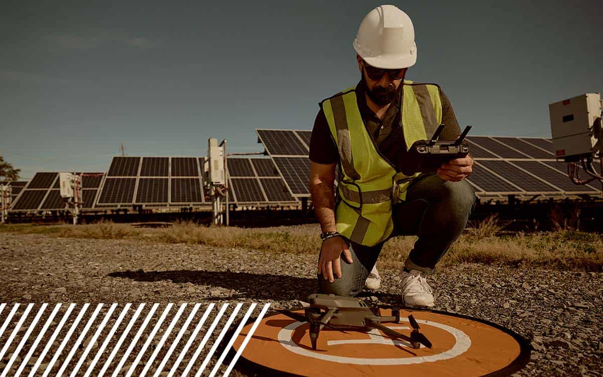
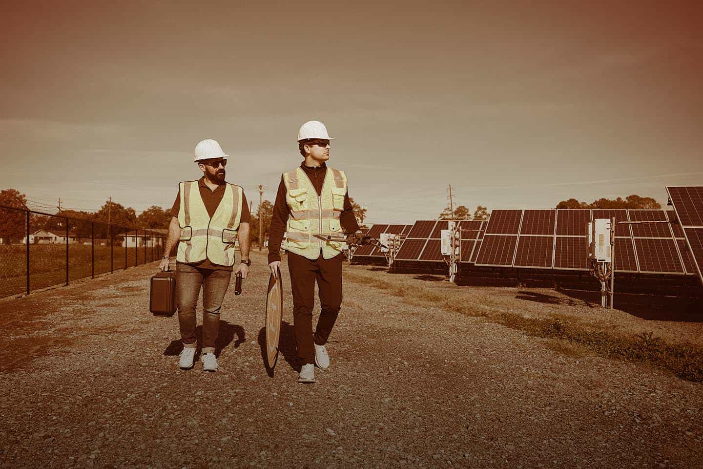
Our drone services improve the efficiency & accuracy of inspections for solar farms, wind farms, & refineries. Contact us today.| FlyGuys
Get a quote for your project anywhere in the U.S., or apply to be a FlyGuys pilot and harness the power of drone technology| FlyGuys
Elevate your marketing with drone photography and videography! We can capture amazing assets to market your project at an affordable cost.| FlyGuys
Find out how LiDAR can save you time and money Source| FlyGuys
Reality data platform powering AI innovation makes huge leap in national, industry and regional rankings Lafayette, LA – August 12, 2025—FlyGuys, the reality data platform powering AI innovation, today announced it has been named to the 2025 Inc. 5000 list, the most prestigious ranking of the fastest growing companies in the United States. FlyGuys ranked […] Source| FlyGuys
PX celebrates one year of pilot experience| FlyGuys
Reality Data Capture is making solar inspection more efficient, safe and standard. Thermal imaging catches anomalies.| FlyGuys
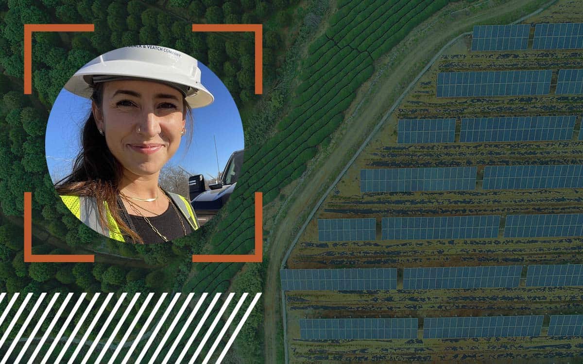
There is a global shift toward renewable energy, making the need for precise and actionable data more critical than ever. Reality data capture technologies allow for such data collection…| FlyGuys
Find out how FlyGuys integrates with your AI to fuel your business. Source| FlyGuys
We offer drone data collection services for surveyors and mappers. Start saving time, money and resources today. Deployed nationwide.| FlyGuys
Aerial imaging helps gain new insights with thermal, infrared, and HD tools. Contact us for a free consultation.| FlyGuys

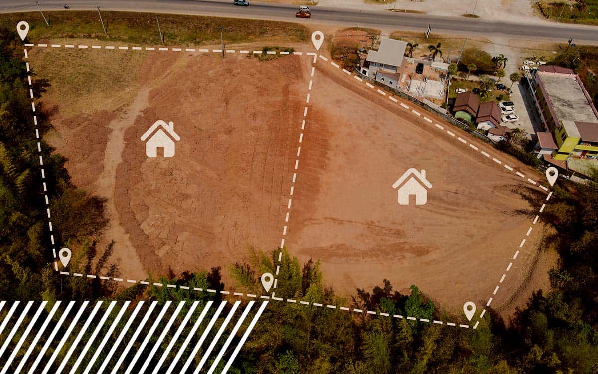
Land surveying and mapping are closely related fields often used together to create accurate and reliable maps of the Earth’s surface. Land surveying provides the foundational data and measurements…| FlyGuys
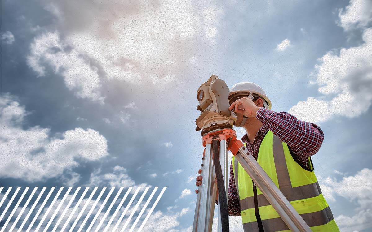
Learn how drone services and certified surveyors work together for accuracy and compliance.| FlyGuys
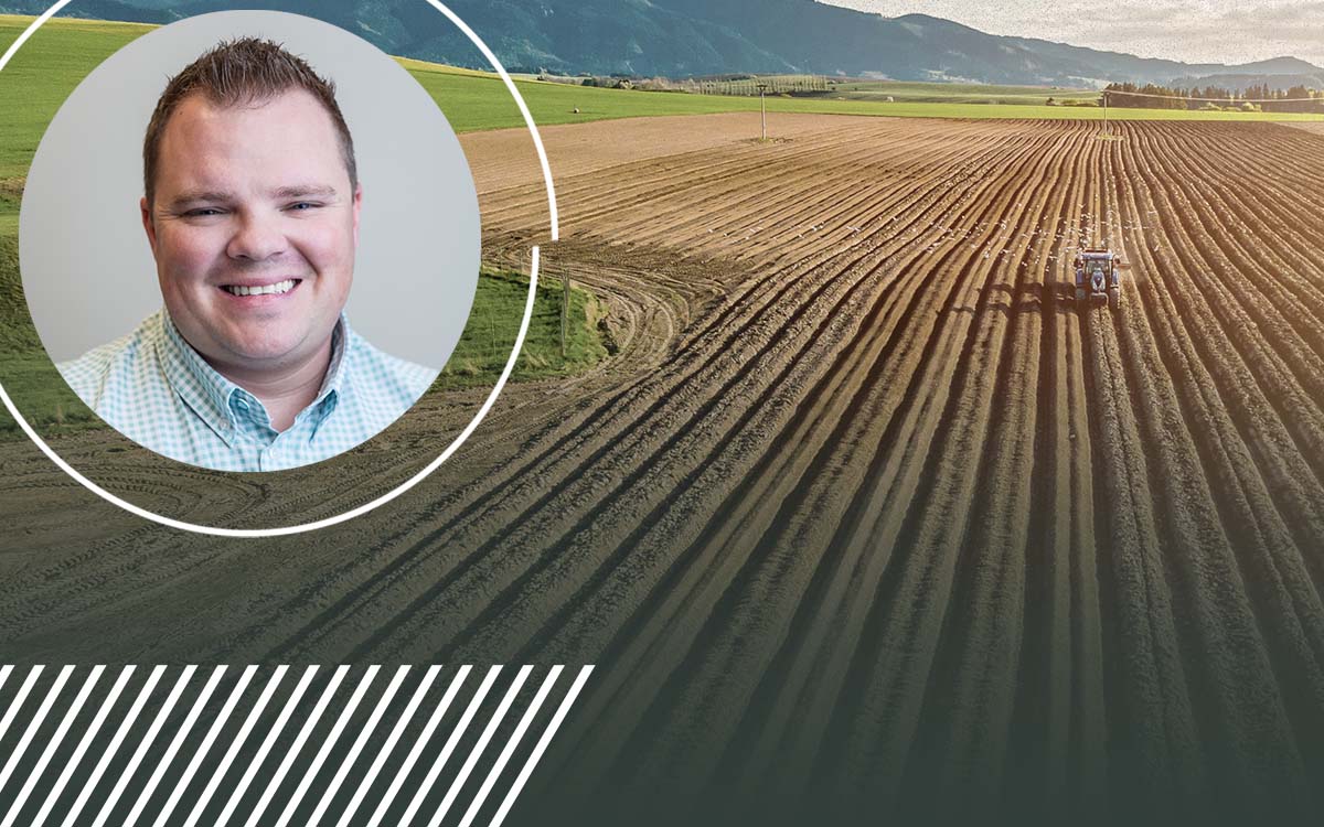
We discuss API integration with agriculture software with FlyGuy’s ag industry expert.| FlyGuys
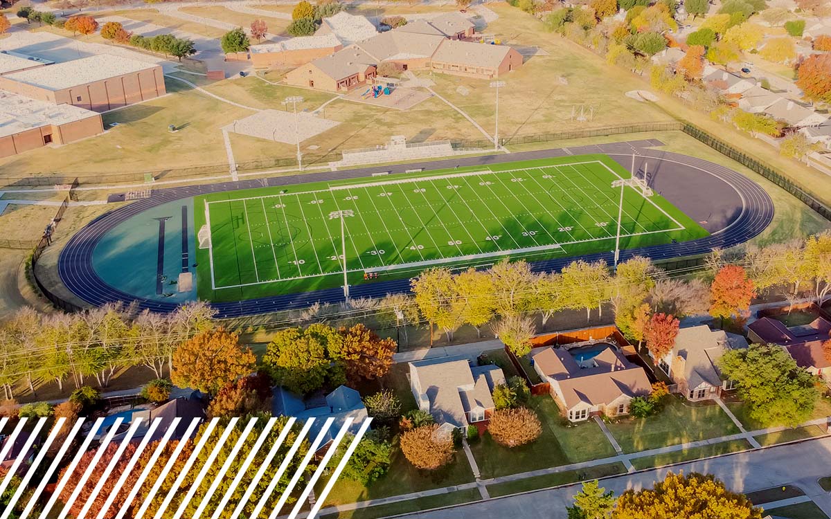
FlyGuys has partnered with FlyRoute, the top provider of drone filming for athletic programs.| FlyGuys

The FlyGuys Pilot App is here, making mission management easier than ever. Download today.| FlyGuys
With our advanced sensors, we help growers make more effective farming decisions, and become more efficient. Contact us today!| FlyGuys
What is the FAA Part 108 and what does this mean to drone pilots nationwide? Hear from an industry expert.| FlyGuys
Learn how to become a commercial drone pilot. Access drone pilot jobs across industries and locations. Build your drone pilot business with FlyGuys.| FlyGuys
Get professional drone services from our nationwide company including mapping, inspection, photography, & more. Contact Us Today!| FlyGuys
Discover how FlyGuys reality data capture powers AI software in the agriculture industry.| FlyGuys
Discover how FlyGuys reality data capture powers AI software for industries across the nation.| FlyGuys
Comparing the Mavic 3 Multispectral, MicaSense, and Sentera sensors for your next drone pilot job.| FlyGuys
Check out the most used drones in the FlyGuys pilot network and what missions they are used for.| FlyGuys
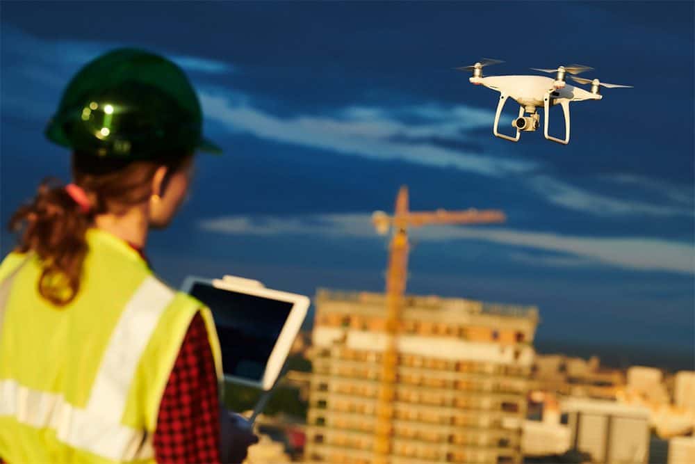
Our construction site aerial photography and video helps make sure a construction project runs smoothly. Improves safety & monitors progress.| FlyGuys
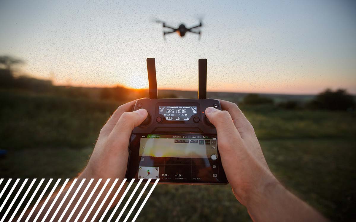
FlyGuys serves industries with services beyond typical aerial imaging. Whatever your industry, whatever your project, FlyGuys can help you elevate your business through smarter data collection.| FlyGuys
We carry out commercial drone inspections for cell towers, oil & gas infrastructure, solar farms, hard-to-reach places, & more! Call Today!| FlyGuys
Discover how confined space drones redefine inspections, enhancing safety, reducing costs, and capturing high-quality data in challenging environments.| FlyGuys
Explore the benefits of Blue UAS Capture for secure, reliable data collection in defense, critical infrastructure, and energy industries.| FlyGuys
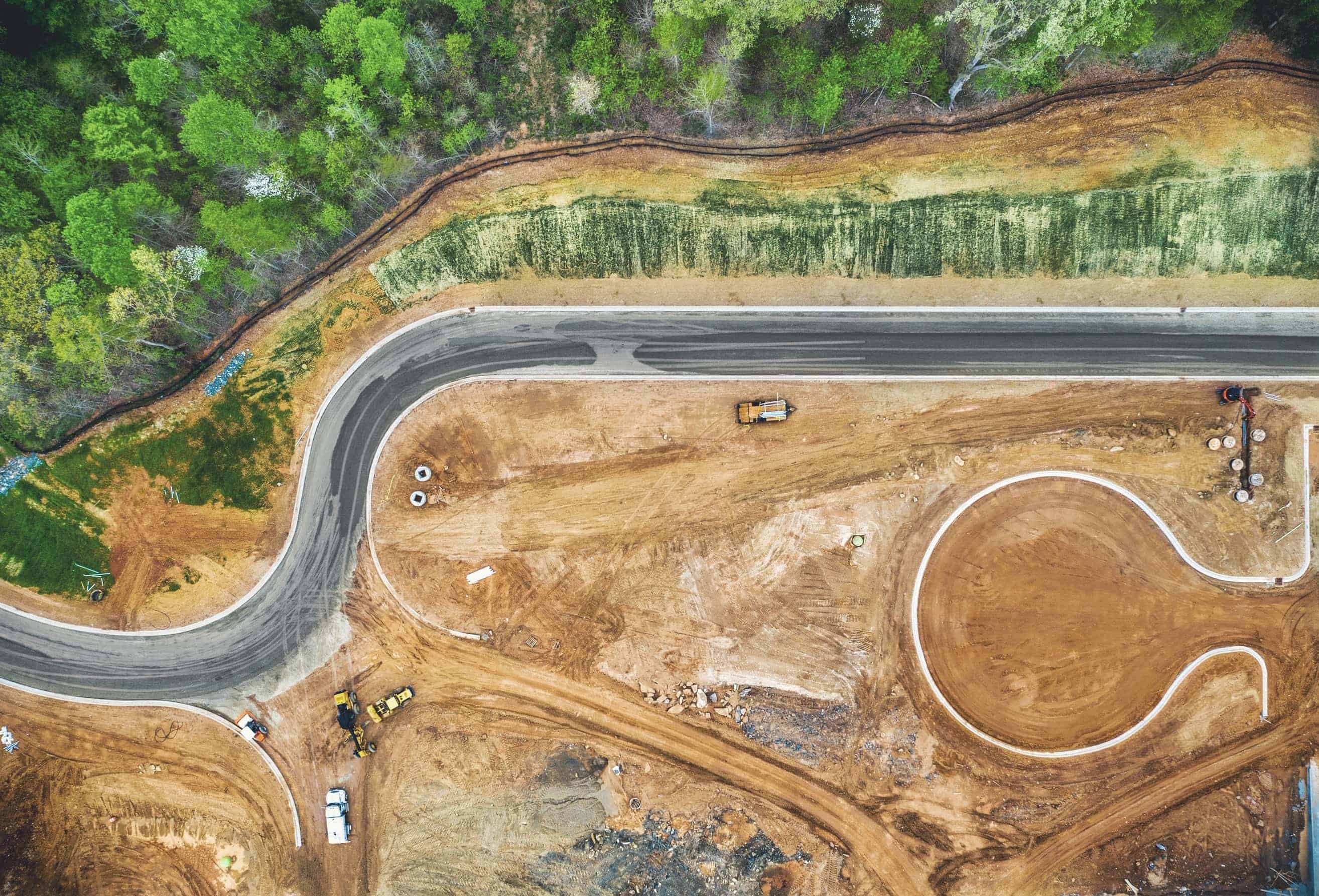
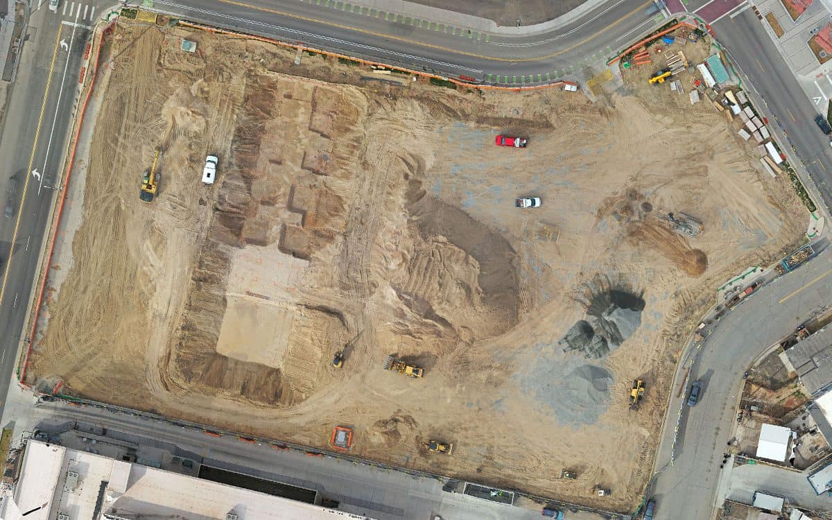
Every decision in construction and land development has far-reaching implications on time, cost, and environmental sustainability. A critical aspect of successful project execution is cut and fill…| FlyGuys
Learn about the types and levels of accuracy available in drone photogrammetry. Determine what level of accuracy your project will require.| FlyGuys
Using LiDAR, we offer commercial remote sensing services. With a vast network of pilots we scan unlimited acres. Contact Us Today!| FlyGuys
We provide industrial photogrammetry, inspections & data collection for industrial applications. Contact us for a free consult.| FlyGuys

Learn how reality data capture enhances disaster preparedness with 3D models for risk assessment, scenario planning, infrastructure monitoring.| FlyGuys
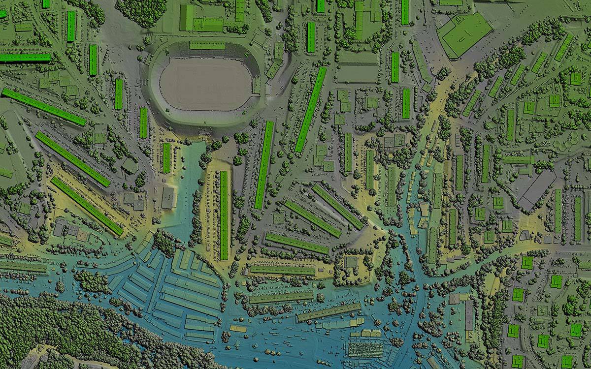
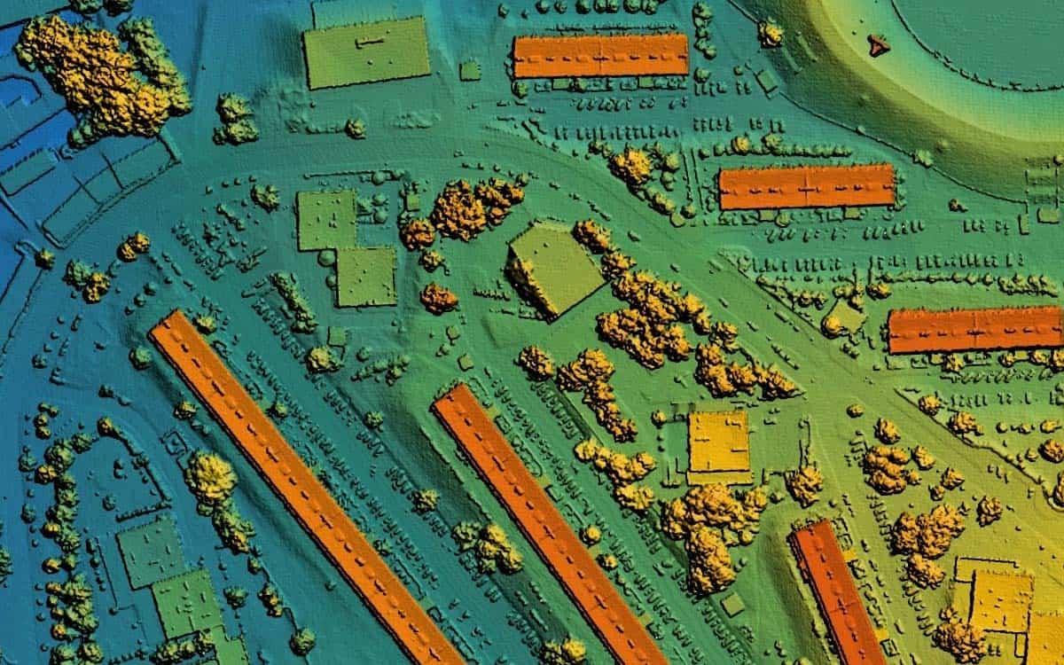
Discover the future of urban planning with LiDAR. Explore how it creates stunning 3D city models and empowers data-driven decisions.| FlyGuys
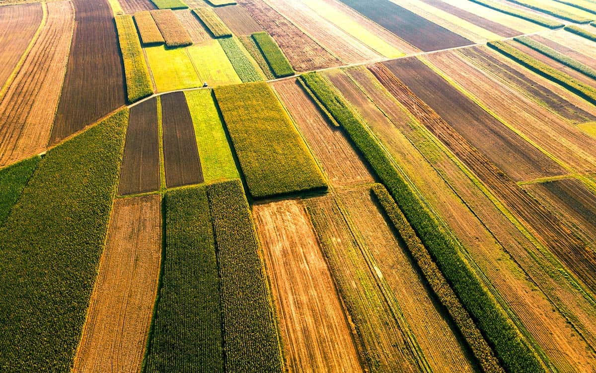
Explore the power of multispectral imaging in agriculture. Enhance crop health, disease prevention, and resource management.| FlyGuys
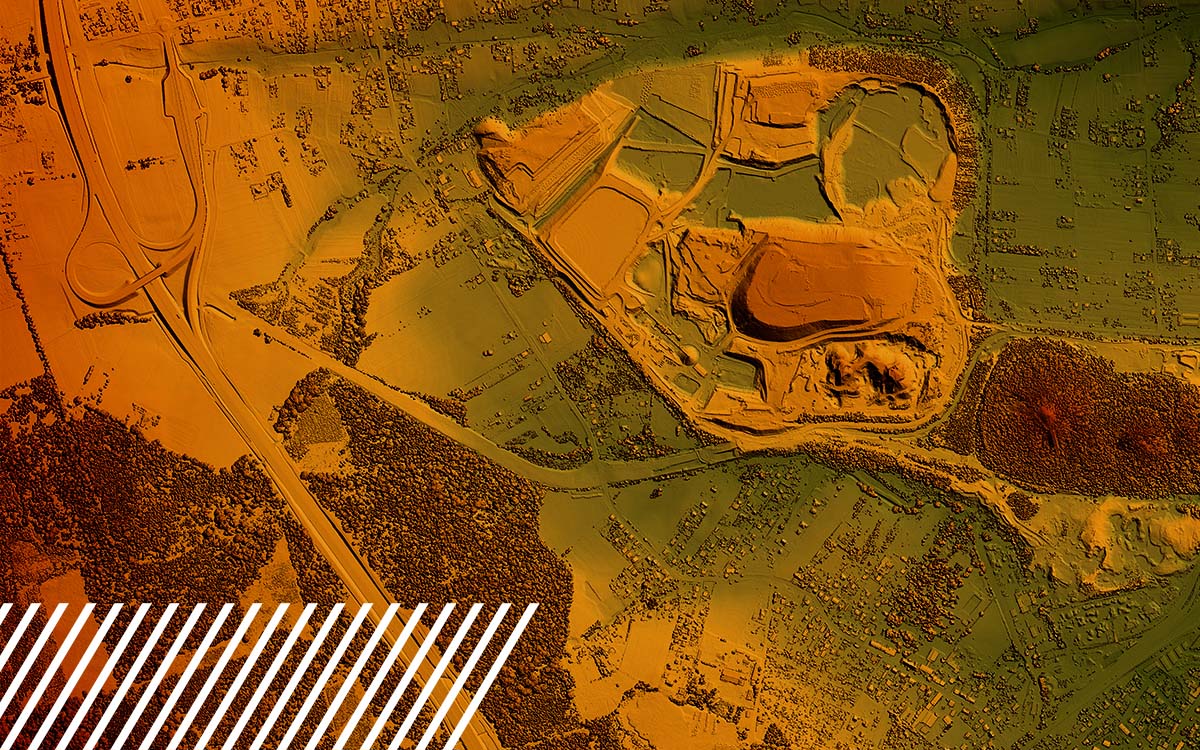
Discover the capabilities and limitations of LiDAR technology while dispelling common misconceptions about its various applications.| FlyGuys
Read how reality data capture is crucial for the engineering industry. Learn how the technology enables 3D modeling.| FlyGuys
Reality Data Capture empowers farmers with precise and real-time information about their fields aiding in decision-making.| FlyGuys

Explore 8 key factors in choosing the ideal reality data capture partner for your data collection needs to ensure quality data.| FlyGuys
