
Rob Atkinson | OGC Team
Meet Rob Atkinson, a valuable member of the OGC team, contributing to the development and implementation of open geospatial standards.| Open Geospatial Consortium
Meet Rob Atkinson, a valuable member of the OGC team, contributing to the development and implementation of open geospatial standards.| Open Geospatial Consortium

collaborative pilot led by OGC and co-sponsored by NASA, ESA, and the European Commission, advancing open science by making scientific workflows transparent, reusable, and interoperable across platforms. Join the effort to shape standards, validate cross-platform execution, and help build the future of open, reproducible research.| Open Geospatial Consortium
Explore OGC's technical papers, offering in-depth insights and research advancing geospatial standards, interoperability, and innovation worldwide.| Open Geospatial Consortium
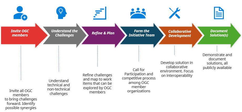
OGC COSI Program combines the expertise of its members to tackle important problems through research projects.| Open Geospatial Consortium
Review completed COSI initiatives that have advanced geospatial standards and interoperability.| Open Geospatial Consortium

OGC's currently active COSI Initiatives| Open Geospatial Consortium

Discover OGC's IndoorGML Standard, enabling the representation and sharing of indoor spatial information for navigation and analysis.| Open Geospatial Consortium

Discover OGC’s IndoorGML 2.0 Part 1 – a conceptual model enabling interoperable indoor navigation networks and spatial relationships. Free to download.| Open Geospatial Consortium
Learn about the SFA Standard by OGC, enabling consistent access and management of simple geospatial features across various applications.| Open Geospatial Consortium
Explore OGC's MUDDI Standard, enabling seamless integration and management of underground geospatial data for improved decision-making.| Open Geospatial Consortium
OGC, Khronos, Esri, Cesium, and Niantic are integrating 3D Gaussian Splats into glTF via new extensions and SPZ compression for interoperable, photorealistic geospatial data.| Open Geospatial Consortium

Explore OGC's Research in Action, showcasing advancements in geospatial technology, innovation, and the development of open standards.| Open Geospatial Consortium
August 20, 2025 | Open Geospatial Consortium

Explore how Alan Leidner’s 9/11 experience shaped global underground data standards and led to the creation of MUDDI with OGC.| Open Geospatial Consortium

Discover why full standardization isn’t required to optimize interoperability. Learn how stepwise, machine-readable standards drive scalable, automated systems.| Open Geospatial Consortium

Discover how geospatial systems are evolving into smart, interconnected ecosystems—and why this shift is critical for data, resilience, and digital transformation.| Open Geospatial Consortium

Undersea cables carry 99% of internet traffic. Learn how OGC’s geospatial standards help protect this critical infrastructure from risks and disruptions.| Open Geospatial Consortium

Discover how the OGC Simple Features Standard enables seamless geospatial data exchange, powering navigation apps, smart cities, and disaster response systems.| Open Geospatial Consortium

Discover how the MUDDI standard is transforming underground infrastructure data to build safer, smarter, and more resilient cities from the ground down.| Open Geospatial Consortium

Explore how GeoPose is driving geospatial standards adoption through key outreach events with W3C and Khronos, enabling open, XR-ready spatial web platforms.| Open Geospatial Consortium

Esri integrates Google’s Photorealistic 3D Tiles into ArcGIS, driving open standards, real-time data access, and innovation across industries worldwide.| Open Geospatial Consortium

Review a decade of OGC's contributions to mapping and public services innovation.| Open Geospatial Consortium
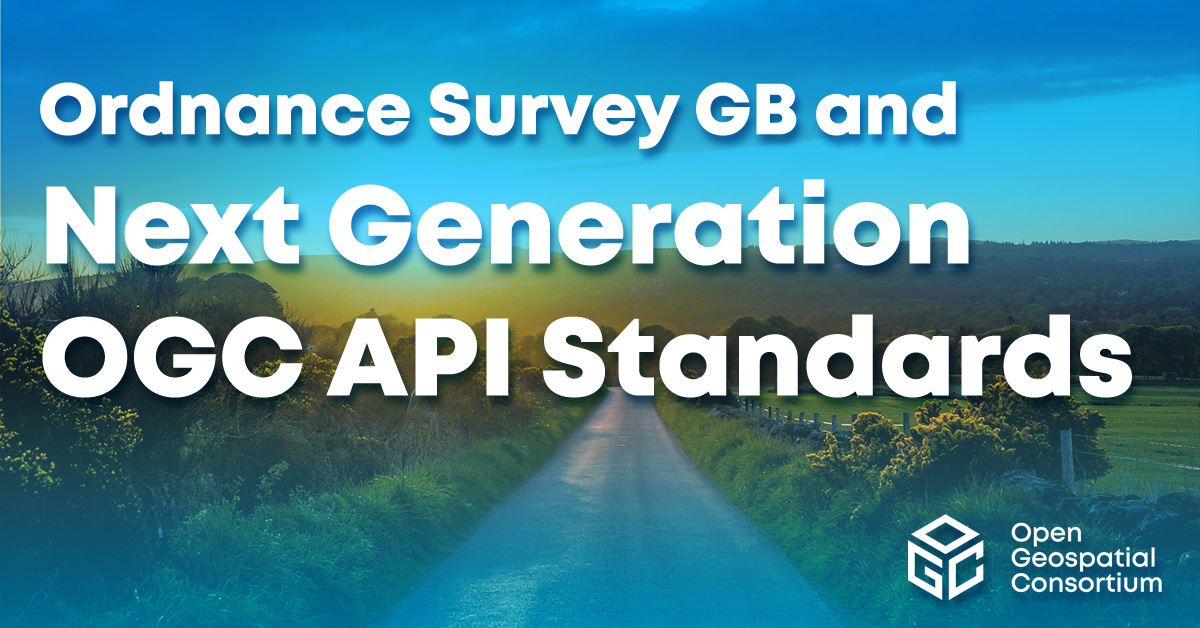
Explore the collaboration between Ordnance Survey GB and OGC on next-gen API standards.| Open Geospatial Consortium
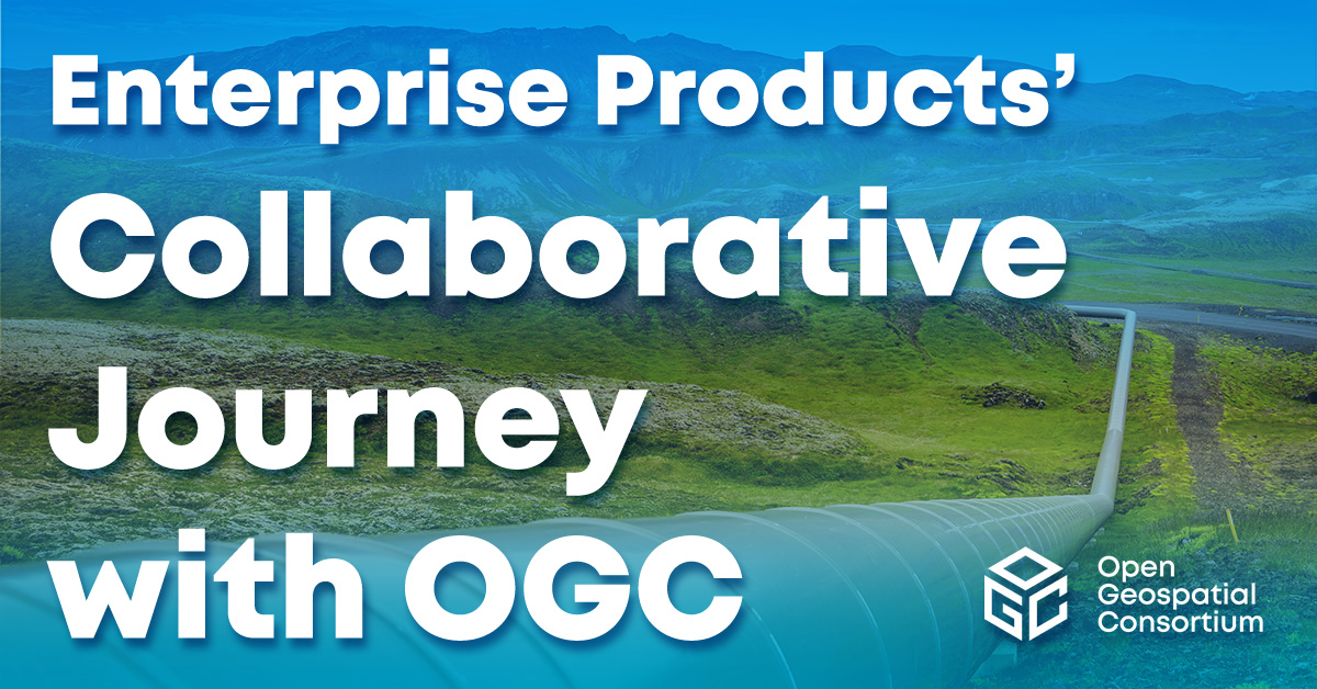
Explore how OGC collaborates on enterprise product development for geospatial standards.| Open Geospatial Consortium

Discover how OGC’s Open Science Demonstrator turns climate research—wildfire risk, drought, algal blooms, urban heat—into reusable geospatial workflows.| Open Geospatial Consortium

Explore how OGC is enabling trusted, interoperable space data systems for a rapidly evolving space economy. Learn why alignment, AI, and open standards matter more than ever.| Open Geospatial Consortium
Learn how OGC’s Integrity, Provenance & Trust (IPT) framework ensures reliability of synthetic geospatial imagery—vital for flood, wildfire, emergency & policy use.| Open Geospatial Consortium
August 28, 2025 | Open Geospatial Consortium

As OGC’s Chief Innovation Officer, Cassie Lee will leverage her expertise in aerospace, emerging technology, and geospatial AI to drive innovation and expand the Consortium’s impact.| Open Geospatial Consortium
Discover OGC's approval of API Maps Part 1: Core as an official standard, enhancing geospatial map delivery and integration capabilities.| Open Geospatial Consortium

Learn about OGC's approval of API Features Part 3: Filtering as an official standard, enhancing geospatial data query and retrieval capabilities.| Open Geospatial Consortium
Become a member of OGC and contribute to the development of open geospatial standards, fostering collaboration and innovation in the geospatial industry.| Open Geospatial Consortium
OGC approves two new Abstract Specification Topics on Coverages, enhancing geospatial data frameworks and supporting future implementation standards.| Open Geospatial Consortium

The virtual Code Sprint will be held held March 25-27, 2025. All OGC Standards are in scope for this code sprint, including OGC API Standards.| Open Geospatial Consortium
AfroLeadership joins OGC to advance geospatial innovation and collaboration, fostering growth and technology in Africa.| Open Geospatial Consortium

Learn about BNETD becoming an OGC Principal Member to contribute to advancing open geospatial standards and fostering global collaboration.| Open Geospatial Consortium

Celebrate OGC's 30th Anniversary as geospatial leaders and contributors are honored for advancing geospatial standards and innovation.| Open Geospatial Consortium

Learn about the approval of OGC API Moving Features Part 1 as a standard, advancing the handling of dynamic geospatial data.| Open Geospatial Consortium
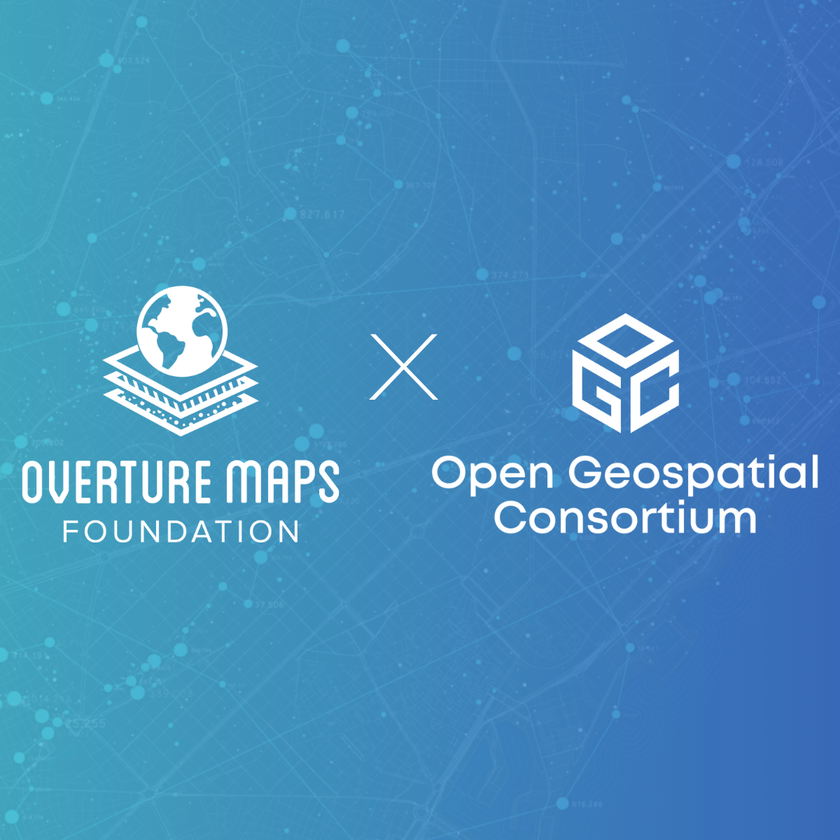
The Overture Maps Foundation joins OGC to strengthen the global geospatial community, advancing open standards and collaborative innovation.| Open Geospatial Consortium
Learn about OGC's approval of Common Query Language (CQL2) as an official standard, enhancing geospatial data query capabilities.| Open Geospatial Consortium
