
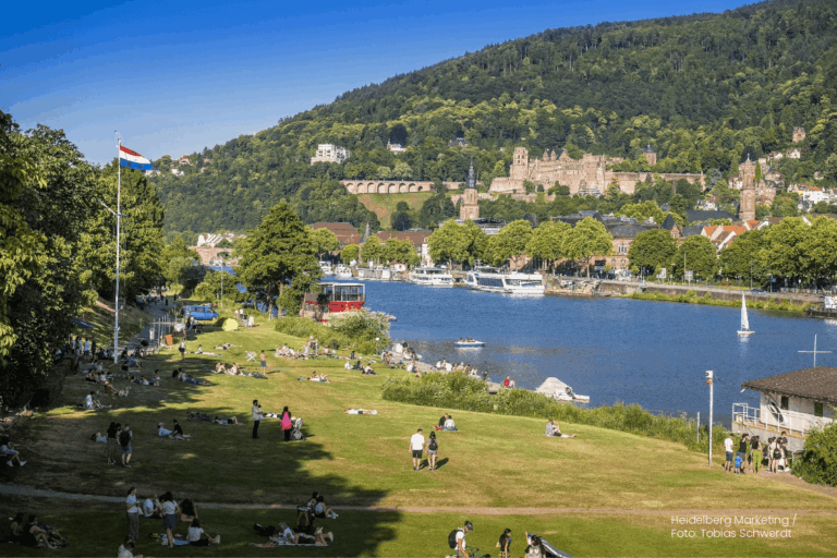
Students of the Institute of Geography at Heidelberg University explored local perceptions of urban heat in Heidelberg’s old town as part of a 2024 seminar on GIS for Disaster Risk Reduction and Humanitarian Aid. The project, supported by Heidelberg Institute for Geoinformation Technology (HeiGIT), tested participatory mapping using the Sketch Map Tool combined with KoboToolbox.| HeiGIT

This project explores how OpenStreetMap data can complement satellite imagery for tracking land cover changes in Germany. Using a small test area, we compare datasets over time to better understand how real-world changes are reflected in OSM—and how this knowledge can support automated monitoring.| HeiGIT
This study, published at African Transport Studies, investigates the impact of school sessions on traffic congestion in Nairobi, highlighting how children’s mobility needs are often overlooked in transport planning.| HeiGIT
Geoinformation for Humanitarian Aid| Heidelberg Institute for Geoinformation Technology