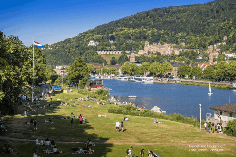
Students of the Institute of Geography at Heidelberg University explored local perceptions of urban heat in Heidelberg’s old town as part of a 2024 seminar on GIS for Disaster Risk Reduction and Humanitarian Aid. The project, supported by Heidelberg Institute for Geoinformation Technology (HeiGIT), tested participatory mapping using the Sketch Map Tool combined with KoboToolbox.