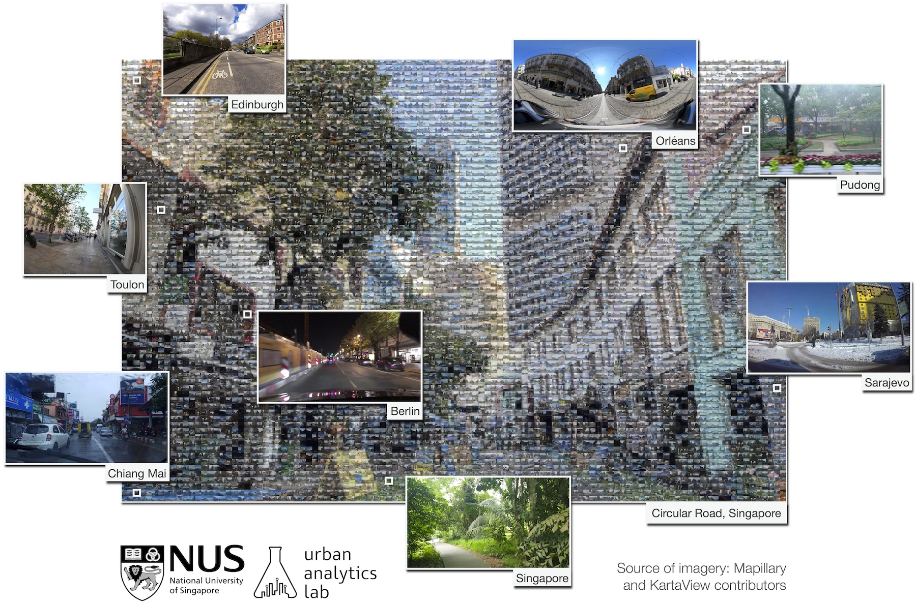
Street view imagery (SVI) is instrumental for sensing urban environments, benefitting numerous domains such as urban morphology, health, greenery, and accessibility. Billions of images worldwide have been made available by commercial services such as Google Street View and crowdsourcing services such as Mapillary and KartaView where anyone from anywhere can upload imagery while moving. However, while the data tend to be plentiful, have high coverage and quality, and are used to derive rich in...