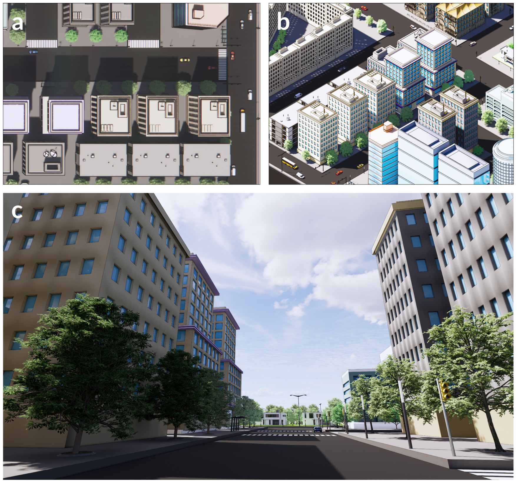
Street view imagery (SVI) has gained prominence in the past decade, offering a new perspective to map and understand cities. It supports numerous studies in the built environment, by replacing or supplementing aerial and satellite imagery, where some studies have not yet been possible with traditional platforms and have now been enabled for the first time thanks to the increasing volume of SVI data. However, the two perspectives are often disconnected and there has not been an overarching pap...